14 Gentry Branch Rd Weaverville, NC 28787
Estimated Value: $223,000 - $557,000
3
Beds
2
Baths
2,312
Sq Ft
$185/Sq Ft
Est. Value
About This Home
This home is located at 14 Gentry Branch Rd, Weaverville, NC 28787 and is currently estimated at $427,418, approximately $184 per square foot. 14 Gentry Branch Rd is a home located in Buncombe County with nearby schools including North Buncombe Elementary School, North Windy Ridge School, and North Buncombe Middle.
Ownership History
Date
Name
Owned For
Owner Type
Purchase Details
Closed on
Feb 20, 2025
Sold by
James William A
Bought by
Hampton Family Trust and Hampton
Current Estimated Value
Purchase Details
Closed on
Jun 3, 2022
Sold by
James Robin N and James William A
Bought by
James Robin N and James William A
Purchase Details
Closed on
Apr 10, 2019
Sold by
James Robin N and James William A
Bought by
James Robin N
Create a Home Valuation Report for This Property
The Home Valuation Report is an in-depth analysis detailing your home's value as well as a comparison with similar homes in the area
Home Values in the Area
Average Home Value in this Area
Purchase History
| Date | Buyer | Sale Price | Title Company |
|---|---|---|---|
| Hampton Family Trust | $224,500 | None Listed On Document | |
| Hampton Family Trust | $224,500 | None Listed On Document | |
| James Robin N | -- | Brock Law Firm Pllc | |
| James Robin N | -- | Chicago Title Insurance Co |
Source: Public Records
Tax History Compared to Growth
Tax History
| Year | Tax Paid | Tax Assessment Tax Assessment Total Assessment is a certain percentage of the fair market value that is determined by local assessors to be the total taxable value of land and additions on the property. | Land | Improvement |
|---|---|---|---|---|
| 2025 | $2,661 | $360,700 | $43,100 | $317,600 |
| 2024 | $2,661 | $360,700 | $58,100 | $302,600 |
| 2023 | $2,661 | $360,700 | $58,100 | $302,600 |
| 2022 | $2,554 | $360,700 | $0 | $0 |
| 2021 | $2,482 | $360,700 | $0 | $0 |
| 2020 | $2,000 | $274,300 | $0 | $0 |
| 2019 | $2,000 | $274,300 | $0 | $0 |
| 2018 | $2,000 | $274,300 | $0 | $0 |
| 2017 | $1,917 | $246,700 | $0 | $0 |
| 2016 | $1,860 | $246,700 | $0 | $0 |
| 2015 | $1,860 | $246,700 | $0 | $0 |
| 2014 | $1,860 | $246,700 | $0 | $0 |
Source: Public Records
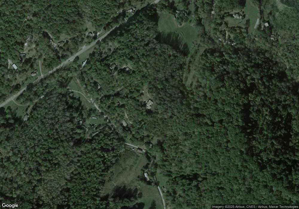
Map
Nearby Homes
- 62 Ebb Burnette Rd
- 120 Wilderness Dr
- 99999 McDaris Rd
- 55 Withers Ln
- Lot 6 Reaston Ridge
- 99999 Barnardsville Hwy Unit 121
- 99999 Barnardsville Hwy
- 25 Elkins Branch Rd Unit 1
- 26 Willie Ln
- 33 Sun Dog Dr
- 31 Jupiter Rd
- 99999 Ivywood Rd
- 40 Chambers Dr
- 99999 -2 Barnardsville Hwy
- 36 Stockton Branch Rd
- 15 Vision Hill Dr
- 136 Locust Grove Rd
- 3 Pleasant View Dr
- 00 Old Burnsville Rd
- 8 Rose Briar Cir
- 12 Gentry Branch Rd
- 12b Gentry Branch Rd
- 50 Gentry Branch Rd
- 10 Gentry Branch Rd
- 21 Gentry Branch Rd
- 61 Gentry Branch Rd
- 9 Gentry Branch Rd
- 29 Gentry Branch Rd
- TBD Gentry Branch Rd
- 300 Barnardsville Hwy
- 347 Barnardsville Hwy
- 0000 Mccalls Ln
- 12 Brayden Ln
- 71 Gentry Branch Rd
- 270 Barnardsville Hwy
- 243 Barnardsville Hwy
- 63 Arrowhead Fields Rd
- 7 Dalph Dr
- 11 Dalph Dr
- 84 Gentry Branch Rd