Estimated Value: $623,000 - $729,374
3
Beds
3
Baths
2,166
Sq Ft
$306/Sq Ft
Est. Value
About This Home
This home is located at 14 Good Hill Estates Rd, Kent, CT 06757 and is currently estimated at $662,594, approximately $305 per square foot. 14 Good Hill Estates Rd is a home located in Litchfield County with nearby schools including Kent Center School, Housatonic Valley Regional High School, and Kent School.
Ownership History
Date
Name
Owned For
Owner Type
Purchase Details
Closed on
Aug 20, 2003
Sold by
Ferris Raymond S and Ferris Lesly A
Bought by
Macritchie Joseph H and Macritchie Dorothy J
Current Estimated Value
Purchase Details
Closed on
Sep 29, 2000
Sold by
Baxter Brooke D and Baxter Mark G
Bought by
Ferris Raymond and Ferris Lesly
Home Financials for this Owner
Home Financials are based on the most recent Mortgage that was taken out on this home.
Original Mortgage
$171,000
Interest Rate
7.94%
Create a Home Valuation Report for This Property
The Home Valuation Report is an in-depth analysis detailing your home's value as well as a comparison with similar homes in the area
Home Values in the Area
Average Home Value in this Area
Purchase History
| Date | Buyer | Sale Price | Title Company |
|---|---|---|---|
| Macritchie Joseph H | $285,000 | -- | |
| Ferris Raymond | $180,000 | -- |
Source: Public Records
Mortgage History
| Date | Status | Borrower | Loan Amount |
|---|---|---|---|
| Previous Owner | Ferris Raymond | $271,000 | |
| Previous Owner | Ferris Raymond | $171,000 |
Source: Public Records
Tax History Compared to Growth
Tax History
| Year | Tax Paid | Tax Assessment Tax Assessment Total Assessment is a certain percentage of the fair market value that is determined by local assessors to be the total taxable value of land and additions on the property. | Land | Improvement |
|---|---|---|---|---|
| 2025 | $7,597 | $450,300 | $104,400 | $345,900 |
| 2024 | $7,020 | $450,300 | $104,400 | $345,900 |
| 2023 | $5,519 | $294,200 | $114,400 | $179,800 |
| 2022 | $5,463 | $294,200 | $114,400 | $179,800 |
| 2021 | $5,463 | $294,200 | $114,400 | $179,800 |
| 2020 | $5,475 | $294,200 | $114,400 | $179,800 |
| 2019 | $5,475 | $294,200 | $114,400 | $179,800 |
| 2018 | $5,417 | $291,100 | $144,700 | $146,400 |
| 2017 | $5,417 | $291,100 | $144,700 | $146,400 |
| 2016 | $5,336 | $291,100 | $144,700 | $146,400 |
| 2015 | $5,199 | $291,100 | $144,700 | $146,400 |
| 2014 | $4,969 | $291,800 | $144,700 | $147,100 |
Source: Public Records
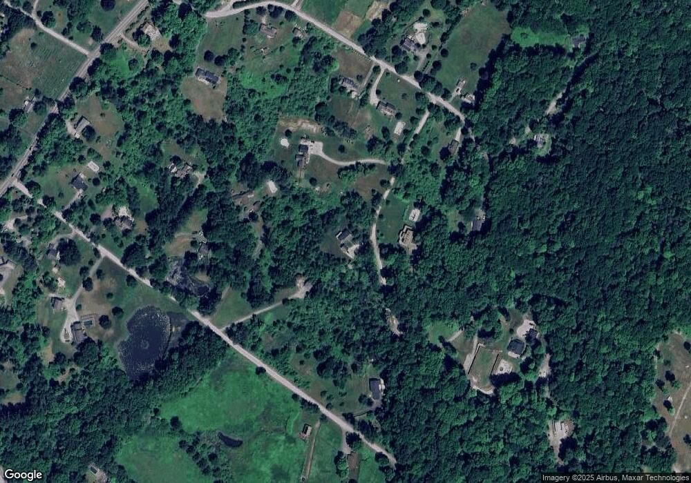
Map
Nearby Homes
- 23 Mauwee Brook Rd
- 0 Gorham Rd Unit 24138133
- 0 Mount Mauwee Rd
- 5 Weantinogue Ln
- 11 Old Paddock Ln
- 308 Skiff Mountain Rd
- 0 Stonewall Unit 39
- 13 Cobble Heights Rd
- 168 Cobble Rd
- 0 Richards Rd Unit 24140078
- 441 Segar Mountain Rd
- 221 Fuller Mountain Rd
- 00 Upper Kent Hollow Rd
- 50 Brick School Rd
- 1 W Woods Rd
- 73 Upper Kent Hollow Rd
- 8 Bobcat Ln
- 39 Treasure Hill Rd
- 591 Bog Hollow Rd
- 14 Straight Rd
- 19 Halls Ln
- 12 Good Hill Estates Rd
- 21 Halls Ln
- 17 Good Hill Estates Rd
- 15 Halls Ln
- 30 Botsford Rd
- 18 Botsford Rd
- 11 Halls Ln
- 31 Halls Ln
- 32 Botsford Rd
- 7 Halls Ln
- 6 Botsford Rd
- 27 Botsford Rd
- 21 Botsford Rd
- 12 Botsford Rd
- 30 Halls Ln
- 25 Good Hill Estates Rd
- 40 Botsford Rd
- 12 Halls Ln
- 192 Kent Cornwall Rd