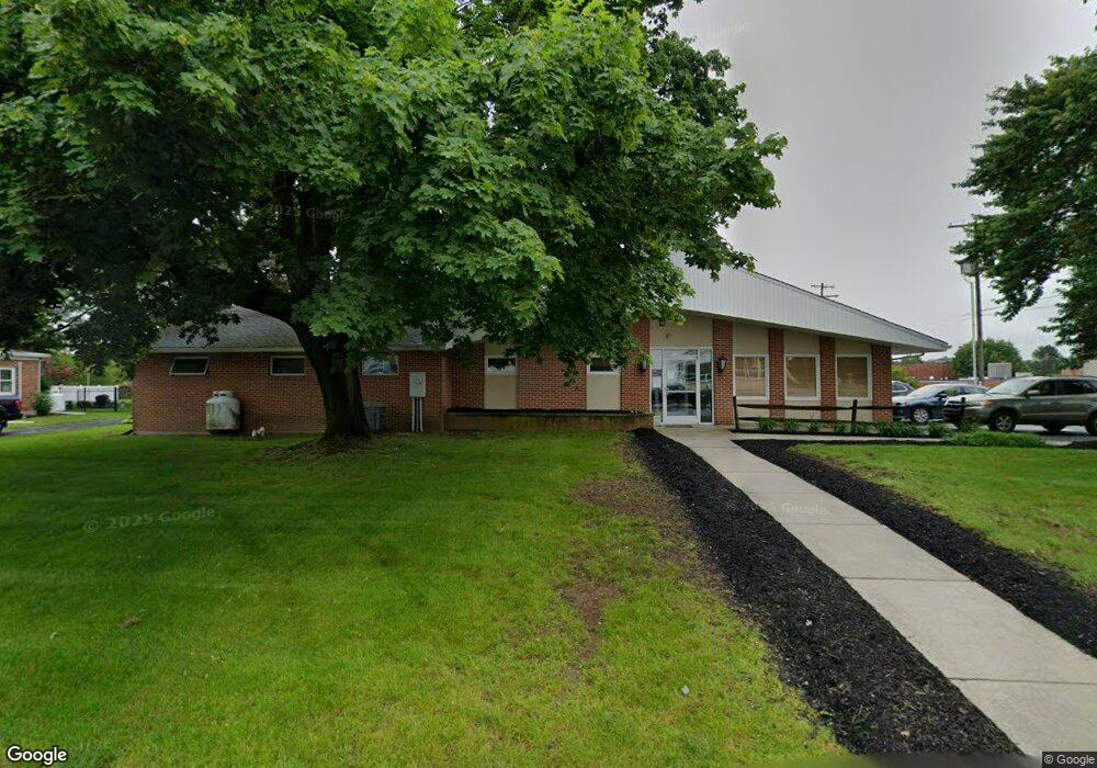
14 Grant Ln Jonestown, PA 17038
Estimated Value: $182,007 - $199,000
1
Bed
1
Bath
720
Sq Ft
$267/Sq Ft
Est. Value
About This Home
This home is located at 14 Grant Ln, Jonestown, PA 17038 and is currently estimated at $192,002, approximately $266 per square foot. 14 Grant Ln is a home located in Lebanon County with nearby schools including Northern Lebanon Senior High School, Blue Mountain Christian School, and Blue Mountain Christian Day School.
Ownership History
Date
Name
Owned For
Owner Type
Purchase Details
Closed on
Sep 17, 2024
Sold by
Mccorkel Amy Sue and Plasterer Jon Eugene
Bought by
Neidig Kaitlyn
Current Estimated Value
Home Financials for this Owner
Home Financials are based on the most recent Mortgage that was taken out on this home.
Original Mortgage
$164,997
Outstanding Balance
$163,142
Interest Rate
6.47%
Mortgage Type
New Conventional
Estimated Equity
$28,860
Create a Home Valuation Report for This Property
The Home Valuation Report is an in-depth analysis detailing your home's value as well as a comparison with similar homes in the area
Home Values in the Area
Average Home Value in this Area
Purchase History
| Date | Buyer | Sale Price | Title Company |
|---|---|---|---|
| Neidig Kaitlyn | $170,100 | None Listed On Document |
Source: Public Records
Mortgage History
| Date | Status | Borrower | Loan Amount |
|---|---|---|---|
| Open | Neidig Kaitlyn | $164,997 |
Source: Public Records
Tax History Compared to Growth
Tax History
| Year | Tax Paid | Tax Assessment Tax Assessment Total Assessment is a certain percentage of the fair market value that is determined by local assessors to be the total taxable value of land and additions on the property. | Land | Improvement |
|---|---|---|---|---|
| 2025 | $2,436 | $105,500 | $50,000 | $55,500 |
| 2024 | $2,136 | $105,500 | $50,000 | $55,500 |
| 2023 | $2,136 | $105,500 | $50,000 | $55,500 |
| 2022 | $2,070 | $105,500 | $50,000 | $55,500 |
| 2021 | $1,950 | $105,500 | $50,000 | $55,500 |
| 2020 | $1,914 | $105,500 | $50,000 | $55,500 |
| 2019 | $1,885 | $105,500 | $50,000 | $55,500 |
| 2018 | $1,844 | $105,500 | $50,000 | $55,500 |
| 2017 | $494 | $105,500 | $50,000 | $55,500 |
| 2016 | $1,765 | $105,500 | $50,000 | $55,500 |
| 2015 | -- | $105,500 | $50,000 | $55,500 |
| 2014 | -- | $105,500 | $50,000 | $55,500 |
Source: Public Records
Map
Nearby Homes
- 2963 Pennsylvania 72
- 60 Bordnersville Rd
- 0 Darkes Rd Unit PALN2019172
- 11 Wolfe Dr
- 3204 State Route 72
- 0 Fisher Ave
- 230 Monroe Valley Dr
- Lot #49 Ss Shepherd St
- 507 Shepherd St
- 2303 Quarry Rd
- 472 S Lancaster St Unit 8
- 22 Wildflower Cir
- 19 Racehorse Dr
- 2255 Quarry Rd
- 2301 Quarry Rd
- 8 Spruce Ln
- 2103 Thompson Ave
- 107 Moonshine Rd
- 29 Shirk Dr
- 26 Village Dr
- 2873 State Route 72
- 2867 State Route 72
- 0 Old Forge Rd Unit 10256889
- 2883 State Route 72
- 2855 State Route 72
- 2855 Pennsylvania 72
- 2857 State Route 72
- 2851 State Route 72
- 2870 State Route 72
- 2835 State Route 72
- 2900 State Route 72
- 2840 State Route 72
- 2848 State Route 72
- 0 Ss Greble Rd Unit 1000097114
- 494 Po Box
- 0 Old Forge Rd Unit 1003803867
- FORT SWATA Road Unit 4 A
- 141 Huckleberry Rd
- 2821 State Route 72
- 136 Huckleberry Rd