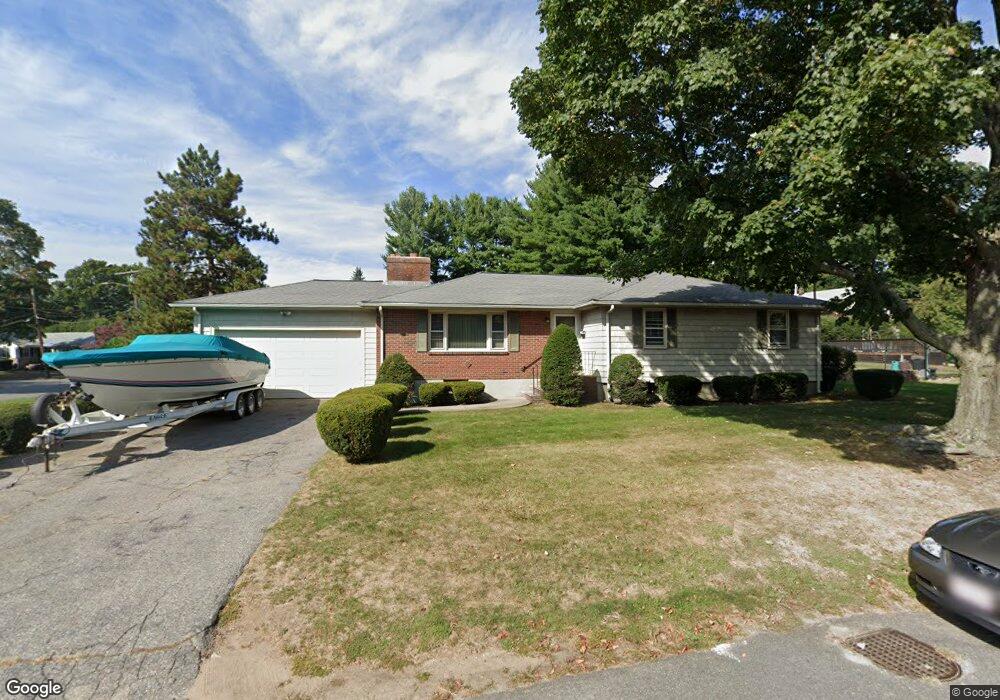
14 Greenview Rd Stoneham, MA 02180
Bear Hill NeighborhoodEstimated Value: $846,000 - $927,883
3
Beds
2
Baths
2,377
Sq Ft
$369/Sq Ft
Est. Value
About This Home
This home is located at 14 Greenview Rd, Stoneham, MA 02180 and is currently estimated at $876,294, approximately $368 per square foot. 14 Greenview Rd is a home located in Middlesex County with nearby schools including Stoneham High School, St Joseph School, and St. Patrick Elementary School.
Ownership History
Date
Name
Owned For
Owner Type
Purchase Details
Closed on
Mar 25, 2020
Sold by
First Abode Rt and Rossi
Bought by
Rossi David C and Rossi Susan B
Current Estimated Value
Home Financials for this Owner
Home Financials are based on the most recent Mortgage that was taken out on this home.
Original Mortgage
$435,000
Outstanding Balance
$383,680
Interest Rate
3.4%
Mortgage Type
New Conventional
Estimated Equity
$492,614
Create a Home Valuation Report for This Property
The Home Valuation Report is an in-depth analysis detailing your home's value as well as a comparison with similar homes in the area
Home Values in the Area
Average Home Value in this Area
Purchase History
| Date | Buyer | Sale Price | Title Company |
|---|---|---|---|
| Rossi David C | $575,000 | None Available | |
| Rossi David C | $575,000 | None Available |
Source: Public Records
Mortgage History
| Date | Status | Borrower | Loan Amount |
|---|---|---|---|
| Open | Rossi David C | $435,000 | |
| Closed | Rossi David C | $435,000 |
Source: Public Records
Tax History
| Year | Tax Paid | Tax Assessment Tax Assessment Total Assessment is a certain percentage of the fair market value that is determined by local assessors to be the total taxable value of land and additions on the property. | Land | Improvement |
|---|---|---|---|---|
| 2025 | $8,188 | $800,400 | $421,600 | $378,800 |
| 2024 | $7,840 | $740,300 | $401,600 | $338,700 |
| 2023 | $7,192 | $647,900 | $361,600 | $286,300 |
| 2022 | $6,273 | $602,600 | $341,600 | $261,000 |
| 2021 | $6,177 | $570,900 | $321,600 | $249,300 |
| 2020 | $6,493 | $601,800 | $311,600 | $290,200 |
| 2019 | $6,372 | $567,900 | $291,600 | $276,300 |
| 2018 | $6,210 | $530,300 | $271,600 | $258,700 |
| 2017 | $6,066 | $489,600 | $261,600 | $228,000 |
| 2016 | $5,817 | $458,000 | $251,600 | $206,400 |
| 2015 | $5,722 | $441,500 | $251,600 | $189,900 |
| 2014 | $5,608 | $415,700 | $241,600 | $174,100 |
Source: Public Records
Map
Nearby Homes
- 62 High St Unit Lot 8
- 62 High St Unit 4
- 62 High St Unit Lot 5
- 62 High St Unit Lot 12
- 66 Main St Unit 15A
- 8 Steele St
- 12 Isola Ln
- 64 Main St Unit 24B
- 98 Main St Unit 2
- 68 Main St Unit 21C
- 95 Prospect St
- 159 Main St Unit 27C
- 159 Main St Unit 39A
- 55 Bartley St
- 3 Valley Rd
- 58 Washington St
- 1 Tremont St
- 39 Cedar St
- 35 Tremont St
- 11 Valdora Dr
- 15 Greenview Rd
- 41 Lawndale Rd
- 42 Lawndale Rd
- 17 Greenview Rd
- 11 Greenview Rd
- 18 Greenview Rd
- 8 Greenview Rd
- 7 Marshall Rd
- 96 Macarthur Rd
- 9 Greenview Rd
- 8 Marshall Rd
- 19 Greenview Rd
- 40 Lawndale Rd
- 5 Peters Dr
- 3 Peters Dr
- LOT 19 Apple Hill Ln
- 98 Macarthur Rd
- 7 Greenview Rd
- 6 Marshall Rd
- 5 Marshall Rd
Your Personal Tour Guide
Ask me questions while you tour the home.