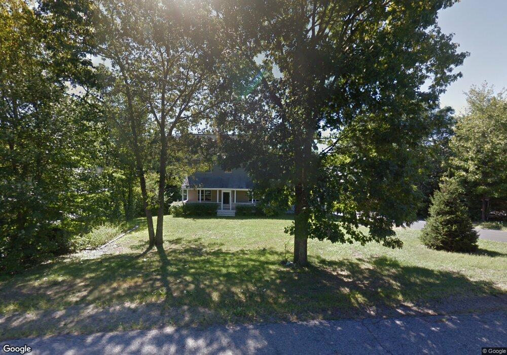
14 Gulliver Dr Sanford, ME 04073
South Sanford NeighborhoodEstimated Value: $559,000 - $633,548
3
Beds
3
Baths
2,288
Sq Ft
$264/Sq Ft
Est. Value
About This Home
This home is located at 14 Gulliver Dr, Sanford, ME 04073 and is currently estimated at $603,637, approximately $263 per square foot. 14 Gulliver Dr is a home located in York County.
Ownership History
Date
Name
Owned For
Owner Type
Purchase Details
Closed on
Aug 9, 2011
Sold by
Citigroup Mtg Loan Tinc
Bought by
Nadeau Eliabeth H and Nadeau James M
Current Estimated Value
Home Financials for this Owner
Home Financials are based on the most recent Mortgage that was taken out on this home.
Original Mortgage
$159,900
Outstanding Balance
$110,403
Interest Rate
4.51%
Mortgage Type
Purchase Money Mortgage
Estimated Equity
$493,234
Purchase Details
Closed on
Nov 2, 2010
Sold by
Citigroup Global Mkts Rlt
Bought by
Citigroup Mtg Loan T Inc and Hsbc Bank Usa Na
Create a Home Valuation Report for This Property
The Home Valuation Report is an in-depth analysis detailing your home's value as well as a comparison with similar homes in the area
Home Values in the Area
Average Home Value in this Area
Purchase History
| Date | Buyer | Sale Price | Title Company |
|---|---|---|---|
| Nadeau Eliabeth H | -- | -- | |
| Citigroup Mtg Loan Tinc | -- | -- | |
| Citigroup Mtg Loan T Inc | -- | -- |
Source: Public Records
Mortgage History
| Date | Status | Borrower | Loan Amount |
|---|---|---|---|
| Open | Citigroup Mtg Loan Tinc | $159,900 | |
| Closed | Nadeau Eliabeth H | $159,900 |
Source: Public Records
Tax History Compared to Growth
Tax History
| Year | Tax Paid | Tax Assessment Tax Assessment Total Assessment is a certain percentage of the fair market value that is determined by local assessors to be the total taxable value of land and additions on the property. | Land | Improvement |
|---|---|---|---|---|
| 2024 | $7,353 | $455,600 | $56,000 | $399,600 |
| 2023 | $6,842 | $451,900 | $56,000 | $395,900 |
| 2022 | $6,688 | $451,900 | $56,000 | $395,900 |
| 2021 | $6,392 | $351,600 | $56,000 | $295,600 |
| 2020 | $6,028 | $299,000 | $56,000 | $243,000 |
| 2019 | $5,879 | $284,000 | $56,000 | $228,000 |
| 2018 | $5,851 | $285,400 | $46,600 | $238,800 |
| 2017 | $5,575 | $268,800 | $46,600 | $222,200 |
| 2016 | $5,585 | $245,600 | $46,700 | $198,900 |
| 2015 | $5,338 | $242,200 | $54,800 | $187,400 |
| 2014 | $5,329 | $244,500 | $57,100 | $187,400 |
| 2013 | -- | $246,500 | $57,100 | $189,400 |
Source: Public Records
Map
Nearby Homes
- 18 Fife Ln
- Lot 4 Tbd Lentago Ln Unit Lot 4
- Lot 2 Lentago Ln
- 42 Bernice Ave
- 12 Birch Ln
- 600 High St
- 43 Michaels Rd
- 648 Quarry Rd
- 122 Country Club 3 Rd
- 41 Sunny Ln
- 89 Minuteman Dr
- 2 Harveys Way
- Lot 11 Laney Ln
- lot 10 Laney Ln
- TBD Sam Allen Rd
- Lot 13 Laney Ln
- 99 Channel Ln
- 15 Roger Way
- 56 Sam Allen Rd
- Lot 8E Country Club Rd