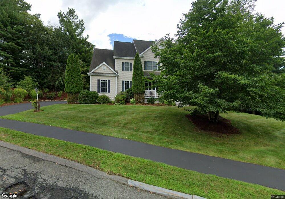
14 Hales Pond Ln Wrentham, MA 02093
West Wrentham NeighborhoodEstimated Value: $1,053,889 - $1,463,000
4
Beds
4
Baths
4,000
Sq Ft
$307/Sq Ft
Est. Value
About This Home
This home is located at 14 Hales Pond Ln, Wrentham, MA 02093 and is currently estimated at $1,228,722, approximately $307 per square foot. 14 Hales Pond Ln is a home located in Norfolk County with nearby schools including Delaney Elementary School, Charles E Roderick, and Rise Prep Mayoral Academy Middle School.
Ownership History
Date
Name
Owned For
Owner Type
Purchase Details
Closed on
Mar 20, 2025
Sold by
Fitzpatrick Richard J and Fitzpatrick Lori A
Bought by
Fitzpatrick Ft and Fitzpatrick
Current Estimated Value
Purchase Details
Closed on
May 6, 2004
Sold by
Mountain Dog Bldg
Bought by
Fitzpatrick Lori A and Fitzpatrick Richard J
Home Financials for this Owner
Home Financials are based on the most recent Mortgage that was taken out on this home.
Original Mortgage
$333,700
Interest Rate
5.39%
Mortgage Type
Purchase Money Mortgage
Create a Home Valuation Report for This Property
The Home Valuation Report is an in-depth analysis detailing your home's value as well as a comparison with similar homes in the area
Home Values in the Area
Average Home Value in this Area
Purchase History
| Date | Buyer | Sale Price | Title Company |
|---|---|---|---|
| Fitzpatrick Ft | -- | None Available | |
| Fitzpatrick Ft | -- | None Available | |
| Fitzpatrick Lori A | $700,000 | -- | |
| Fitzpatrick Lori A | $700,000 | -- |
Source: Public Records
Mortgage History
| Date | Status | Borrower | Loan Amount |
|---|---|---|---|
| Previous Owner | Fitzpatrick Lori A | $100,000 | |
| Previous Owner | Fitzpatrick Lori A | $314,000 | |
| Previous Owner | Fitzpatrick Lori A | $333,700 |
Source: Public Records
Tax History Compared to Growth
Tax History
| Year | Tax Paid | Tax Assessment Tax Assessment Total Assessment is a certain percentage of the fair market value that is determined by local assessors to be the total taxable value of land and additions on the property. | Land | Improvement |
|---|---|---|---|---|
| 2025 | $11,788 | $1,017,100 | $292,800 | $724,300 |
| 2024 | $11,084 | $923,700 | $292,800 | $630,900 |
| 2023 | $11,435 | $906,100 | $266,200 | $639,900 |
| 2022 | $10,642 | $778,500 | $239,600 | $538,900 |
| 2021 | $9,985 | $709,700 | $214,000 | $495,700 |
| 2020 | $10,655 | $747,700 | $195,300 | $552,400 |
| 2019 | $10,450 | $740,100 | $213,100 | $527,000 |
| 2018 | $9,069 | $636,900 | $212,700 | $424,200 |
| 2017 | $8,849 | $621,000 | $208,600 | $412,400 |
| 2016 | $8,669 | $607,100 | $202,600 | $404,500 |
| 2015 | $8,855 | $591,100 | $194,700 | $396,400 |
| 2014 | $8,776 | $573,200 | $187,300 | $385,900 |
Source: Public Records
Map
Nearby Homes
- 25 Nature View Dr
- 20 Nature View Dr
- 219 Dawn Blvd
- 9 Pebble Cir Unit 9
- 65 Palmetto Dr Unit 65
- 24 Palmetto Dr Unit 24
- 21 Palmetto Dr Unit 21
- 180 Pine Swamp Rd
- 56 Pine Swamp Rd
- 2095 West St
- 10 Stoneham Dr
- 29 Squire Ln
- 245 W Wrentham Rd
- 444 Knollwood Dr
- 56 Arland Ct
- 124 Lake St
- 340 Wrentham Rd
- 2 Duhamel Way
- 4 Carnation St
- 1250 Pulaski Blvd
- 10 Hales Pond Ln
- 10 Hales Pond Ln Unit 30
- 11 Hales Pond Ln
- 11 Hales Pond Ln
- 18 Hales Pond Ln
- 12 Hales Pond Ln Unit 38
- 7 Hales Pond Ln
- 22 Hales Pond Ln
- 15 Hales Pond Ln
- 6 Hales Pond Ln
- 54
- 54 Whipple Brook Rd
- 26 Hales Pond Ln
- 5 Hales Pond Ln
- 30 Hales Pond Ln
- 19 Whipple Brook Rd
- 22 Whipple Brook Rd
- 58 Whipple Brook Rd
- 34 Hales Pond Ln
- 66 Whipple Brook Rd