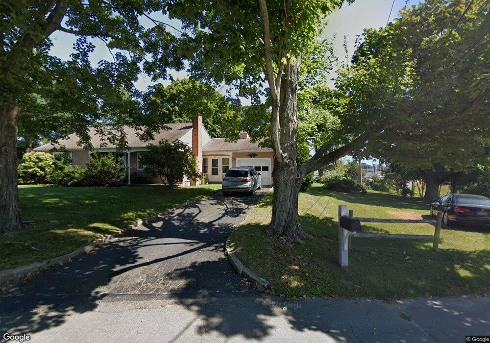
14 Hammock Rd S Westbrook, CT 06498
Estimated Value: $639,712 - $880,000
3
Beds
1
Bath
1,624
Sq Ft
$451/Sq Ft
Est. Value
About This Home
This home is located at 14 Hammock Rd S, Westbrook, CT 06498 and is currently estimated at $732,678, approximately $451 per square foot. 14 Hammock Rd S is a home located in Middlesex County with nearby schools including Daisy Ingraham School, Westbrook Middle School, and Westbrook High School.
Ownership History
Date
Name
Owned For
Owner Type
Purchase Details
Closed on
Sep 16, 2004
Sold by
Crystal Diane L
Bought by
Crystal Timothy J
Current Estimated Value
Home Financials for this Owner
Home Financials are based on the most recent Mortgage that was taken out on this home.
Original Mortgage
$39,500
Interest Rate
4.5%
Mortgage Type
Purchase Money Mortgage
Create a Home Valuation Report for This Property
The Home Valuation Report is an in-depth analysis detailing your home's value as well as a comparison with similar homes in the area
Home Values in the Area
Average Home Value in this Area
Purchase History
| Date | Buyer | Sale Price | Title Company |
|---|---|---|---|
| Crystal Timothy J | $39,500 | -- |
Source: Public Records
Mortgage History
| Date | Status | Borrower | Loan Amount |
|---|---|---|---|
| Open | Crystal Timothy J | $65,001 | |
| Closed | Crystal Timothy J | $39,500 |
Source: Public Records
Tax History Compared to Growth
Tax History
| Year | Tax Paid | Tax Assessment Tax Assessment Total Assessment is a certain percentage of the fair market value that is determined by local assessors to be the total taxable value of land and additions on the property. | Land | Improvement |
|---|---|---|---|---|
| 2025 | $7,500 | $333,350 | $238,650 | $94,700 |
| 2024 | $7,234 | $333,350 | $238,650 | $94,700 |
| 2023 | $7,107 | $333,350 | $238,650 | $94,700 |
| 2022 | $6,920 | $333,350 | $238,650 | $94,700 |
| 2021 | $7,257 | $290,260 | $199,150 | $91,110 |
| 2020 | $7,257 | $290,260 | $199,150 | $91,110 |
| 2019 | $7,161 | $290,260 | $199,150 | $91,110 |
| 2018 | $7,074 | $290,260 | $199,150 | $91,110 |
| 2017 | $7,074 | $290,260 | $199,150 | $91,110 |
| 2016 | $7,608 | $328,760 | $230,120 | $98,640 |
| 2015 | $7,400 | $328,760 | $230,120 | $98,640 |
| 2014 | $7,164 | $328,760 | $230,120 | $98,640 |
Source: Public Records
Map
Nearby Homes
- 0 Boston Post Rd Unit 24080344
- 610 Marina Way Landing Unit 610
- 328 Hammock Rd N
- 912 Boston Post Rd
- 951 Old Clinton Rd Unit 15
- 86 Grove Beach Rd N
- 1110 Old Clinton Rd
- 50 & 61 Grove Way
- 166 Fiske Ln
- 407 Grove Beach Rd N
- 5 Robin Ln
- 11a/11b Pond Circle Rd
- 448 A - B Grove Beach Rd N
- 41 Trolley Rd
- 29 Salt Island Rd
- 37 Nolin Rd
- 109 Old Post Rd
- 0 Causeway
- 176 Shore Rd
- 87 McVeagh Rd
- 24 Hammock Rd S
- 36 Hammock Rd S
- 40 Hammock Rd S
- 35 Hammock Rd S
- 00 Hammock Rd S
- 0 Hammock Rd N Unit M9140777
- 0 Hammock Rd N Unit 170364317
- 0 Hammock Rd N Unit M9123402
- 38 Hammock Rd S
- 48 Hammock Rd S
- 46 Hammock Rd S
- 21 Hammock Rd S
- 55 Hammock Rd S
- 16 Old Boston Post Rd
- 24 Old Boston Post Rd
- 36 Old Boston Post Rd
- 57 Hammock Rd S
- 16 Hammock Rd N
- 19 Hammock Rd S
- 0 Boston Post Rd Unit M9112472