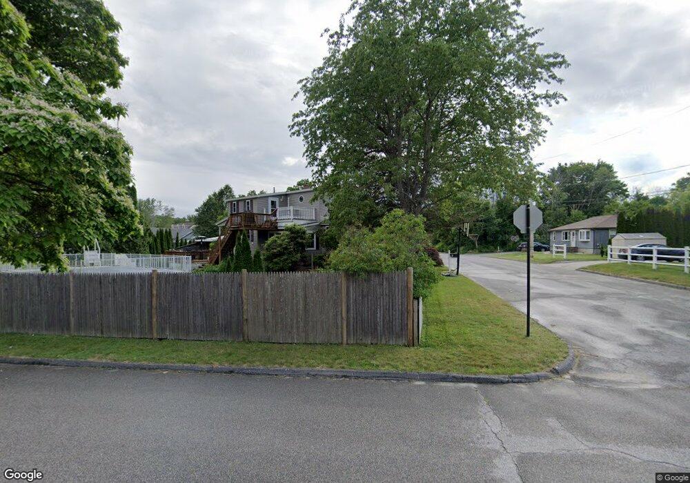
14 Hampton St Worcester, MA 01604
Broadmeadow Brook NeighborhoodEstimated Value: $447,000 - $488,000
3
Beds
2
Baths
1,146
Sq Ft
$408/Sq Ft
Est. Value
About This Home
This home is located at 14 Hampton St, Worcester, MA 01604 and is currently estimated at $467,272, approximately $407 per square foot. 14 Hampton St is a home located in Worcester County with nearby schools including Jacob Hiatt Magnet School, Chandler Magnet, and Rice Square Elementary School.
Ownership History
Date
Name
Owned For
Owner Type
Purchase Details
Closed on
Dec 15, 2021
Sold by
Zinkus Maria C
Bought by
Zinkus Maria C and Pedone Michael R
Current Estimated Value
Purchase Details
Closed on
Oct 21, 1999
Sold by
Gentile Vincent L and Gentile Caryn M
Bought by
Zinkus Maria C
Purchase Details
Closed on
Mar 13, 1989
Sold by
Campanale Lois E
Bought by
Gentile Vincent
Create a Home Valuation Report for This Property
The Home Valuation Report is an in-depth analysis detailing your home's value as well as a comparison with similar homes in the area
Home Values in the Area
Average Home Value in this Area
Purchase History
| Date | Buyer | Sale Price | Title Company |
|---|---|---|---|
| Zinkus Maria C | -- | None Available | |
| Zinkus Maria C | $145,000 | -- | |
| Gentile Vincent | $150,000 | -- |
Source: Public Records
Mortgage History
| Date | Status | Borrower | Loan Amount |
|---|---|---|---|
| Previous Owner | Gentile Vincent | $136,000 | |
| Previous Owner | Gentile Vincent | $135,000 | |
| Previous Owner | Gentile Vincent | $135,000 |
Source: Public Records
Tax History
| Year | Tax Paid | Tax Assessment Tax Assessment Total Assessment is a certain percentage of the fair market value that is determined by local assessors to be the total taxable value of land and additions on the property. | Land | Improvement |
|---|---|---|---|---|
| 2025 | $5,908 | $447,900 | $117,800 | $330,100 |
| 2024 | $5,742 | $417,600 | $117,800 | $299,800 |
| 2023 | $5,607 | $391,000 | $102,400 | $288,600 |
| 2022 | $4,858 | $319,400 | $81,900 | $237,500 |
| 2021 | $4,799 | $294,800 | $65,500 | $229,300 |
| 2020 | $4,614 | $271,400 | $65,500 | $205,900 |
| 2019 | $4,502 | $250,100 | $58,900 | $191,200 |
| 2018 | $4,518 | $238,900 | $58,900 | $180,000 |
| 2017 | $4,323 | $224,900 | $58,900 | $166,000 |
| 2016 | $4,277 | $207,500 | $42,900 | $164,600 |
| 2015 | $4,165 | $207,500 | $42,900 | $164,600 |
| 2014 | $4,055 | $207,500 | $42,900 | $164,600 |
Source: Public Records
Map
Nearby Homes
- 62 Allston Ave
- 20 Brightwood Ave
- 53 Denver Terrace
- 256 Massasoit Rd
- 16 Vincent Cir
- 259 Massasoit Rd
- 25 Stoneham Rd
- 266 Massasoit Rd
- 83 Massasoit Rd
- 16 Arborwood Dr
- 3 Julien Ave
- 41 Bridgeport St
- 21 Bolton St
- 20 Bolton St
- 143 Dorcester
- 330 Sunderland Rd Unit 80
- 37 Dane Ave
- 32 Granite St
- 429 Grafton St Unit 2
- 12 Benham St
- 1 Hampton St
- 3 Tiffany Ave
- 16B Hampton St
- 16A Hampton St
- 16 Hampton St Unit B
- 16 Hampton St Unit A
- 16 Hampton St
- 91 Brightwood Ave
- 91B Brightwood Ave
- 91A Brightwood Ave
- 17 Hampton St
- 250 Brightwood Ave
- 5 Tiffany Ave
- 18 Hampton St
- 1 Tiffany Ave
- 18 Hampton St
- 18 Hampton St Unit B
- 18 Hampton St Unit A
- 15 Tiffany Ave
- 3 Hampton St
Your Personal Tour Guide
Ask me questions while you tour the home.