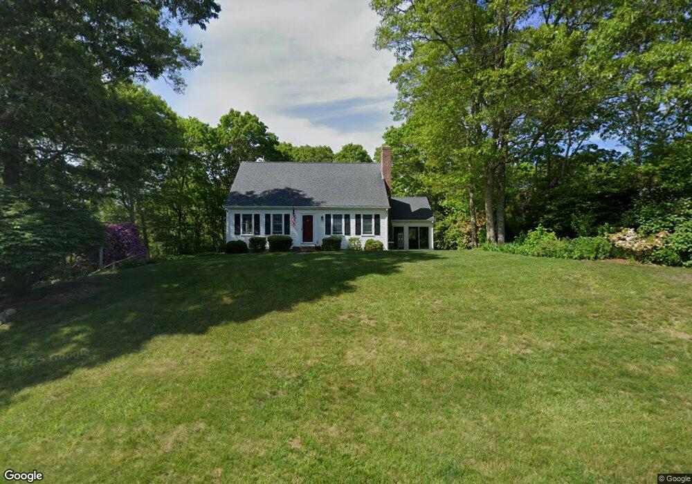
14 Hamstead Ln Yarmouth Port, MA 02675
Barnstable Village NeighborhoodEstimated Value: $726,000 - $911,000
2
Beds
2
Baths
1,801
Sq Ft
$460/Sq Ft
Est. Value
About This Home
This home is located at 14 Hamstead Ln, Yarmouth Port, MA 02675 and is currently estimated at $827,936, approximately $459 per square foot. 14 Hamstead Ln is a home located in Barnstable County with nearby schools including West Barnstable Elementary School, Barnstable United Elementary School, and Barnstable Intermediate School.
Ownership History
Date
Name
Owned For
Owner Type
Purchase Details
Closed on
Jun 22, 2021
Sold by
Higgins Maureen C
Bought by
Maureen C Higgins Irt
Current Estimated Value
Purchase Details
Closed on
Jul 7, 2020
Sold by
Higgins Maureen C
Bought by
Maureen C Higgins Irt
Purchase Details
Closed on
Mar 16, 2004
Sold by
Haynes Naomi K
Bought by
Higgins Anthony S
Create a Home Valuation Report for This Property
The Home Valuation Report is an in-depth analysis detailing your home's value as well as a comparison with similar homes in the area
Home Values in the Area
Average Home Value in this Area
Purchase History
| Date | Buyer | Sale Price | Title Company |
|---|---|---|---|
| Maureen C Higgins Irt | -- | None Available | |
| Maureen C Higgins Irt | -- | None Available | |
| Higgins Anthony S | $407,000 | -- |
Source: Public Records
Tax History Compared to Growth
Tax History
| Year | Tax Paid | Tax Assessment Tax Assessment Total Assessment is a certain percentage of the fair market value that is determined by local assessors to be the total taxable value of land and additions on the property. | Land | Improvement |
|---|---|---|---|---|
| 2025 | $6,151 | $665,700 | $246,900 | $418,800 |
| 2024 | $5,638 | $643,600 | $246,900 | $396,700 |
| 2023 | $5,221 | $581,400 | $224,400 | $357,000 |
| 2022 | $5,084 | $455,600 | $154,400 | $301,200 |
| 2021 | $4,861 | $415,100 | $156,800 | $258,300 |
| 2020 | $4,876 | $397,700 | $156,800 | $240,900 |
| 2019 | $4,690 | $383,800 | $166,300 | $217,500 |
| 2018 | $4,811 | $382,400 | $193,800 | $188,600 |
| 2017 | $4,675 | $374,000 | $193,800 | $180,200 |
| 2016 | $4,611 | $374,000 | $193,800 | $180,200 |
| 2015 | $4,444 | $367,000 | $192,200 | $174,800 |
Source: Public Records
Map
Nearby Homes
- 65 Oakmont Rd
- 81 Desert Sands Ln
- 25 Congressional Dr
- 33 Midpine Rd
- 44 Iris Ln
- 92 Brentwood Ln
- 92 Brentwood Dr
- 4390 Main St
- 41 Dromoland Ln
- 99 Old Hyannis Rd
- 111 Old Hyannis Rd
- 105 Old Hyannis Rd
- 112 Main St
- 116 Main St
- 116 Main (Route 6a) St
- 30 Indian Trail
- 17 Indian Trail
- 21 Indian Trail
- 56 Wharf Ln
- 162 Route 6a
- 28 Hamstead Ln
- 342 Marstons Ln
- 11 Hamstead Ln
- 379 Mid Pine Dr
- 379 Midpine Rd
- 33 Hamstead Ln
- 10 Oakmont Rd
- 10 Oakmont Rd
- 394 Marstons Ln
- 326 Marstons Ln
- 371 Marstons Ln
- 57 Hamstead Ln
- 405 Marstons Ln
- 357 Mid Pine Dr
- 306 Marstons Ln
- 64 Hamstead Ln
- 64 Hamstead
- 319 Marstons Ln
- 582 Marstons Ln
- 28 Oakmont Rd