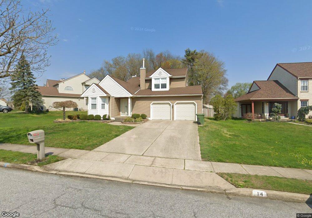
14 Hawk Ln Marlton, NJ 08053
Estimated Value: $566,000 - $639,000
About This Home
This home is located at 14 Hawk Ln, Marlton, NJ 08053 and is currently estimated at $608,194, approximately $252 per square foot. 14 Hawk Ln is a home located in Burlington County with nearby schools including Robert B. Jaggard School, Marlton Middle School, and Cherokee High School.
Ownership History
We collect this data history from publicly available records. To have your information removed, we recommend requesting removal directly through your county’s website.
Purchase Details
Home Financials for this Owner
Home Financials are based on the most recent Mortgage that was taken out on this home.Purchase Details
Home Values in the Area
Average Home Value in this Area
Purchase History
We collect this data history from publicly available records. To have your information removed, we recommend requesting removal directly through your county’s website.
| Date | Buyer | Sale Price | Title Company |
|---|---|---|---|
| $290,000 | -- | ||
| $169,000 | Lawrence Abstract Company |
Mortgage History
We collect this data history from publicly available records. To have your information removed, we recommend requesting removal directly through your county’s website.
| Date | Status | Borrower | Loan Amount |
|---|---|---|---|
| Open | $232,000 |
Tax History
We collect this data history from publicly available records. To have your information removed, we recommend requesting removal directly through your county’s website.
| Year | Tax Paid | Tax Assessment Tax Assessment Total Assessment is a certain percentage of the fair market value that is determined by local assessors to be the total taxable value of land and additions on the property. | Land | Improvement |
|---|---|---|---|---|
| 2025 | $10,648 | $311,800 | $100,000 | $211,800 |
| 2024 | $10,018 | $311,800 | $100,000 | $211,800 |
| 2023 | $10,018 | $311,800 | $100,000 | $211,800 |
| 2022 | $9,569 | $311,800 | $100,000 | $211,800 |
| 2021 | $9,345 | $311,800 | $100,000 | $211,800 |
| 2020 | $9,217 | $311,600 | $100,000 | $211,600 |
| 2019 | $9,142 | $311,600 | $100,000 | $211,600 |
| 2018 | $9,015 | $311,600 | $100,000 | $211,600 |
| 2017 | $8,909 | $311,600 | $100,000 | $211,600 |
| 2016 | $8,691 | $311,600 | $100,000 | $211,600 |
| 2015 | $8,538 | $311,600 | $100,000 | $211,600 |
| 2014 | $8,295 | $311,600 | $100,000 | $211,600 |
Map
- 1307 Maresfield Ct Unit 1307
- 606 Lindsey Ct Unit 606
- 802 Lindsey Ct Unit 802
- 317 Hawthorne St
- 647 Guilford Rd
- 40 Tudor Ct
- 12 Quaker St
- 621 Croyden Dr
- 44 Wimbledon Way
- 36 Regent Rd
- 15 W Main St
- 5 Princess Ave
- 91 Baker Blvd
- 10 Cobblestone Rd
- 123 Westminster Ave
- 46 Trinity Ave
- 206 Croyden Dr
- 65 Baker Blvd
- 20 Cooper Ave
- 30 Cooper Ave
Ask me questions while you tour the home.