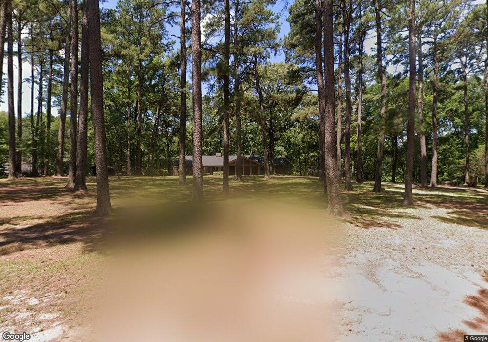
14 High Point Dr Texarkana, TX 75503
Estimated Value: $388,247 - $578,000
3
Beds
4
Baths
3,280
Sq Ft
$156/Sq Ft
Est. Value
About This Home
This home is located at 14 High Point Dr, Texarkana, TX 75503 and is currently estimated at $513,062, approximately $156 per square foot. 14 High Point Dr is a home located in Bowie County with nearby schools including Margaret Fischer Davis Elementary School, Pleasant Grove Intermediate School, and Pleasant Grove Middle School.
Ownership History
Date
Name
Owned For
Owner Type
Purchase Details
Closed on
Apr 20, 2018
Sold by
Douglas Donald S and Douglas Lori
Bought by
Meador Gerry C and Meador Holland
Current Estimated Value
Home Financials for this Owner
Home Financials are based on the most recent Mortgage that was taken out on this home.
Original Mortgage
$206,500
Outstanding Balance
$177,669
Interest Rate
4.46%
Mortgage Type
New Conventional
Estimated Equity
$335,393
Purchase Details
Closed on
Apr 4, 2012
Sold by
Albright Amanda Morse and Albright Channell W
Bought by
Douglas Donald S
Home Financials for this Owner
Home Financials are based on the most recent Mortgage that was taken out on this home.
Original Mortgage
$274,500
Interest Rate
3.92%
Mortgage Type
Future Advance Clause Open End Mortgage
Create a Home Valuation Report for This Property
The Home Valuation Report is an in-depth analysis detailing your home's value as well as a comparison with similar homes in the area
Purchase History
| Date | Buyer | Sale Price | Title Company |
|---|---|---|---|
| Meador Gerry C | -- | Twin City Title | |
| Douglas Donald S | -- | Twin City Title |
Source: Public Records
Mortgage History
| Date | Status | Borrower | Loan Amount |
|---|---|---|---|
| Open | Meador Gerry C | $206,500 | |
| Previous Owner | Douglas Donald S | $274,500 |
Source: Public Records
Tax History
| Year | Tax Paid | Tax Assessment Tax Assessment Total Assessment is a certain percentage of the fair market value that is determined by local assessors to be the total taxable value of land and additions on the property. | Land | Improvement |
|---|---|---|---|---|
| 2025 | $7,400 | $377,244 | $45,900 | $331,344 |
| 2024 | $7,400 | $394,597 | $45,900 | $348,697 |
| 2023 | $6,860 | $366,276 | $0 | $0 |
| 2022 | $8,176 | $351,194 | $45,900 | $305,294 |
| 2021 | $7,916 | $302,707 | $45,900 | $256,807 |
| 2020 | $7,755 | $294,993 | $35,000 | $259,993 |
| 2019 | $7,928 | $293,894 | $35,000 | $258,894 |
| 2018 | $7,884 | $293,894 | $35,000 | $258,894 |
| 2017 | $8,587 | $321,020 | $35,000 | $286,020 |
| 2016 | $8,236 | $307,868 | $35,000 | $272,868 |
| 2015 | $8,557 | $305,284 | $35,000 | $270,284 |
| 2014 | $8,557 | $318,312 | $35,000 | $283,312 |
Source: Public Records
Map
Nearby Homes
- 6 High Point Dr
- 7202 Shilling Cir
- 23 Holly Ridge Dr
- 3811 Hunters Ridge
- 3810 Hunters Ridge
- Lot 8 Sterling Rd
- Lot 9 Sterling Rd
- Lot 13 Sterling Rd
- Lot 11 Sterling Rd
- Lot 2 Sterling Rd
- Lot 4 Sterling Rd
- Lot 6 Sterling Rd
- Lot 12 Sterling Rd
- Lot 10 Sterling Rd
- Lot 1 Sterling Rd
- Lot 5 Sterling Rd
- Lot 3 Sterling Rd
- 16 Dogwood Place
- 11 Dogwood Place
- 7 Brittan Place
- 26 High Point Dr
- 18 High Point Dr
- 22 High Point Dr
- 5 Chartwell
- 30 High Point Dr
- 2 High Point Dr
- 4 Chartwell
- 3205 Shilling Rd
- 5 Knotty Pine St
- 5 Knotty Pine Place
- 3 Knotty Pine St
- 7 Knotty Pine St
- 7 Knotty Pine Place
- 3115 Shilling Rd
- 2 Chartwell
- 24 High Point Dr
- 1 Knotty Pine St
- 3001 Shilling Rd
- 3109 Shilling Rd
- 1 Chartwell
Your Personal Tour Guide
Ask me questions while you tour the home.