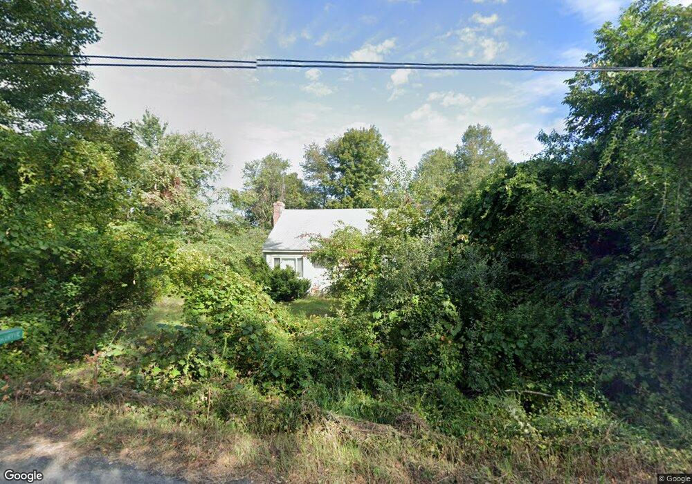
14 Hulst Rd Amherst, MA 01002
Estimated Value: $440,000 - $620,000
4
Beds
1
Bath
1,524
Sq Ft
$335/Sq Ft
Est. Value
About This Home
This home is located at 14 Hulst Rd, Amherst, MA 01002 and is currently estimated at $510,298, approximately $334 per square foot. 14 Hulst Rd is a home located in Hampshire County with nearby schools including Crocker Farm Elementary School, Amherst Regional Middle School, and Amherst Regional High School.
Ownership History
Date
Name
Owned For
Owner Type
Purchase Details
Closed on
Jan 4, 2005
Sold by
Moores Shirley J
Bought by
Moores Jean T
Current Estimated Value
Create a Home Valuation Report for This Property
The Home Valuation Report is an in-depth analysis detailing your home's value as well as a comparison with similar homes in the area
Home Values in the Area
Average Home Value in this Area
Purchase History
We collect this data history from publicly available records. To have your information removed, we recommend requesting removal directly through your county’s website.
| Date | Buyer | Sale Price | Title Company |
|---|---|---|---|
| Moores Jean T | -- | -- |
Source: Public Records
Mortgage History
We collect this data history from publicly available records. To have your information removed, we recommend requesting removal directly through your county’s website.
| Date | Status | Borrower | Loan Amount |
|---|---|---|---|
| Open | Moores Jean T | $30,000 |
Source: Public Records
Tax History
| Year | Tax Paid | Tax Assessment Tax Assessment Total Assessment is a certain percentage of the fair market value that is determined by local assessors to be the total taxable value of land and additions on the property. | Land | Improvement |
|---|---|---|---|---|
| 2025 | $70 | $390,500 | $194,500 | $196,000 |
| 2024 | $6,828 | $368,900 | $183,600 | $185,300 |
| 2023 | $6,557 | $326,200 | $166,800 | $159,400 |
| 2022 | $6,332 | $297,700 | $151,700 | $146,000 |
| 2021 | $6,016 | $275,700 | $140,500 | $135,200 |
| 2020 | $5,878 | $275,700 | $140,500 | $135,200 |
| 2019 | $5,746 | $263,600 | $140,500 | $123,100 |
| 2018 | $5,573 | $263,600 | $140,500 | $123,100 |
| 2017 | $5,311 | $243,300 | $133,700 | $109,600 |
| 2016 | $5,163 | $243,300 | $133,700 | $109,600 |
| 2015 | $4,997 | $243,300 | $133,700 | $109,600 |
Source: Public Records
Map
Nearby Homes
- 82 Stagecoach Rd
- 1185 Bay Rd
- 1360 Bay Rd
- 55 Mechanic St
- 560 Middle St
- 365 Middle St
- 20 Station Rd
- Lots A-C Federal St
- 100 Larkspur Dr
- 0 Federal St
- 130 Linden Ridge Rd
- 390 Shays St
- 89 Potwine Ln
- 6 Eveningstar Dr
- 1270 West St
- 140 Amherst Rd
- 24 Mcintosh Dr
- 113 Batchelor St
- 178 W Pomeroy Ln
- 170 E Hadley Rd Unit 52
Your Personal Tour Guide
Ask me questions while you tour the home.