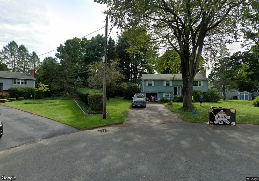
14 Jeffrey Rd Canton, MA 02021
Estimated Value: $682,000 - $840,000
3
Beds
2
Baths
1,184
Sq Ft
$632/Sq Ft
Est. Value
About This Home
This home is located at 14 Jeffrey Rd, Canton, MA 02021 and is currently estimated at $747,905, approximately $631 per square foot. 14 Jeffrey Rd is a home located in Norfolk County with nearby schools including Canton High School and St. John the Evangelist School.
Ownership History
Date
Name
Owned For
Owner Type
Purchase Details
Closed on
Jul 31, 2008
Sold by
Huether Ft
Bought by
Doherty David J and Zaferacopoulos Nuala A
Current Estimated Value
Home Financials for this Owner
Home Financials are based on the most recent Mortgage that was taken out on this home.
Original Mortgage
$275,200
Outstanding Balance
$181,858
Interest Rate
6.47%
Mortgage Type
Purchase Money Mortgage
Estimated Equity
$566,047
Create a Home Valuation Report for This Property
The Home Valuation Report is an in-depth analysis detailing your home's value as well as a comparison with similar homes in the area
Home Values in the Area
Average Home Value in this Area
Purchase History
| Date | Buyer | Sale Price | Title Company |
|---|---|---|---|
| Doherty David J | $344,000 | -- |
Source: Public Records
Mortgage History
| Date | Status | Borrower | Loan Amount |
|---|---|---|---|
| Open | Doherty David J | $275,200 |
Source: Public Records
Tax History
| Year | Tax Paid | Tax Assessment Tax Assessment Total Assessment is a certain percentage of the fair market value that is determined by local assessors to be the total taxable value of land and additions on the property. | Land | Improvement |
|---|---|---|---|---|
| 2025 | $5,702 | $576,500 | $333,000 | $243,500 |
| 2024 | $5,818 | $583,600 | $349,300 | $234,300 |
| 2023 | $5,863 | $554,700 | $349,300 | $205,400 |
| 2022 | $5,650 | $497,800 | $332,700 | $165,100 |
| 2021 | $5,228 | $428,500 | $277,200 | $151,300 |
| 2020 | $5,019 | $410,400 | $264,000 | $146,400 |
| 2019 | $4,693 | $378,500 | $240,000 | $138,500 |
| 2018 | $4,571 | $368,000 | $230,700 | $137,300 |
| 2017 | $4,616 | $360,900 | $226,200 | $134,700 |
| 2016 | $4,530 | $354,200 | $220,700 | $133,500 |
| 2015 | $4,395 | $342,800 | $214,300 | $128,500 |
Source: Public Records
Map
Nearby Homes
- 859 Pleasant St
- 23 Pine St Unit K
- 19 Pine St Unit K
- 60 Coppersmith Way Unit 304
- 611 Pleasant St
- 49 Will Dr Unit 116
- 37 Will Dr Unit 12
- 53 Will Dr Unit 143
- 42 Will Dr Unit 49
- 27 Rosewood Dr
- 55 Rosewood Dr
- 468 Island St Unit 468
- 64 Laurelwood Dr
- 5 Trudy Terrace
- 4 Forge Pond Unit D
- 24 Forge Pond Unit H
- 20 Audubon Way Unit 205
- 20 Audubon Way Unit 401
- 20 Audubon Way Unit 105
- 20 Audubon Way Unit 108
- 12 Jeffrey Rd
- 17 Jeffrey Rd
- 866 Pleasant St
- 858 Pleasant St
- 854 Pleasant St
- 860 Pleasant St
- 10 Jeffrey Rd
- 15 Jeffrey Rd
- 6 Lincolnshire Dr
- 8 Lincolnshire Dr
- 4 Lincolnshire Dr
- 862 Pleasant St
- 11 Jeffrey Rd
- 8 Jeffrey Rd
- 855 Pleasant St
- 857 Pleasant St
- 10 Lincolnshire Dr
- 868 Pleasant St
- 780 Pleasant St
- 851 Pleasant St
Your Personal Tour Guide
Ask me questions while you tour the home.