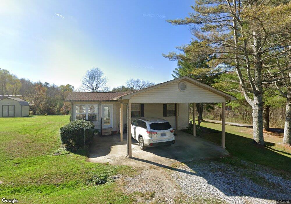
14 Johnson Ln Palmer, TN 37365
Estimated Value: $106,233 - $177,000
Studio
2
Baths
1,430
Sq Ft
$101/Sq Ft
Est. Value
About This Home
This home is located at 14 Johnson Ln, Palmer, TN 37365 and is currently estimated at $144,808, approximately $101 per square foot. 14 Johnson Ln is a home located in Grundy County.
Ownership History
Date
Name
Owned For
Owner Type
Purchase Details
Closed on
Aug 18, 1978
Bought by
Johnson Robert A and Johnson Ruby
Current Estimated Value
Purchase Details
Closed on
May 26, 1965
Create a Home Valuation Report for This Property
The Home Valuation Report is an in-depth analysis detailing your home's value as well as a comparison with similar homes in the area
Purchase History
We collect this data history from publicly available records. To have your information removed, we recommend requesting removal directly through your county’s website.
| Date | Buyer | Sale Price | Title Company |
|---|---|---|---|
| Johnson Robert A | -- | -- | |
| -- | -- | -- |
Source: Public Records
Tax History
| Year | Tax Paid | Tax Assessment Tax Assessment Total Assessment is a certain percentage of the fair market value that is determined by local assessors to be the total taxable value of land and additions on the property. | Land | Improvement |
|---|---|---|---|---|
| 2025 | $463 | $32,475 | $1,300 | $31,175 |
| 2024 | $463 | $32,475 | $1,300 | $31,175 |
| 2023 | $463 | $32,475 | $1,300 | $31,175 |
| 2022 | $425 | $19,200 | $850 | $18,350 |
| 2021 | $425 | $19,200 | $850 | $18,350 |
| 2020 | $425 | $19,200 | $850 | $18,350 |
| 2019 | $378 | $15,700 | $900 | $14,800 |
| 2018 | $378 | $14,875 | $900 | $13,975 |
| 2017 | $378 | $14,875 | $900 | $13,975 |
| 2016 | $378 | $14,900 | $900 | $14,000 |
| 2015 | $378 | $14,900 | $900 | $14,000 |
| 2014 | $378 | $14,909 | $0 | $0 |
Source: Public Records
Map
Nearby Homes
- 0 Main St Unit RTC2796154
- 385 Chiggertown Loop
- 14 Sawmill Rd
- Tract 14 Sawmill Rd
- 1077 Rock Ave
- Tract 14 Sawmill Rd
- 1970 Rock Ave
- 253 Daus Mountain Rd
- 4.71AC Daus Mountain Rd
- 573AC Daus Mountain Rd
- 1555 Palmer Firetower Rd
- 1235 Tatesville Rd
- Daus Mountain Road; Lot Unit WP001
- 34 Sr 399
- 36 Tennessee 399
- 573.83AC Daus Mountain Rd
- 115 66th Ave
- 2739 Tennessee 399
- 0 Palmer Firetower Rd Unit 26740132
- 31759 State Route 108
- 312 Ducktown Cir
- 262 Ducktown Cir
- 50 Johnson Ln
- 348 Ducktown Cir
- 170 Ducktown Cir
- 55 Johnson Ln
- 398 Ducktown Cir
- 460 Ducktown Cir
- 173 Ducktown Cir
- 0 Ducktown Cir
- 171 Ducktown Cir
- 1000 Ducktown St
- 412 Ducktown Cir
- 43 Nunley St
- 121 Burnt Orchard Rd
- 301 Big Mine Rd
- 266 Big Mine Rd
- 117 Ducktown Cir
- 157 Burnt Orchard Rd
- 430 Ducktown Cir
Your Personal Tour Guide
Ask me questions while you tour the home.