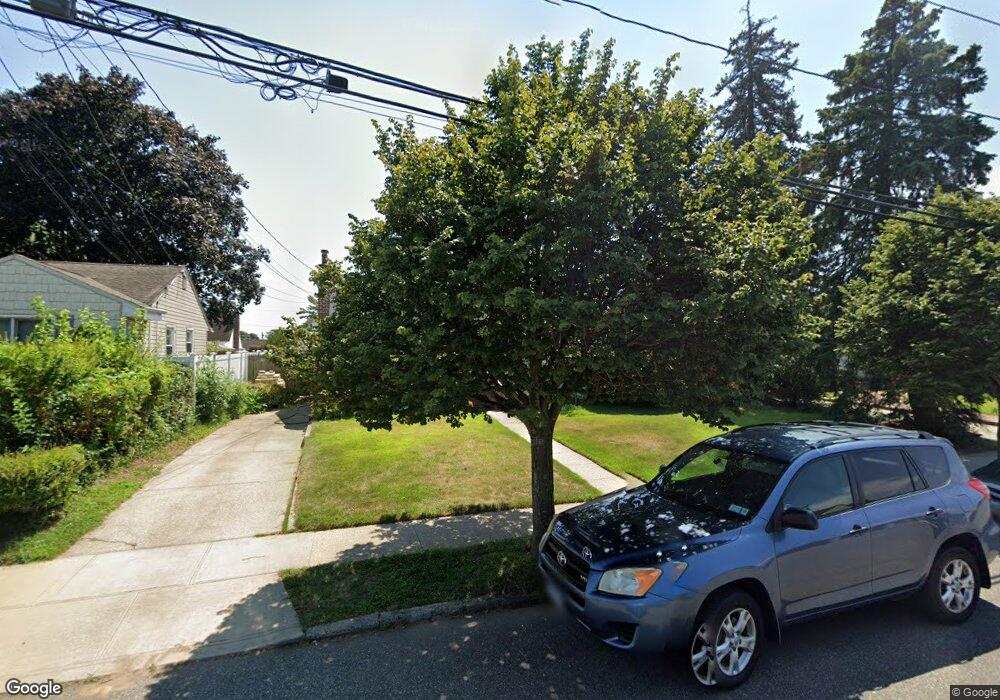
14 Joseph Ave Bethpage, NY 11714
Estimated Value: $574,384 - $639,000
Studio
1
Bath
1,079
Sq Ft
$562/Sq Ft
Est. Value
About This Home
This home is located at 14 Joseph Ave, Bethpage, NY 11714 and is currently estimated at $606,692, approximately $562 per square foot. 14 Joseph Ave is a home located in Nassau County with nearby schools including John H. West Elementary School, Plainedge Middle School, and Plainedge Senior High School.
Ownership History
Date
Name
Owned For
Owner Type
Purchase Details
Closed on
Sep 19, 2014
Sold by
Nantsis Lisa
Bought by
Nantis Christos and Revocabl Lisa Nantis
Current Estimated Value
Purchase Details
Closed on
May 18, 1999
Sold by
Halper Maxine
Bought by
Nantsis Lisa
Home Financials for this Owner
Home Financials are based on the most recent Mortgage that was taken out on this home.
Original Mortgage
$166,300
Interest Rate
6.82%
Create a Home Valuation Report for This Property
The Home Valuation Report is an in-depth analysis detailing your home's value as well as a comparison with similar homes in the area
Home Values in the Area
Average Home Value in this Area
Purchase History
| Date | Buyer | Sale Price | Title Company |
|---|---|---|---|
| Nantis Christos | -- | First American Title | |
| Nantsis Lisa | $184,800 | Commonwealth Land Title Ins |
Source: Public Records
Mortgage History
| Date | Status | Borrower | Loan Amount |
|---|---|---|---|
| Previous Owner | Nantsis Lisa | $166,300 |
Source: Public Records
Tax History
| Year | Tax Paid | Tax Assessment Tax Assessment Total Assessment is a certain percentage of the fair market value that is determined by local assessors to be the total taxable value of land and additions on the property. | Land | Improvement |
|---|---|---|---|---|
| 2025 | $11,305 | $383 | $246 | $137 |
| 2024 | $4,074 | $411 | $264 | $147 |
Source: Public Records
Map
Nearby Homes
- 57 Roosevelt Dr
- 4030 Avoca Ave
- 35 Whaley Ave
- 38 Bradford Ln
- 120 Brenner Ave
- 5 Scherer St
- 17 Wilson Ln
- 14 Hoover Ln
- 15 Scherer St
- 3 Berryhill Ln
- 107 Cardinal Rd
- 11 Berryhill Ln
- 12 E Millpage Dr
- 47 Cardinal Rd
- 116 Stewart Ave Unit B
- 3683 Hawk Rd
- 22 Mercury Ln
- 130 Balsam Ln
- 43 Farmedge Rd
- 122 Balsam Ln
Your Personal Tour Guide
Ask me questions while you tour the home.