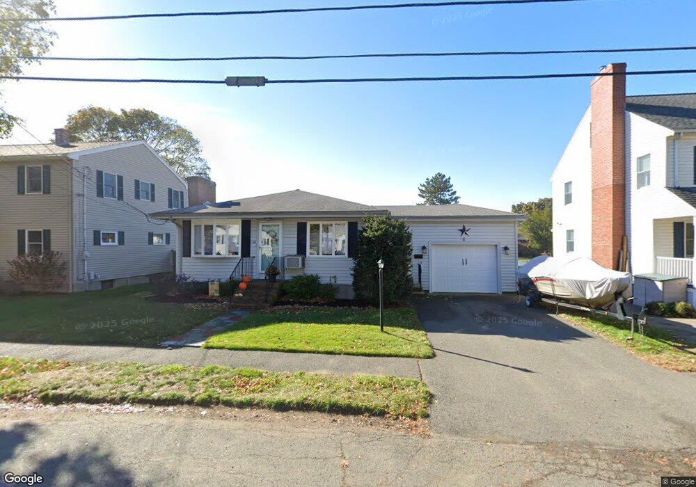
14 Joy Rd Peabody, MA 01960
South Peabody NeighborhoodEstimated Value: $612,011 - $652,000
3
Beds
1
Bath
1,144
Sq Ft
$552/Sq Ft
Est. Value
About This Home
This home is located at 14 Joy Rd, Peabody, MA 01960 and is currently estimated at $631,503, approximately $552 per square foot. 14 Joy Rd is a home located in Essex County with nearby schools including Peabody Veterans Memorial High School, St John The Baptist School, and The Phoenix School.
Ownership History
Date
Name
Owned For
Owner Type
Purchase Details
Closed on
Sep 30, 2014
Sold by
Danish Robert T and Danish David M
Bought by
Carter Jason A and Carter Emily L
Current Estimated Value
Home Financials for this Owner
Home Financials are based on the most recent Mortgage that was taken out on this home.
Original Mortgage
$307,800
Outstanding Balance
$236,147
Interest Rate
4.12%
Mortgage Type
New Conventional
Estimated Equity
$395,356
Create a Home Valuation Report for This Property
The Home Valuation Report is an in-depth analysis detailing your home's value as well as a comparison with similar homes in the area
Home Values in the Area
Average Home Value in this Area
Purchase History
| Date | Buyer | Sale Price | Title Company |
|---|---|---|---|
| Carter Jason A | $324,000 | -- |
Source: Public Records
Mortgage History
| Date | Status | Borrower | Loan Amount |
|---|---|---|---|
| Open | Carter Jason A | $307,800 |
Source: Public Records
Tax History
| Year | Tax Paid | Tax Assessment Tax Assessment Total Assessment is a certain percentage of the fair market value that is determined by local assessors to be the total taxable value of land and additions on the property. | Land | Improvement |
|---|---|---|---|---|
| 2025 | $5,022 | $542,300 | $243,900 | $298,400 |
| 2024 | $4,739 | $519,600 | $243,900 | $275,700 |
| 2023 | $4,548 | $477,700 | $217,800 | $259,900 |
| 2022 | $4,445 | $440,100 | $194,500 | $245,600 |
| 2021 | $4,255 | $405,600 | $176,800 | $228,800 |
| 2020 | $4,078 | $379,700 | $176,800 | $202,900 |
| 2019 | $3,943 | $358,100 | $176,800 | $181,300 |
| 2018 | $3,790 | $330,700 | $160,700 | $170,000 |
| 2017 | $3,675 | $312,500 | $160,700 | $151,800 |
| 2016 | $3,475 | $291,500 | $160,700 | $130,800 |
| 2015 | $3,466 | $281,800 | $156,700 | $125,100 |
Source: Public Records
Map
Nearby Homes
- 6 Allen Rd
- 15 Swampscott Ave
- 26 Bartholomew Terrace
- 111 Foster St Unit 416
- 111 Foster St Unit 305
- 16 Sunset Dr
- 98 Foster St
- 12 Tara Rd
- 176 Marlborough Rd
- 22 Strongwater Dr
- 18 Strongwater Dr
- 80 Foster St Unit 501
- 11 Strongwater Dr
- 11 Osborne Hill Dr
- 64 Foster St Unit 105
- 6 Rear Perkins St
- 38-1/2 Ellsworth Rd
- 21 Forest St
- 2 Osborne St
- 2 Summit Terrace
Your Personal Tour Guide
Ask me questions while you tour the home.