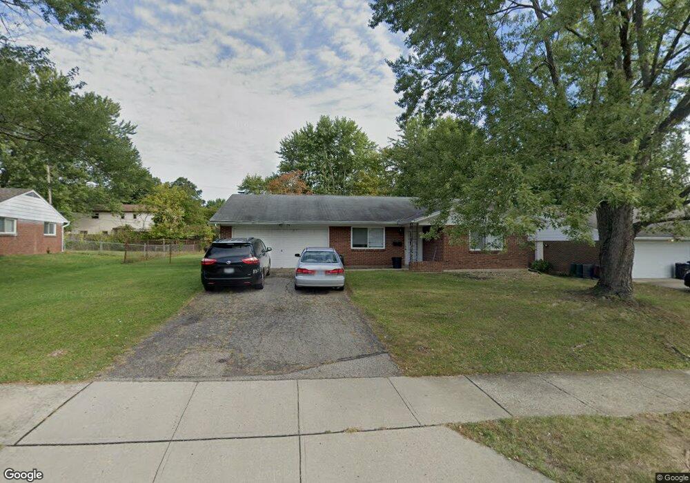
14 Kanpur Place Westerville, OH 43081
Estimated Value: $360,038 - $394,000
3
Beds
2
Baths
1,475
Sq Ft
$257/Sq Ft
Est. Value
About This Home
This home is located at 14 Kanpur Place, Westerville, OH 43081 and is currently estimated at $379,260, approximately $257 per square foot. 14 Kanpur Place is a home located in Franklin County with nearby schools including Pointview Elementary School, Genoa Middle School, and Westerville-North High School.
Ownership History
Date
Name
Owned For
Owner Type
Purchase Details
Closed on
Oct 15, 2024
Sold by
Nrea Vb V Llc
Bought by
Vb Eleven Llc
Current Estimated Value
Purchase Details
Closed on
Jan 30, 2019
Bought by
Nrea Vb V Llc
Purchase Details
Closed on
Sep 8, 2014
Sold by
Huber Transaction Sub Llc
Bought by
Hhr Borrower 2 Llc
Home Financials for this Owner
Home Financials are based on the most recent Mortgage that was taken out on this home.
Original Mortgage
$20,000,000
Interest Rate
4.15%
Mortgage Type
Future Advance Clause Open End Mortgage
Purchase Details
Closed on
Jul 23, 1974
Bought by
Huber Properties Inc
Create a Home Valuation Report for This Property
The Home Valuation Report is an in-depth analysis detailing your home's value as well as a comparison with similar homes in the area
Home Values in the Area
Average Home Value in this Area
Purchase History
| Date | Buyer | Sale Price | Title Company |
|---|---|---|---|
| Vb Eleven Llc | $15,577,000 | Os National | |
| Vb Eleven Llc | $15,577,000 | Os National | |
| Nrea Vb V Llc | -- | -- | |
| Hhr Borrower 2 Llc | -- | None Available | |
| Huber Properties Inc | -- | -- |
Source: Public Records
Mortgage History
| Date | Status | Borrower | Loan Amount |
|---|---|---|---|
| Previous Owner | Hhr Borrower 2 Llc | $20,000,000 |
Source: Public Records
Tax History Compared to Growth
Tax History
| Year | Tax Paid | Tax Assessment Tax Assessment Total Assessment is a certain percentage of the fair market value that is determined by local assessors to be the total taxable value of land and additions on the property. | Land | Improvement |
|---|---|---|---|---|
| 2024 | $5,517 | $94,820 | $32,130 | $62,690 |
| 2023 | $5,403 | $94,815 | $32,130 | $62,685 |
| 2022 | $4,889 | $65,520 | $22,890 | $42,630 |
| 2021 | $4,930 | $65,520 | $22,890 | $42,630 |
| 2020 | $4,916 | $65,520 | $22,890 | $42,630 |
| 2019 | $4,350 | $54,610 | $19,080 | $35,530 |
| 2018 | $3,991 | $54,610 | $19,080 | $35,530 |
| 2017 | $4,617 | $58,880 | $19,080 | $39,800 |
| 2016 | $3,831 | $44,460 | $16,000 | $28,460 |
| 2015 | $3,713 | $44,460 | $16,000 | $28,460 |
| 2014 | $3,716 | $44,460 | $16,000 | $28,460 |
| 2013 | $1,943 | $46,550 | $15,225 | $31,325 |
Source: Public Records
Map
Nearby Homes
- 1003 Autumn Meadows Dr
- 613 Valley Wood Ct
- 994 Autumn Lake Ct
- 737 Autumn Branch Rd
- 800 S Spring Rd
- 750 Autumn Branch Rd
- 640 Brook Run Dr
- 539 Cherrington Rd
- 1146 Forest Rise Dr
- 969 Farrington Dr
- 1209 Chatham Ridge Rd
- 371 Delaware Dr
- 693 Pointview Dr
- 326 Peachtree Ct Unit 326D
- 1368 Nutmeg Ct
- 6874 Flatlands Rd
- 1015 Swanton Ct
- 1019 Swanton Ct
- 0 Cherrington Rd Unit 225023909
- 1017 Newfields Ln
- 22 Kanpur Place
- 635 Lexington Ct
- 647 Lexington Ct
- 629 Lexington Ct
- 15 Kanpur Place
- 9 Kanpur Place
- 659 Lexington Ct
- 30 Kanpur Place
- 37 Kanpur Place
- 623 Lexington Ct
- 632 Liberty Ln
- 38 Kanpur Place
- 636 Lexington Ct
- 644 Lexington Ct
- 22 Kalu Place
- 640 Liberty Ln
- 628 Liberty Ln
- 16 Kalu Place
- 621 Lexington Ct
- 652 Lexington Ct