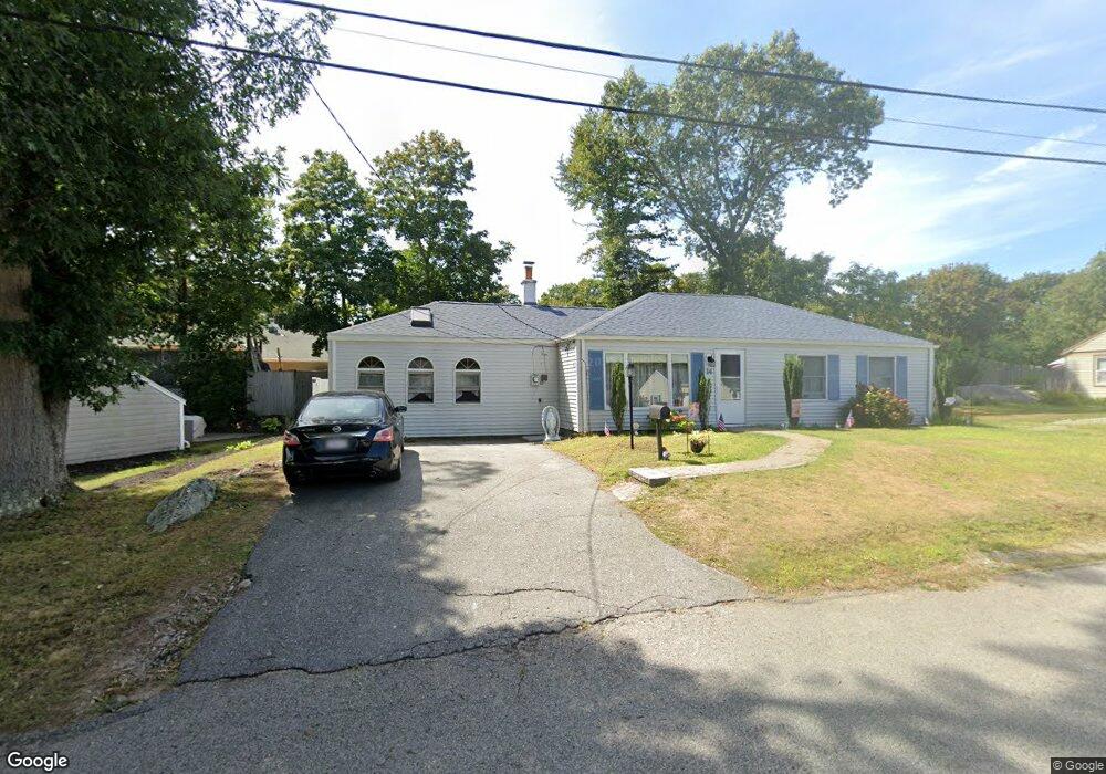
14 Karen Ln Weymouth, MA 02188
East Weymouth NeighborhoodEstimated Value: $561,348 - $705,000
3
Beds
1
Bath
1,476
Sq Ft
$427/Sq Ft
Est. Value
About This Home
This home is located at 14 Karen Ln, Weymouth, MA 02188 and is currently estimated at $629,587, approximately $426 per square foot. 14 Karen Ln is a home located in Norfolk County with nearby schools including Academy Avenue Elementary School, Abigail Adams Middle School, and Weymouth Middle School Chapman.
Ownership History
Date
Name
Owned For
Owner Type
Purchase Details
Closed on
Sep 30, 1997
Sold by
Abbott Jean D
Bought by
Collins Bernard T and Collins Donna M
Current Estimated Value
Home Financials for this Owner
Home Financials are based on the most recent Mortgage that was taken out on this home.
Original Mortgage
$130,000
Interest Rate
7.47%
Mortgage Type
Purchase Money Mortgage
Create a Home Valuation Report for This Property
The Home Valuation Report is an in-depth analysis detailing your home's value as well as a comparison with similar homes in the area
Home Values in the Area
Average Home Value in this Area
Purchase History
| Date | Buyer | Sale Price | Title Company |
|---|---|---|---|
| Collins Bernard T | $136,900 | -- |
Source: Public Records
Mortgage History
| Date | Status | Borrower | Loan Amount |
|---|---|---|---|
| Open | Collins Bernard T | $180,000 | |
| Closed | Collins Bernard T | $48,000 | |
| Closed | Collins Bernard T | $130,000 | |
| Previous Owner | Collins Bernard T | $33,000 |
Source: Public Records
Tax History Compared to Growth
Tax History
| Year | Tax Paid | Tax Assessment Tax Assessment Total Assessment is a certain percentage of the fair market value that is determined by local assessors to be the total taxable value of land and additions on the property. | Land | Improvement |
|---|---|---|---|---|
| 2025 | $4,916 | $486,700 | $220,500 | $266,200 |
| 2024 | $4,761 | $463,600 | $210,000 | $253,600 |
| 2023 | $4,567 | $437,000 | $194,500 | $242,500 |
| 2022 | $4,463 | $389,400 | $180,100 | $209,300 |
| 2021 | $4,138 | $352,500 | $180,100 | $172,400 |
| 2020 | $3,996 | $335,200 | $180,100 | $155,100 |
| 2019 | $3,832 | $316,200 | $173,100 | $143,100 |
| 2018 | $3,744 | $299,500 | $164,900 | $134,600 |
| 2017 | $3,678 | $287,100 | $157,100 | $130,000 |
| 2016 | $3,549 | $277,300 | $151,000 | $126,300 |
| 2015 | $3,342 | $259,100 | $144,200 | $114,900 |
| 2014 | $3,297 | $247,900 | $134,200 | $113,700 |
Source: Public Records
Map
Nearby Homes
- 367 Essex St
- 286 Essex St
- 12 Klasson Ln
- 286 Broad St
- 29-31 Broad Street Place
- 42 Sundin Rd
- 669 Commercial St
- 20 Richards Rd
- 303 Middle St
- 15 1st St
- 38 Idlewell St
- 19 Vine St Unit 3
- 19 Vine St Unit 1
- 114 Broad St Unit D
- 114 Broad St Unit C
- 575 Broad St Unit 305
- 575 Broad St Unit 215
- 294 Commercial St
- 70 Biscayne Ave
- 449 Middle St
- 45 Priscilla Cir
- 4 Karen Ln
- 20 Karen Ln
- 29 Priscilla Cir
- 9 Karen Ln
- 15 Karen Ln
- 13 Priscilla Cir
- 55 Priscilla Cir
- 21 Karen Ln
- 30 Karen Ln
- 48 Priscilla Cir
- 32 Old Country Way
- 56 Priscilla Cir
- 42 Priscilla Cir
- 40 Old Country Way
- 22 Priscilla Cir
- 30 Priscilla Cir
- 16 Priscilla Cir
- 5 Priscilla Cir
- 29 Karen Ln