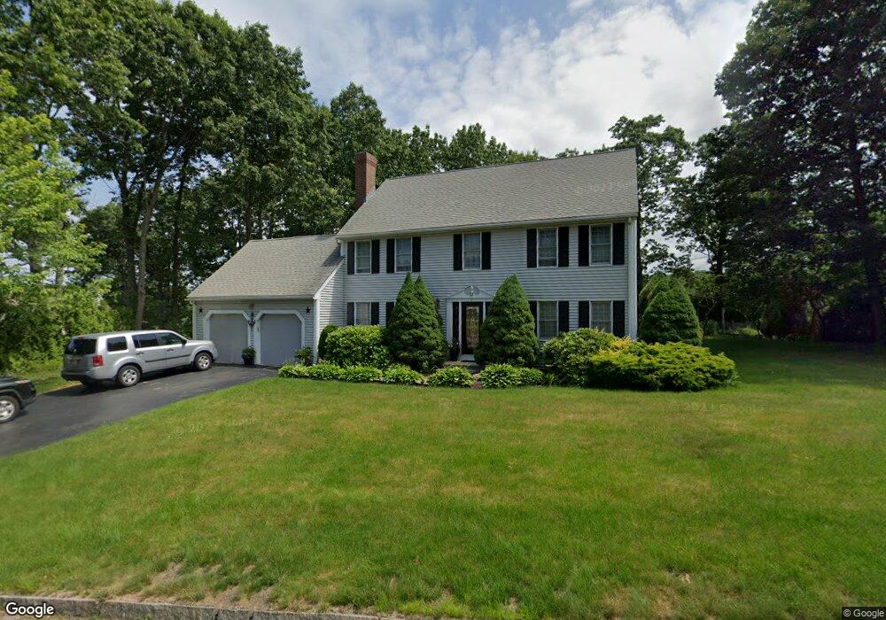
14 Keith David Dr Millbury, MA 01527
Estimated Value: $558,000 - $765,000
4
Beds
3
Baths
2,066
Sq Ft
$325/Sq Ft
Est. Value
About This Home
This home is located at 14 Keith David Dr, Millbury, MA 01527 and is currently estimated at $671,300, approximately $324 per square foot. 14 Keith David Dr is a home located in Worcester County with nearby schools including Elmwood Street Elementary School, Raymond E. Shaw Elementary School, and Millbury Junior/Senior High School.
Ownership History
Date
Name
Owned For
Owner Type
Purchase Details
Closed on
Sep 29, 1997
Sold by
Longwood Dev Corp
Bought by
Houssan Joseph and Houssan Rima
Current Estimated Value
Home Financials for this Owner
Home Financials are based on the most recent Mortgage that was taken out on this home.
Original Mortgage
$100,000
Interest Rate
7.47%
Mortgage Type
Purchase Money Mortgage
Create a Home Valuation Report for This Property
The Home Valuation Report is an in-depth analysis detailing your home's value as well as a comparison with similar homes in the area
Home Values in the Area
Average Home Value in this Area
Purchase History
| Date | Buyer | Sale Price | Title Company |
|---|---|---|---|
| Houssan Joseph | $195,720 | -- | |
| Houssan Joseph | $195,720 | -- |
Source: Public Records
Mortgage History
| Date | Status | Borrower | Loan Amount |
|---|---|---|---|
| Open | Houssan Joseph | $110,000 | |
| Closed | Houssan Joseph | $100,000 | |
| Closed | Houssan Joseph | $100,000 |
Source: Public Records
Tax History Compared to Growth
Tax History
| Year | Tax Paid | Tax Assessment Tax Assessment Total Assessment is a certain percentage of the fair market value that is determined by local assessors to be the total taxable value of land and additions on the property. | Land | Improvement |
|---|---|---|---|---|
| 2025 | $7,588 | $566,700 | $117,200 | $449,500 |
| 2024 | $6,966 | $526,500 | $108,500 | $418,000 |
| 2023 | $6,414 | $443,900 | $76,200 | $367,700 |
| 2022 | $5,780 | $385,300 | $76,200 | $309,100 |
| 2021 | $5,698 | $369,300 | $76,200 | $293,100 |
| 2020 | $0 | $364,000 | $76,200 | $287,800 |
| 2019 | $5,548 | $350,000 | $75,800 | $274,200 |
| 2018 | $0 | $336,700 | $75,800 | $260,900 |
| 2017 | $5,103 | $310,600 | $75,800 | $234,800 |
| 2016 | $5,190 | $315,300 | $75,800 | $239,500 |
| 2015 | $5,027 | $305,400 | $77,000 | $228,400 |
| 2014 | $4,706 | $275,200 | $80,500 | $194,700 |
Source: Public Records
Map
Nearby Homes
- 52 Clearview Terrace Unit 39
- 12 Alstead Path
- 14 Howe Ln
- 15 Clearview Terrace Unit 68
- 90 Park Hill Ave
- 1 Broadmeadow Ave
- 64 Millbury Ave
- 2 Diane St
- 7 Heather Ave
- 123 Riverlin St
- 330 Millbury Ave
- 457 Granite St
- 1295 Millbury St Unit B
- 54 Park Hill Rd
- 12 Irene Ct
- 497 Massasoit Rd
- 17 Atwood Ave
- 5- 33 Tainter Hill Rd Unit 33A
- 5- 33 Tainter Hill Rd
- 422 Granite St