14 King Philip St South Dartmouth, MA 02748
Cow Yard/Nonquitt NeighborhoodEstimated Value: $1,013,000 - $1,344,000
2
Beds
2
Baths
854
Sq Ft
$1,300/Sq Ft
Est. Value
About This Home
This home is located at 14 King Philip St, South Dartmouth, MA 02748 and is currently estimated at $1,110,047, approximately $1,299 per square foot. 14 King Philip St is a home located in Bristol County with nearby schools including Dartmouth High School.
Ownership History
Date
Name
Owned For
Owner Type
Purchase Details
Closed on
Dec 11, 2020
Sold by
Means Graeme D
Bought by
Means Graeme D and Means Gaelen D
Current Estimated Value
Purchase Details
Closed on
Nov 3, 2014
Sold by
Means Graeme D and Means Charles J
Bought by
Means Charles J and Means Victoria S
Create a Home Valuation Report for This Property
The Home Valuation Report is an in-depth analysis detailing your home's value as well as a comparison with similar homes in the area
Home Values in the Area
Average Home Value in this Area
Purchase History
| Date | Buyer | Sale Price | Title Company |
|---|---|---|---|
| Means Graeme D | -- | None Available | |
| Means Charles J | -- | -- | |
| Means Victoria S | $100,000 | -- |
Source: Public Records
Tax History Compared to Growth
Tax History
| Year | Tax Paid | Tax Assessment Tax Assessment Total Assessment is a certain percentage of the fair market value that is determined by local assessors to be the total taxable value of land and additions on the property. | Land | Improvement |
|---|---|---|---|---|
| 2025 | $7,116 | $826,500 | $680,800 | $145,700 |
| 2024 | $7,090 | $815,900 | $680,800 | $135,100 |
| 2023 | $7,372 | $803,900 | $680,800 | $123,100 |
| 2022 | $7,205 | $727,800 | $621,000 | $106,800 |
| 2021 | $7,292 | $703,900 | $617,400 | $86,500 |
| 2020 | $7,968 | $767,600 | $685,600 | $82,000 |
| 2019 | $7,993 | $768,600 | $685,600 | $83,000 |
| 2018 | $3,163 | $762,500 | $685,600 | $76,900 |
| 2017 | $7,248 | $723,400 | $647,200 | $76,200 |
| 2016 | $7,321 | $720,600 | $647,200 | $73,400 |
| 2015 | $6,601 | $651,000 | $576,700 | $74,300 |
| 2014 | $6,089 | $596,400 | $523,100 | $73,300 |
Source: Public Records
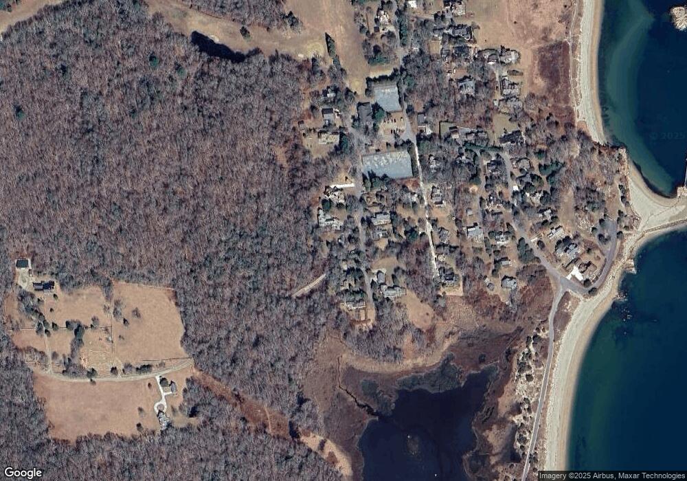
Map
Nearby Homes
- 48 N Shore Dr Unit 3&7
- 48 N Shore Dr Unit 8
- 24 Eagle Dr
- 482 Smith Neck Rd
- 738 Smith Neck Rd
- 62 Hetty Green St Unit 62
- 105 Rock Odundee Rd
- 12 Meadow Shores Rd
- 24 White Alder Way
- 158 Little River Rd
- 23 High St
- Lot 1 Rafael Rd
- 61 Pardon Hill Rd
- 40 School St
- 248 Bakerville Rd
- 0 Stoneledge Rd
- 00 Prospect St
- 76 Shipyard Ln
- 48 Wilson St
- 21 Avis St
- 12 King Philip St
- 16 King Philip St
- 13 King Philip St
- 10 King Philip St
- 7 King Philip St
- 11 King Philip St
- 17 King Philip St
- 11 King Philip St
- 15 King Philip St
- 2 Penikese Ln
- 5 King Phillip St
- 6 King Philip St
- 5 Penikese Ln
- 3 Penikese Ln
- 4 & 5 Penikese Ln
- 8 Penikese Ln
- 5 King Philip St
- 1 Penikese Ln
- 3 Mattakesett St
- 3 Mattakesett St Unit 1