Estimated Value: $923,000 - $959,000
4
Beds
3
Baths
2,750
Sq Ft
$343/Sq Ft
Est. Value
About This Home
This home is located at 14 Kinsley Rd, Acton, MA 01720 and is currently estimated at $943,256, approximately $343 per square foot. 14 Kinsley Rd is a home located in Middlesex County with nearby schools including Acton-Boxborough Regional High School.
Ownership History
Date
Name
Owned For
Owner Type
Purchase Details
Closed on
Jul 25, 2006
Sold by
Coffman Anna and Coffman Jerome D
Bought by
Simone Daniel J and Simone Sadie L
Current Estimated Value
Home Financials for this Owner
Home Financials are based on the most recent Mortgage that was taken out on this home.
Original Mortgage
$408,000
Outstanding Balance
$242,487
Interest Rate
6.67%
Mortgage Type
Purchase Money Mortgage
Estimated Equity
$700,769
Create a Home Valuation Report for This Property
The Home Valuation Report is an in-depth analysis detailing your home's value as well as a comparison with similar homes in the area
Home Values in the Area
Average Home Value in this Area
Purchase History
| Date | Buyer | Sale Price | Title Company |
|---|---|---|---|
| Simone Daniel J | $510,000 | -- |
Source: Public Records
Mortgage History
| Date | Status | Borrower | Loan Amount |
|---|---|---|---|
| Open | Simone Daniel J | $408,000 |
Source: Public Records
Tax History Compared to Growth
Tax History
| Year | Tax Paid | Tax Assessment Tax Assessment Total Assessment is a certain percentage of the fair market value that is determined by local assessors to be the total taxable value of land and additions on the property. | Land | Improvement |
|---|---|---|---|---|
| 2025 | $13,415 | $782,200 | $340,000 | $442,200 |
| 2024 | $12,943 | $776,400 | $340,000 | $436,400 |
| 2023 | $11,735 | $668,300 | $309,100 | $359,200 |
| 2022 | $10,876 | $559,200 | $268,600 | $290,600 |
| 2021 | $10,083 | $498,400 | $248,900 | $249,500 |
| 2020 | $9,816 | $510,200 | $248,900 | $261,300 |
| 2019 | $9,929 | $512,600 | $248,900 | $263,700 |
| 2018 | $9,452 | $487,700 | $248,900 | $238,800 |
| 2017 | $9,137 | $479,400 | $248,900 | $230,500 |
| 2016 | $8,878 | $461,700 | $248,900 | $212,800 |
| 2015 | $8,773 | $460,500 | $248,900 | $211,600 |
| 2014 | $9,212 | $473,600 | $248,900 | $224,700 |
Source: Public Records
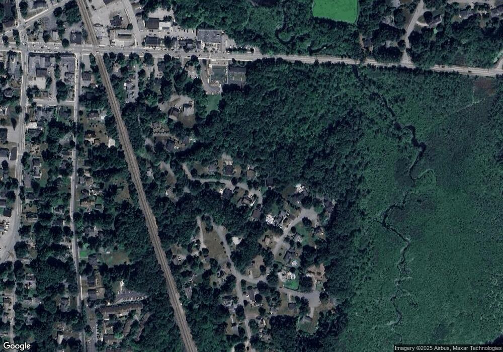
Map
Nearby Homes
- 285 Central St Unit 285
- 89 Windsor Ave
- 4,7,8 Crestwood Ln
- 92 Willow St Unit 3
- 92 Willow St Unit 2
- 90 Willow St Unit 1
- 9 Elm St Unit 1
- 5 Elm St Unit 1
- 31 Mohawk Dr
- 169 Main St
- 68 Macintosh Ln
- 3 Heather Hill Rd
- 19 Railroad St Unit C2
- 134 Russet Ln
- 12 Olde Lantern Rd
- 131 Main St
- 129 Main St Unit 129
- 129 Main St
- 4 Huron Rd
- 86 School St