Estimated Value: $216,032 - $729,000
Studio
--
Bath
2,366
Sq Ft
$238/Sq Ft
Est. Value
About This Home
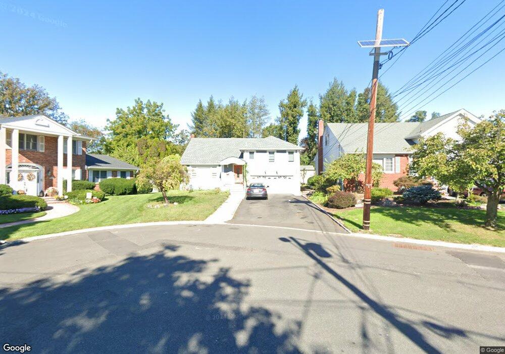
This home is located at 14 Lancaster Rd, Union, NJ 07083 and is currently estimated at $564,258, approximately $238 per square foot. 14 Lancaster Rd is a home located in Union County with nearby schools including Livingston Elementary School, Union High School, and Kindercare Learning Center.
Ownership History
Date
Name
Owned For
Owner Type
Purchase Details
Closed on
Apr 9, 2019
Sold by
Vieira Ana and Ditech Financial Llc
Bought by
Gerge Abou Rajili Ira and Eauity Trust Company
Current Estimated Value
Purchase Details
Closed on
Apr 25, 2013
Sold by
Vieira Ana
Bought by
Vieira Ana and Vieira Maria G
Purchase Details
Closed on
Dec 18, 2006
Sold by
Vieira Manuel
Bought by
Vieira Ana
Purchase Details
Closed on
Oct 25, 2006
Sold by
Vieira Manuel
Bought by
Vieira Manuel and Vieira Maria G
Create a Home Valuation Report for This Property
The Home Valuation Report is an in-depth analysis detailing your home's value as well as a comparison with similar homes in the area
Home Values in the Area
Average Home Value in this Area
Purchase History
| Date | Buyer | Sale Price | Title Company |
|---|---|---|---|
| Gerge Abou Rajili Ira | $322,000 | Regal Title Ins Agcy Inc | |
| Vieira Ana | -- | Prime Time Title Agency Llc | |
| Vieira Ana | -- | -- | |
| Vieira Manuel | -- | -- |
Source: Public Records
Tax History
| Year | Tax Paid | Tax Assessment Tax Assessment Total Assessment is a certain percentage of the fair market value that is determined by local assessors to be the total taxable value of land and additions on the property. | Land | Improvement |
|---|---|---|---|---|
| 2025 | $14,148 | $63,300 | $21,000 | $42,300 |
| 2024 | $13,716 | $63,300 | $21,000 | $42,300 |
| 2023 | $13,716 | $63,300 | $21,000 | $42,300 |
| 2022 | $13,240 | $63,300 | $21,000 | $42,300 |
| 2021 | $12,919 | $63,300 | $21,000 | $42,300 |
| 2020 | $12,661 | $63,300 | $21,000 | $42,300 |
| 2019 | $12,491 | $63,300 | $21,000 | $42,300 |
| 2018 | $12,278 | $63,300 | $21,000 | $42,300 |
| 2017 | $12,097 | $63,300 | $21,000 | $42,300 |
| 2016 | $11,802 | $63,300 | $21,000 | $42,300 |
| 2015 | $11,606 | $63,300 | $21,000 | $42,300 |
| 2014 | $11,346 | $63,300 | $21,000 | $42,300 |
Source: Public Records
Map
Nearby Homes
- 1272 Robinson Terrace
- 545 Homer Terrace
- 578 Winchester Ave
- 321 Sherwood Rd
- 381 Dogwood Dr
- 385 Colonial Ave
- 569 Scotland Rd
- 401 Burroughs Terrace
- 587 Thoreau Terrace
- 362 Crawford Terrace
- 875 Salem Rd
- 950 Carteret Ave
- 1453 Morris Ave
- 318 Delaware Ave
- 399 Martin Rd
- 393 Huntington Rd
- 277 Newark Ave
- 969 Arnet Ave
- 214 Washington Ave
- 341 Forest Dr
- 10 Lancaster Rd
- 18 Lancaster Rd
- 426 Prescott Rd
- 430 Prescott Rd
- 611 Colonial Ave
- 422 Prescott Rd
- 22 Lancaster Rd
- 434 Prescott Rd
- 23 Lancaster Rd
- 607 Colonial Ave
- 28 Lancaster Rd
- 438 Prescott Rd
- 29 Lancaster Rd
- 410 Prescott Rd
- 425 Prescott Rd
- 33 Lancaster Rd
- 429 Prescott Rd
- 406 Prescott Rd
- 419 Prescott Rd
- 435 Prescott Rd
Your Personal Tour Guide
Ask me questions while you tour the home.