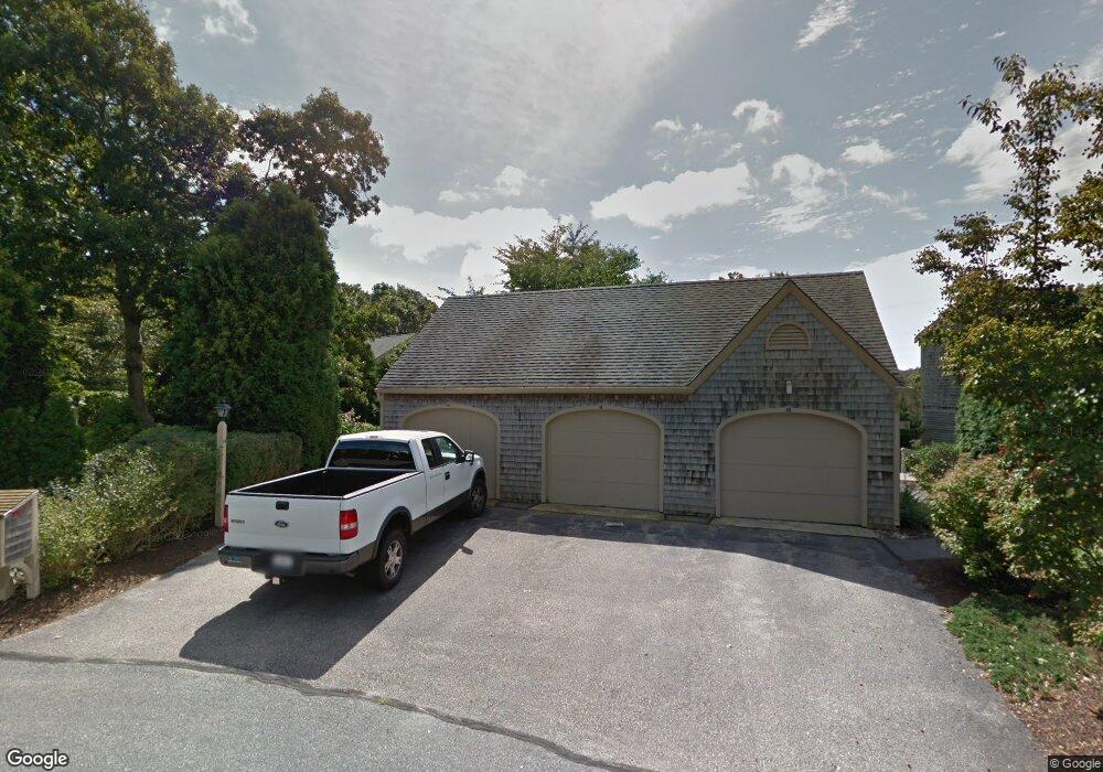
14 Landfall Falmouth, MA 02540
Falmouth Village NeighborhoodEstimated Value: $873,000 - $1,029,000
3
Beds
3
Baths
1,442
Sq Ft
$663/Sq Ft
Est. Value
About This Home
This home is located at 14 Landfall, Falmouth, MA 02540 and is currently estimated at $955,371, approximately $662 per square foot. 14 Landfall is a home located in Barnstable County with nearby schools including Mullen-Hall School, Lawrence School, and Morse Pond School.
Ownership History
Date
Name
Owned For
Owner Type
Purchase Details
Closed on
Dec 19, 2018
Sold by
Johnston Margaret M
Bought by
Swans Neck Rt
Current Estimated Value
Purchase Details
Closed on
May 18, 2012
Sold by
Spurrier Helene E and Spurrier William A
Bought by
Johnston Margaret M
Home Financials for this Owner
Home Financials are based on the most recent Mortgage that was taken out on this home.
Original Mortgage
$225,000
Interest Rate
3%
Mortgage Type
New Conventional
Purchase Details
Closed on
Mar 19, 1993
Sold by
Crafts Prescott C and Crafts Shirley W
Bought by
Spurrier William A and Spurriers Helen F
Create a Home Valuation Report for This Property
The Home Valuation Report is an in-depth analysis detailing your home's value as well as a comparison with similar homes in the area
Home Values in the Area
Average Home Value in this Area
Purchase History
| Date | Buyer | Sale Price | Title Company |
|---|---|---|---|
| Swans Neck Rt | -- | -- | |
| Johnston Margaret M | $360,000 | -- | |
| Spurrier William A | $272,500 | -- |
Source: Public Records
Mortgage History
| Date | Status | Borrower | Loan Amount |
|---|---|---|---|
| Previous Owner | Johnston Margaret M | $225,000 |
Source: Public Records
Tax History Compared to Growth
Tax History
| Year | Tax Paid | Tax Assessment Tax Assessment Total Assessment is a certain percentage of the fair market value that is determined by local assessors to be the total taxable value of land and additions on the property. | Land | Improvement |
|---|---|---|---|---|
| 2025 | $4,238 | $721,900 | $0 | $721,900 |
| 2024 | $3,943 | $627,800 | $0 | $627,800 |
| 2023 | $4,050 | $585,300 | $0 | $585,300 |
| 2022 | $4,377 | $543,700 | $0 | $543,700 |
| 2021 | $3,888 | $457,400 | $0 | $457,400 |
| 2020 | $3,929 | $457,400 | $0 | $457,400 |
| 2019 | $3,544 | $414,000 | $0 | $414,000 |
| 2018 | $2,594 | $398,300 | $0 | $398,300 |
| 2017 | $3,415 | $400,300 | $0 | $400,300 |
| 2016 | $3,463 | $413,700 | $0 | $413,700 |
| 2015 | $3,388 | $413,700 | $0 | $413,700 |
| 2014 | $2,971 | $364,600 | $0 | $364,600 |
Source: Public Records
Map
Nearby Homes
- 38 Landfall Unit 38
- 38 Landfall
- 251 Woods Hole Rd
- 87 Oyster Pond Rd
- 44 Carey Ln
- 15 Hedge Ln
- 45 Haynes Ave
- 27 Upland Ave
- 71 Main St
- 65 Walker St
- 98 Main St
- 98 Main St Unit 1
- 30 Katherine Lee Bates Rd
- 33 Oakwood Ave
- 76 F r Lillie Rd
- 29 Wilson Rd
- 480 Main St Unit 1
- 10 Shanks Pond Rd
- 110 Dillingham Ave Unit 322
- 253 Scranton Ave
- 118 Ships Watch
- 124 Ships Watch
- 94 Ships Watch
- 84 Ships Watch
- 92 Ships Watch
- 70 Landfall
- 10 Landfall
- 10 Landfall Unit 10
- 14 Landfall Treetops Unit U-14
- 10 Landfall Unit 2-1
- 110 Ships Watch
- 112 Ships Watch
- 114 Ships Watch
- 116 Ships Watch
- 110 Ships Watch Unit 110
- 110 Ships Watch Unit 14-4
- 112 Ships Watch Unit 143U
- 114 Ships Watch Unit 142
- 102 Ships Watch
- 104 Ships Watch