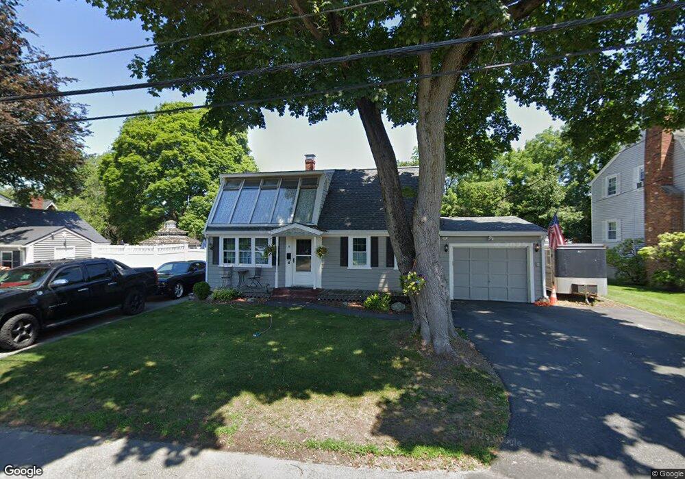
14 Lenox Ave Saugus, MA 01906
Lynnhurst NeighborhoodEstimated Value: $685,238 - $816,000
4
Beds
2
Baths
1,720
Sq Ft
$438/Sq Ft
Est. Value
About This Home
This home is located at 14 Lenox Ave, Saugus, MA 01906 and is currently estimated at $752,560, approximately $437 per square foot. 14 Lenox Ave is a home located in Essex County with nearby schools including Saugus High School and Pioneer Charter School Of Science II.
Create a Home Valuation Report for This Property
The Home Valuation Report is an in-depth analysis detailing your home's value as well as a comparison with similar homes in the area
Home Values in the Area
Average Home Value in this Area
Tax History
| Year | Tax Paid | Tax Assessment Tax Assessment Total Assessment is a certain percentage of the fair market value that is determined by local assessors to be the total taxable value of land and additions on the property. | Land | Improvement |
|---|---|---|---|---|
| 2025 | $6,453 | $604,200 | $313,800 | $290,400 |
| 2024 | $6,291 | $590,700 | $305,300 | $285,400 |
| 2023 | $6,085 | $540,400 | $267,100 | $273,300 |
| 2022 | $5,938 | $494,400 | $248,500 | $245,900 |
| 2021 | $5,474 | $443,600 | $206,100 | $237,500 |
| 2020 | $5,056 | $424,200 | $195,900 | $228,300 |
| 2019 | $4,974 | $408,400 | $186,600 | $221,800 |
| 2018 | $4,444 | $383,800 | $178,100 | $205,700 |
| 2017 | $4,201 | $348,600 | $169,600 | $179,000 |
| 2016 | $3,431 | $281,200 | $160,700 | $120,500 |
| 2015 | $3,219 | $267,800 | $153,000 | $114,800 |
| 2014 | $3,193 | $275,000 | $153,000 | $122,000 |
Source: Public Records
Map
Nearby Homes
- 24 Palmetto St
- 52 Hesper St
- 38 Appleton St
- 4 Oneil Way
- 29 Susan Dr
- 7 Central St
- 7 Nirvana Dr
- 36 Jasper St
- 25 Auburn St
- 227 Walnut St
- 62 Main St
- 1 Rhodes St
- 846 Broadway Unit 40
- 32 Birch Brook Rd Unit 13
- 32 Birch Brook Rd Unit 27
- 32 Birch Brook Rd Unit 26
- 32 Birch Brook Rd Unit 16
- 32 Birch Brook Rd Unit 1
- 32 Birch Brook Rd Unit 15
- 32 Birch Brook Rd Unit 14