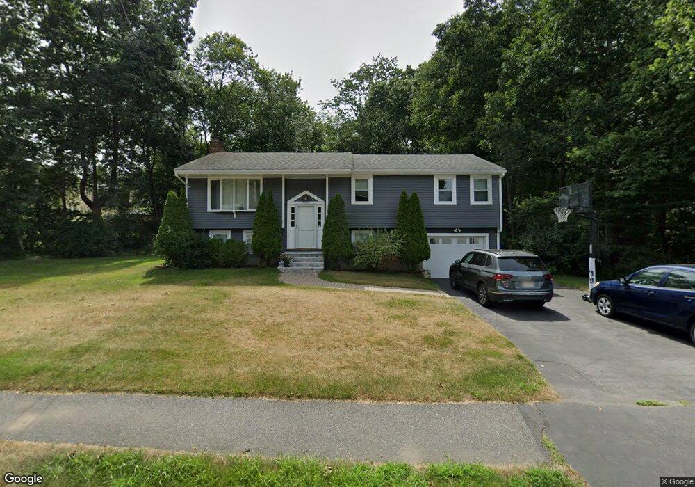
14 Linda St Unit 1 Westborough, MA 01581
Estimated Value: $691,190 - $739,000
3
Beds
2
Baths
1,696
Sq Ft
$422/Sq Ft
Est. Value
About This Home
This home is located at 14 Linda St Unit 1, Westborough, MA 01581 and is currently estimated at $716,298, approximately $422 per square foot. 14 Linda St Unit 1 is a home located in Worcester County with nearby schools including Westborough High School, Al-Hamra Academy, and Ebridge Montessori School.
Ownership History
Date
Name
Owned For
Owner Type
Purchase Details
Closed on
Dec 14, 2012
Sold by
Mendel Mathew N and Mendel Dori L
Bought by
Mendes Breno and Mendes Elizabeth P
Current Estimated Value
Home Financials for this Owner
Home Financials are based on the most recent Mortgage that was taken out on this home.
Original Mortgage
$299,250
Outstanding Balance
$212,336
Interest Rate
3.44%
Mortgage Type
New Conventional
Estimated Equity
$503,962
Purchase Details
Closed on
Nov 29, 2007
Sold by
Reidy Philip F
Bought by
Mendel Dori L and Mendel Mathew N
Home Financials for this Owner
Home Financials are based on the most recent Mortgage that was taken out on this home.
Original Mortgage
$287,900
Interest Rate
6.48%
Mortgage Type
Purchase Money Mortgage
Create a Home Valuation Report for This Property
The Home Valuation Report is an in-depth analysis detailing your home's value as well as a comparison with similar homes in the area
Home Values in the Area
Average Home Value in this Area
Purchase History
| Date | Buyer | Sale Price | Title Company |
|---|---|---|---|
| Mendes Breno | $315,000 | -- | |
| Mendel Dori L | $359,900 | -- |
Source: Public Records
Mortgage History
| Date | Status | Borrower | Loan Amount |
|---|---|---|---|
| Open | Mendes Breno | $299,250 | |
| Previous Owner | Mendel Dori L | $287,900 |
Source: Public Records
Tax History Compared to Growth
Tax History
| Year | Tax Paid | Tax Assessment Tax Assessment Total Assessment is a certain percentage of the fair market value that is determined by local assessors to be the total taxable value of land and additions on the property. | Land | Improvement |
|---|---|---|---|---|
| 2025 | $9,706 | $595,800 | $338,400 | $257,400 |
| 2024 | $9,208 | $561,100 | $322,100 | $239,000 |
| 2023 | $8,865 | $526,400 | $303,800 | $222,600 |
| 2022 | $8,372 | $452,800 | $248,700 | $204,100 |
| 2021 | $2,506 | $428,400 | $224,300 | $204,100 |
| 2020 | $7,606 | $415,200 | $220,200 | $195,000 |
| 2019 | $7,171 | $391,200 | $218,200 | $173,000 |
| 2018 | $6,675 | $361,600 | $210,000 | $151,600 |
| 2017 | $3,840 | $361,600 | $210,000 | $151,600 |
| 2016 | $6,127 | $344,800 | $203,900 | $140,900 |
| 2015 | $5,848 | $314,600 | $191,700 | $122,900 |
Source: Public Records
Map
Nearby Homes
- 10 Linda St
- 30 Arch St
- 8 Arch St
- 71 Nourse St
- 49 Arch St Unit 2
- Lot 1 Beeton Path
- 17 Olde Hickory Path
- 30 Old Nourse St
- 8 Arch St
- 1 Benjamin Dr
- 16 Daania Dr Unit 16
- 22 Capt Samuel Forbush Rd
- 457 Walnut St
- 201 Old Westboro Rd
- 14 Nourse St
- 603 South St
- 165 Green St
- 16 Ward Ln
- 562 South St
- 9 Westminster Way