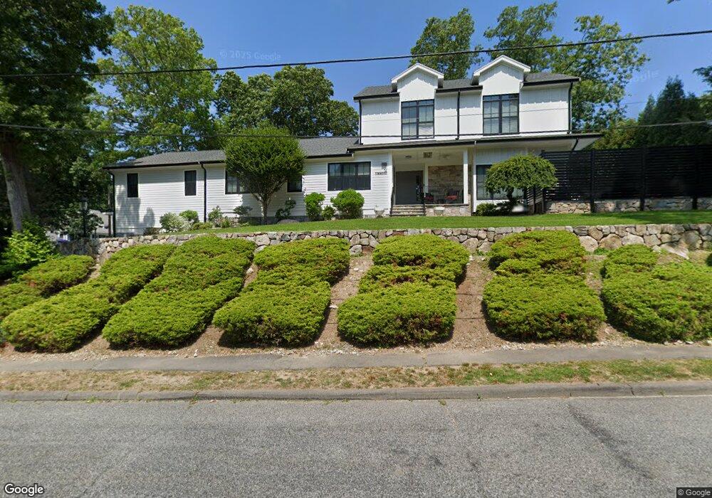
14 Linwood Rd Unit 1 Wellesley Hills, MA 02481
Estimated Value: $2,716,000 - $3,470,000
3
Beds
4
Baths
3,539
Sq Ft
$829/Sq Ft
Est. Value
About This Home
This home is located at 14 Linwood Rd Unit 1, Wellesley Hills, MA 02481 and is currently estimated at $2,933,613, approximately $828 per square foot. 14 Linwood Rd Unit 1 is a home located in Norfolk County with nearby schools including Katharine Lee Bates Elementary School, Wellesley Middle School, and Wellesley Sr High School.
Ownership History
Date
Name
Owned For
Owner Type
Purchase Details
Closed on
Jul 21, 2016
Sold by
Martin and Martin Caroline Asp
Bought by
Hasan Jawad M
Current Estimated Value
Home Financials for this Owner
Home Financials are based on the most recent Mortgage that was taken out on this home.
Original Mortgage
$966,564
Outstanding Balance
$772,107
Interest Rate
3.6%
Mortgage Type
Unknown
Estimated Equity
$2,161,506
Purchase Details
Closed on
Jun 1, 2015
Sold by
Asp Martin
Bought by
Martin & Caroline Asp Lt
Purchase Details
Closed on
Apr 5, 2013
Sold by
Murmes Matthew A and Murmes Jill
Bought by
Asp Martin
Purchase Details
Closed on
Dec 22, 2006
Sold by
Pritsak Larysa
Bought by
Murmes Matthew A
Home Financials for this Owner
Home Financials are based on the most recent Mortgage that was taken out on this home.
Original Mortgage
$712,500
Interest Rate
6.35%
Mortgage Type
Purchase Money Mortgage
Create a Home Valuation Report for This Property
The Home Valuation Report is an in-depth analysis detailing your home's value as well as a comparison with similar homes in the area
Home Values in the Area
Average Home Value in this Area
Purchase History
| Date | Buyer | Sale Price | Title Company |
|---|---|---|---|
| Hasan Jawad M | $1,288,750 | -- | |
| Martin & Caroline Asp Lt | -- | -- | |
| Asp Martin | $1,030,000 | -- | |
| Murmes Matthew A | $750,000 | -- |
Source: Public Records
Mortgage History
| Date | Status | Borrower | Loan Amount |
|---|---|---|---|
| Open | Hasan Jawad M | $966,564 | |
| Previous Owner | Murmes Matthew A | $712,500 |
Source: Public Records
Tax History Compared to Growth
Tax History
| Year | Tax Paid | Tax Assessment Tax Assessment Total Assessment is a certain percentage of the fair market value that is determined by local assessors to be the total taxable value of land and additions on the property. | Land | Improvement |
|---|---|---|---|---|
| 2025 | $26,348 | $2,563,000 | $1,137,000 | $1,426,000 |
| 2024 | $24,599 | $2,363,000 | $988,000 | $1,375,000 |
| 2023 | $21,663 | $1,892,000 | $839,000 | $1,053,000 |
| 2022 | $20,323 | $1,740,000 | $719,000 | $1,021,000 |
| 2021 | $15,945 | $1,357,000 | $719,000 | $638,000 |
| 2020 | $15,271 | $1,321,000 | $719,000 | $602,000 |
| 2019 | $13,722 | $1,186,000 | $719,000 | $467,000 |
| 2018 | $13,862 | $1,160,000 | $675,000 | $485,000 |
| 2017 | $13,287 | $1,127,000 | $675,000 | $452,000 |
| 2016 | $11,487 | $971,000 | $663,000 | $308,000 |
| 2015 | -- | $969,000 | $663,000 | $306,000 |
Source: Public Records
Map
Nearby Homes
- 6 Norwich Rd
- 51 Boulder Brook Rd
- 209 Bristol Rd
- 6 Nantucket Rd
- 23 Pilgrim Rd
- 6 Wilde Rd
- 13 Cavanaugh Rd
- 365 Weston Rd
- 36 Oakridge Rd
- 19 Louis Dr
- 33 Royalston Rd
- 428 Weston Rd
- 7 Mountview Rd
- 19 Northgate Rd
- 201 Lowell Rd
- 46 Royalston Rd
- 12 Russell Rd Unit 405
- 15 Essex Rd
- 18 Sprague Rd
- 120 Rockport Rd