14 Mackady Ct Westport, MA 02790
Brownell/Giffords Corner NeighborhoodEstimated Value: $781,105 - $845,000
3
Beds
1
Bath
2,293
Sq Ft
$357/Sq Ft
Est. Value
About This Home
This home is located at 14 Mackady Ct, Westport, MA 02790 and is currently estimated at $819,276, approximately $357 per square foot. 14 Mackady Ct is a home located in Bristol County with nearby schools including Alice A. Macomber Primary School, Westport Elementary School, and Westport Middle-High School.
Ownership History
Date
Name
Owned For
Owner Type
Purchase Details
Closed on
Nov 4, 2005
Sold by
Westport Co Inc and Long
Bought by
Simmons Richard F
Current Estimated Value
Home Financials for this Owner
Home Financials are based on the most recent Mortgage that was taken out on this home.
Original Mortgage
$150,000
Outstanding Balance
$80,439
Interest Rate
5.79%
Estimated Equity
$738,837
Purchase Details
Closed on
Sep 7, 2005
Sold by
Westport Co Inc and Long James J
Bought by
Friar Emy N and Friar Philip W
Home Financials for this Owner
Home Financials are based on the most recent Mortgage that was taken out on this home.
Original Mortgage
$150,000
Outstanding Balance
$80,439
Interest Rate
5.79%
Estimated Equity
$738,837
Create a Home Valuation Report for This Property
The Home Valuation Report is an in-depth analysis detailing your home's value as well as a comparison with similar homes in the area
Home Values in the Area
Average Home Value in this Area
Purchase History
| Date | Buyer | Sale Price | Title Company |
|---|---|---|---|
| Simmons Richard F | $45,000 | -- | |
| Friar Emy N | $150,000 | -- |
Source: Public Records
Mortgage History
| Date | Status | Borrower | Loan Amount |
|---|---|---|---|
| Open | Friar Emy N | $150,000 |
Source: Public Records
Tax History Compared to Growth
Tax History
| Year | Tax Paid | Tax Assessment Tax Assessment Total Assessment is a certain percentage of the fair market value that is determined by local assessors to be the total taxable value of land and additions on the property. | Land | Improvement |
|---|---|---|---|---|
| 2025 | $4,866 | $653,100 | $212,300 | $440,800 |
| 2024 | $4,898 | $633,600 | $198,500 | $435,100 |
| 2023 | $4,695 | $575,400 | $182,300 | $393,100 |
| 2022 | $4,262 | $502,600 | $166,500 | $336,100 |
| 2021 | $4,112 | $477,000 | $153,400 | $323,600 |
| 2020 | $3,976 | $471,700 | $148,100 | $323,600 |
| 2019 | $4,706 | $569,100 | $148,100 | $421,000 |
| 2018 | $3,398 | $462,100 | $146,800 | $315,300 |
| 2017 | $3,612 | $453,200 | $146,800 | $306,400 |
| 2016 | $3,380 | $427,300 | $146,800 | $280,500 |
| 2015 | $3,184 | $401,500 | $146,800 | $254,700 |
Source: Public Records
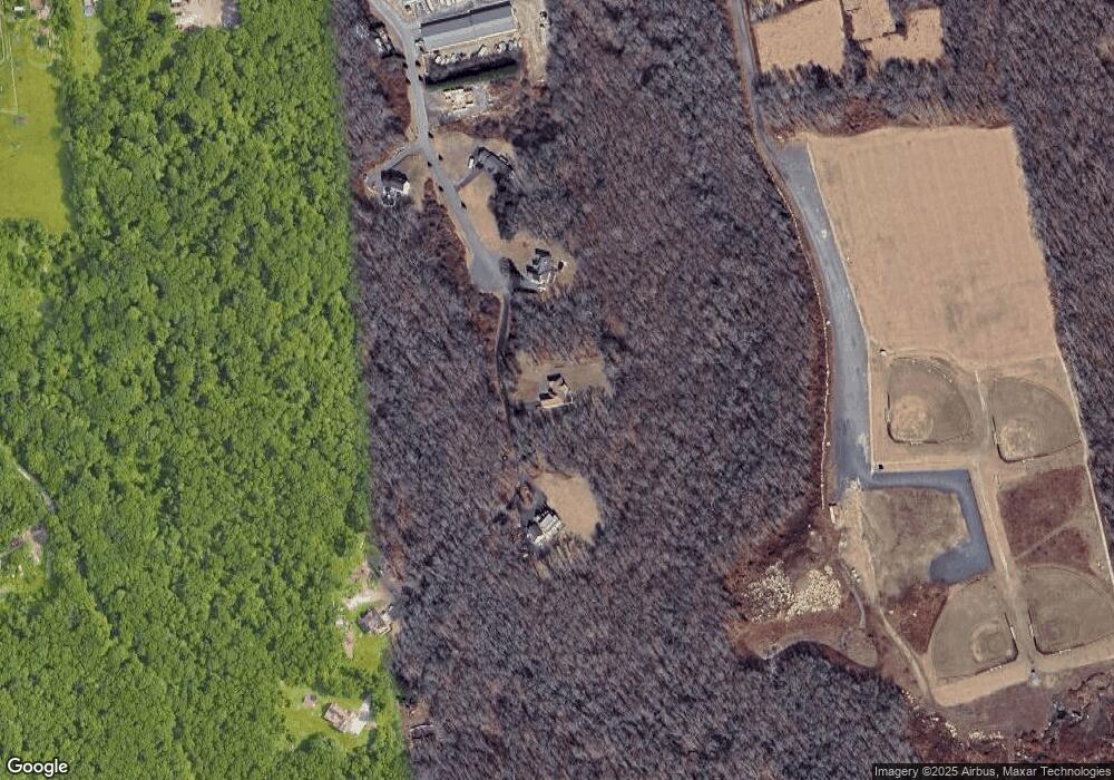
Map
Nearby Homes
- 4 Main Rd
- 6 Angel Ct
- 771 Sanford Rd
- 218 American Legion Hwy
- 118 Charlotte White Rd
- 47 Devol Ave
- Lot 0 Marcotte
- 27 Dias Ave
- 33 Moniz Dr
- 40 Robert St
- 0 Hidden Glen Ln
- 118 Charlotte White Rd Extension
- 8 Strawberry Ln
- 47 Robert St
- 9 Kyle Jacob Rd
- 51 Newton St
- 47 Fallon Dr
- 978 Sodom Rd
- 308 Robert St
- 100 D Dr
- 8 Mackady Ct
- 20 Mackady Ct
- 7 Mackady Ct
- 9 Mackady Ct
- 11 Mackady Ct
- 32 Mackady Ct
- 3 Mackady Ct
- 519 American Legion Hwy Unit 6
- 519 American Legion Hwy Unit Bldg 2
- 519 American Legion Hwy Unit Bldg 5
- 519 American Legion Hwy Unit 5
- 519 American Legion Hwy Unit 2
- 519 American Legion Hwy Unit 6 A
- 519 American Legion Hwy Unit 4
- 519 American Legion Hwy Unit 1 6
- 519 American Legion Hwy Unit 3
- 519 American Legion Hwy Unit 11
- 519 American Legion Hwy Unit Bldg 7
- 463 American Legion Hwy
- 515 American Legion Hwy