14 Maefield Ln Hudson, ME 04449
Estimated Value: $313,475 - $381,000
5
Beds
3
Baths
2,127
Sq Ft
$166/Sq Ft
Est. Value
About This Home
This home is located at 14 Maefield Ln, Hudson, ME 04449 and is currently estimated at $353,619, approximately $166 per square foot. 14 Maefield Ln is a home located in Penobscot County with nearby schools including Central Community Elementary School and Central High School.
Ownership History
Date
Name
Owned For
Owner Type
Purchase Details
Closed on
Jul 26, 2007
Sold by
Currie Stanley and Currie Dianne M
Bought by
Runnells George A and Runnells Dody
Current Estimated Value
Home Financials for this Owner
Home Financials are based on the most recent Mortgage that was taken out on this home.
Original Mortgage
$169,900
Outstanding Balance
$108,230
Interest Rate
6.78%
Mortgage Type
Commercial
Estimated Equity
$245,389
Create a Home Valuation Report for This Property
The Home Valuation Report is an in-depth analysis detailing your home's value as well as a comparison with similar homes in the area
Purchase History
| Date | Buyer | Sale Price | Title Company |
|---|---|---|---|
| Runnells George A | -- | -- |
Source: Public Records
Mortgage History
| Date | Status | Borrower | Loan Amount |
|---|---|---|---|
| Open | Runnells George A | $169,900 |
Source: Public Records
Tax History
| Year | Tax Paid | Tax Assessment Tax Assessment Total Assessment is a certain percentage of the fair market value that is determined by local assessors to be the total taxable value of land and additions on the property. | Land | Improvement |
|---|---|---|---|---|
| 2024 | $3,276 | $201,600 | $22,500 | $179,100 |
| 2023 | $3,074 | $201,600 | $22,500 | $179,100 |
| 2022 | $2,923 | $201,600 | $22,500 | $179,100 |
| 2021 | $2,923 | $201,600 | $22,500 | $179,100 |
| 2019 | $2,923 | $201,600 | $22,500 | $179,100 |
| 2018 | $2,883 | $201,600 | $22,500 | $179,100 |
| 2017 | $2,802 | $201,600 | $22,500 | $179,100 |
| 2016 | $2,702 | $201,650 | $22,540 | $179,110 |
| 2015 | $2,588 | $200,650 | $21,540 | $179,110 |
| 2014 | $2,428 | $200,650 | $21,540 | $179,110 |
| 2013 | $2,277 | $200,650 | $21,540 | $179,110 |
Source: Public Records
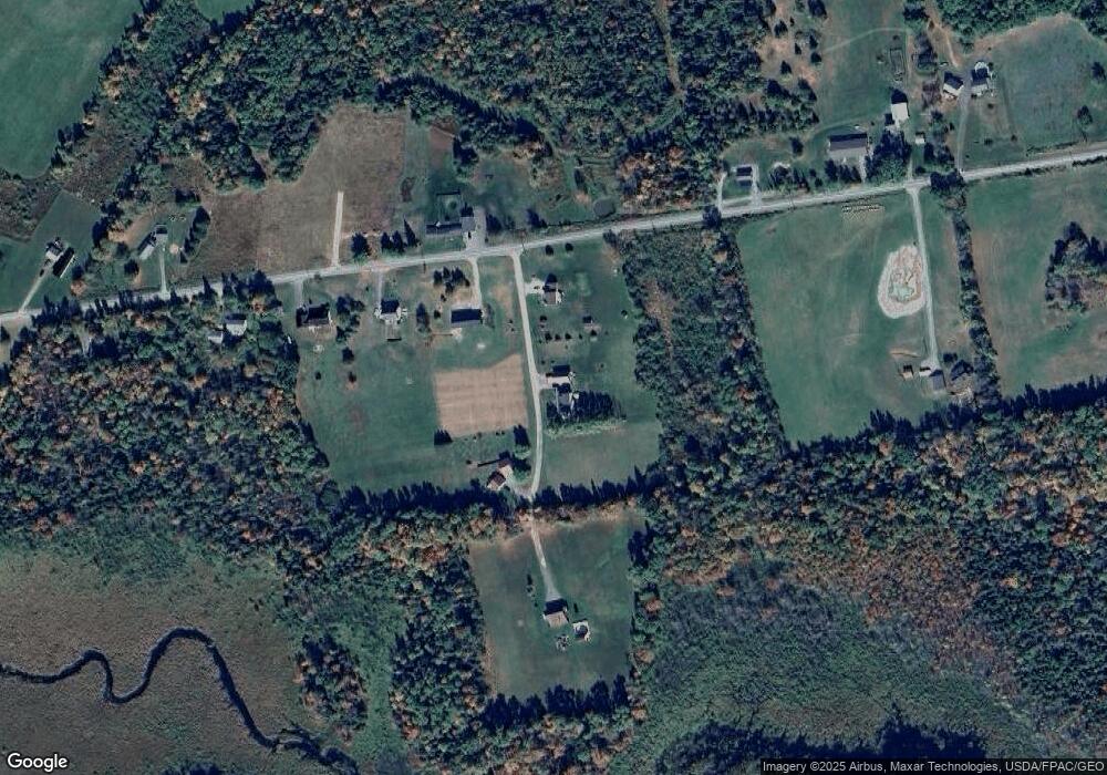
Map
Nearby Homes
- 40 Cookson
- 34 Center St
- 32 Center St
- 67 Stacey Ln
- 748 Grant Rd
- 467 Hudson Hill Rd
- 398 Hudson Hill Rd
- 1156 Main St
- 263 Mudgett Rd
- 503 Stetson Rd
- 2016 Hudson Rd
- 19 Marston Meadow Rd
- 9 Jipson Ln
- Lot #7 Kenduskeag Levant Rd
- 510 Kenduskeag Levant Rd
- Lot 24-07 Tate Rd
- 465 Grant Rd
- 70 Clark Rd
- 14 Pushaw Woods Ln
- 7 Ellingwood Dr
Your Personal Tour Guide
Ask me questions while you tour the home.