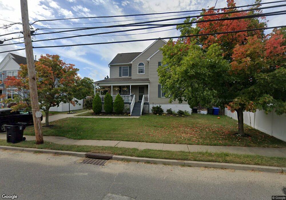
14 Main St Port Monmouth, NJ 07758
Estimated Value: $606,297 - $688,000
3
Beds
2
Baths
1,653
Sq Ft
$393/Sq Ft
Est. Value
About This Home
This home is located at 14 Main St, Port Monmouth, NJ 07758 and is currently estimated at $648,824, approximately $392 per square foot. 14 Main St is a home located in Monmouth County with nearby schools including Port Monmouth Elementary School, Thorne Middle School, and Middletown High School North.
Ownership History
Date
Name
Owned For
Owner Type
Purchase Details
Closed on
Sep 12, 2006
Sold by
Sullivan Michael
Bought by
Szep Matthew and Szep Kathryn
Current Estimated Value
Home Financials for this Owner
Home Financials are based on the most recent Mortgage that was taken out on this home.
Original Mortgage
$220,000
Outstanding Balance
$131,858
Interest Rate
6.54%
Estimated Equity
$516,966
Purchase Details
Closed on
Sep 14, 2004
Sold by
Rubino Richard
Bought by
Sullivan Michael and Zielinski Debra
Home Financials for this Owner
Home Financials are based on the most recent Mortgage that was taken out on this home.
Original Mortgage
$240,000
Interest Rate
5.89%
Purchase Details
Closed on
Jun 23, 1997
Sold by
Mason
Bought by
Rubino Richard
Home Financials for this Owner
Home Financials are based on the most recent Mortgage that was taken out on this home.
Original Mortgage
$148,000
Interest Rate
7.56%
Create a Home Valuation Report for This Property
The Home Valuation Report is an in-depth analysis detailing your home's value as well as a comparison with similar homes in the area
Home Values in the Area
Average Home Value in this Area
Purchase History
| Date | Buyer | Sale Price | Title Company |
|---|---|---|---|
| Szep Matthew | $405,000 | -- | |
| Sullivan Michael | $325,000 | -- | |
| Rubino Richard | $155,900 | -- |
Source: Public Records
Mortgage History
| Date | Status | Borrower | Loan Amount |
|---|---|---|---|
| Open | Szep Matthew | $220,000 | |
| Open | Szep Matthew | $320,000 | |
| Previous Owner | Sullivan Michael | $240,000 | |
| Previous Owner | Rubino Richard | $148,000 |
Source: Public Records
Tax History Compared to Growth
Tax History
| Year | Tax Paid | Tax Assessment Tax Assessment Total Assessment is a certain percentage of the fair market value that is determined by local assessors to be the total taxable value of land and additions on the property. | Land | Improvement |
|---|---|---|---|---|
| 2025 | $7,750 | $537,500 | $293,200 | $244,300 |
| 2024 | $7,675 | $471,100 | $231,300 | $239,800 |
| 2023 | $7,675 | $441,600 | $204,500 | $237,100 |
| 2022 | $6,887 | $383,700 | $157,900 | $225,800 |
| 2021 | $6,887 | $331,100 | $127,800 | $203,300 |
| 2020 | $6,854 | $320,600 | $121,900 | $198,700 |
| 2019 | $6,796 | $321,800 | $121,900 | $199,900 |
| 2018 | $6,772 | $312,500 | $121,900 | $190,600 |
| 2017 | $6,105 | $278,900 | $91,800 | $187,100 |
| 2016 | $5,754 | $270,000 | $91,800 | $178,200 |
| 2015 | $5,659 | $256,400 | $91,800 | $164,600 |
| 2014 | $6,300 | $278,400 | $118,800 | $159,600 |
Source: Public Records
Map
Nearby Homes
- 620 Park Ave
- 19 Brainard Ave
- 11 Brainard Ave
- 602 Park Ave Unit 7C
- 36 Main St
- 37 Golden Eye Ln
- 36 Golden Eye Ln
- 62 Brainard Ave
- 43 Skimmer Ln
- 2 Lydia Place
- 78 Wilson Ave
- 79 Compton St Unit A & B
- 147 Church St
- 92 Compton St
- 19 Walada Ave
- 617 Carter Ave
- 35 Willow St
- 443 Port Monmouth Rd E
- 0 Clinton St Unit 22238196
- 0 S End Ave Unit 22420779
- 16 Main St
- 748 Port Monmouth Rd
- 746 Port Monmouth Rd
- 19 Main St
- 20 Main St
- 20 Main St Unit B
- 20 Main St Unit A
- 20 Main St Unit C
- 622 Park Ave
- 744 Port Monmouth Rd
- 784 Port Monmouth Rd
- 22 Main St
- 618 Park Ave
- 13 Griggs Ave
- 740 Port Monmouth Rd
- 11 Griggs Ave
- 15 Griggs Ave
- 627 Park Ave
- 738 Port Monmouth Rd
- 13 Brainard Ave