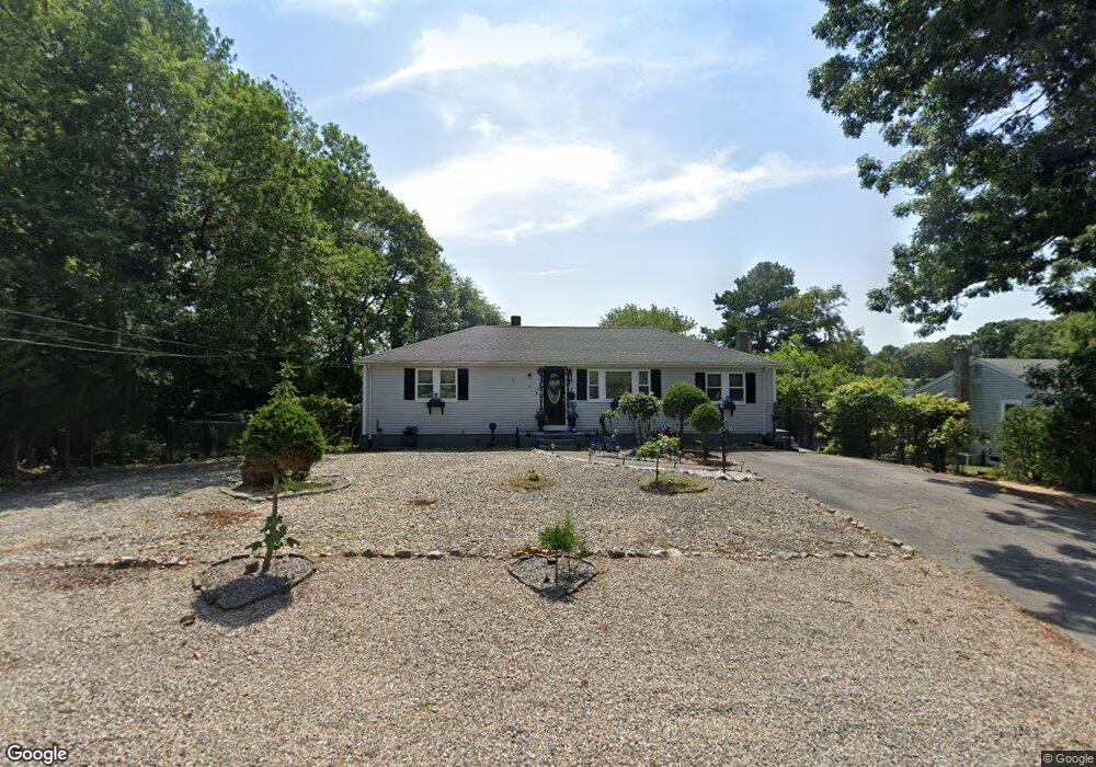
14 Mallard Rd Wareham, MA 02571
Estimated Value: $347,000 - $478,000
2
Beds
2
Baths
1,152
Sq Ft
$377/Sq Ft
Est. Value
About This Home
This home is located at 14 Mallard Rd, Wareham, MA 02571 and is currently estimated at $433,906, approximately $376 per square foot. 14 Mallard Rd is a home located in Plymouth County.
Ownership History
Date
Name
Owned For
Owner Type
Purchase Details
Closed on
Nov 13, 2006
Sold by
Mello Adolph P
Bought by
Mello Penelope
Current Estimated Value
Purchase Details
Closed on
Jan 3, 1995
Sold by
Fnma
Bought by
Mello Adolph P and Mello Penelope
Home Financials for this Owner
Home Financials are based on the most recent Mortgage that was taken out on this home.
Original Mortgage
$56,050
Interest Rate
9.2%
Mortgage Type
Purchase Money Mortgage
Create a Home Valuation Report for This Property
The Home Valuation Report is an in-depth analysis detailing your home's value as well as a comparison with similar homes in the area
Purchase History
| Date | Buyer | Sale Price | Title Company |
|---|---|---|---|
| Mello Penelope | -- | -- | |
| Mello Penelope | -- | -- | |
| Mello Adolph P | $59,000 | -- |
Source: Public Records
Mortgage History
| Date | Status | Borrower | Loan Amount |
|---|---|---|---|
| Previous Owner | Mello Adolph P | $59,000 | |
| Previous Owner | Mello Adolph P | $56,050 | |
| Previous Owner | Mello Adolph P | $40,000 |
Source: Public Records
Tax History
| Year | Tax Paid | Tax Assessment Tax Assessment Total Assessment is a certain percentage of the fair market value that is determined by local assessors to be the total taxable value of land and additions on the property. | Land | Improvement |
|---|---|---|---|---|
| 2025 | $4,217 | $404,700 | $127,900 | $276,800 |
| 2024 | $4,175 | $371,800 | $100,400 | $271,400 |
| 2023 | $3,814 | $334,500 | $91,300 | $243,200 |
| 2022 | $3,814 | $289,400 | $91,300 | $198,100 |
| 2021 | $3,779 | $281,000 | $91,300 | $189,700 |
| 2020 | $3,539 | $266,900 | $91,300 | $175,600 |
| 2019 | $3,304 | $248,600 | $89,700 | $158,900 |
| 2018 | $3,116 | $228,600 | $89,700 | $138,900 |
| 2017 | $2,948 | $219,200 | $89,700 | $129,500 |
| 2016 | $3,074 | $227,200 | $115,500 | $111,700 |
| 2015 | $2,970 | $227,200 | $115,500 | $111,700 |
| 2014 | $2,607 | $202,900 | $97,800 | $105,100 |
Source: Public Records
Map
Nearby Homes
- 2697 Cranberry Hwy Unit 23
- 2711 Cranberry Hwy
- 156 Sandwich Rd
- 2645 Cranberry Hwy Unit A
- 103 Kimberly Ct
- 2783 Cranberry Hwy
- 55 Minot Ave Unit 55
- 10 Oak St
- 110 Mayflower Ridge Dr
- 2838 Cranberry Hwy
- 124 Minot Ave Unit 1
- 437 Main St
- 7 Knowles Ave
- 9 Old Glen Charlie Rd
- 106 Circuit Ave
- 4 Ross Ave
- 0 Charge Pond Rd
- 91 Agawam Lake Shore Dr
- 3 Hazel St
- 102 Maple Springs Rd
- 16 Mallard Rd
- 13 Mallard Rd
- 15 Mallard Rd
- 11 Mallard Rd
- 9 Mallard Rd
- 28 Meadowlark Dr
- 30 Meadowlark Dr
- 26 Meadowlark Dr
- 24 Meadowlark Dr
- 7 Mallard Rd
- 6 Mallard Rd
- 9 Wren Terrace
- 22 Meadowlark Dr
- 21 Mallard Rd
- 5 Mallard Rd
- 25 Meadowlark Dr
- 27 Meadowlark Dr
- 29 Meadowlark Dr
- 7 Wren Terrace
- 21 Meadowlark Dr
Your Personal Tour Guide
Ask me questions while you tour the home.