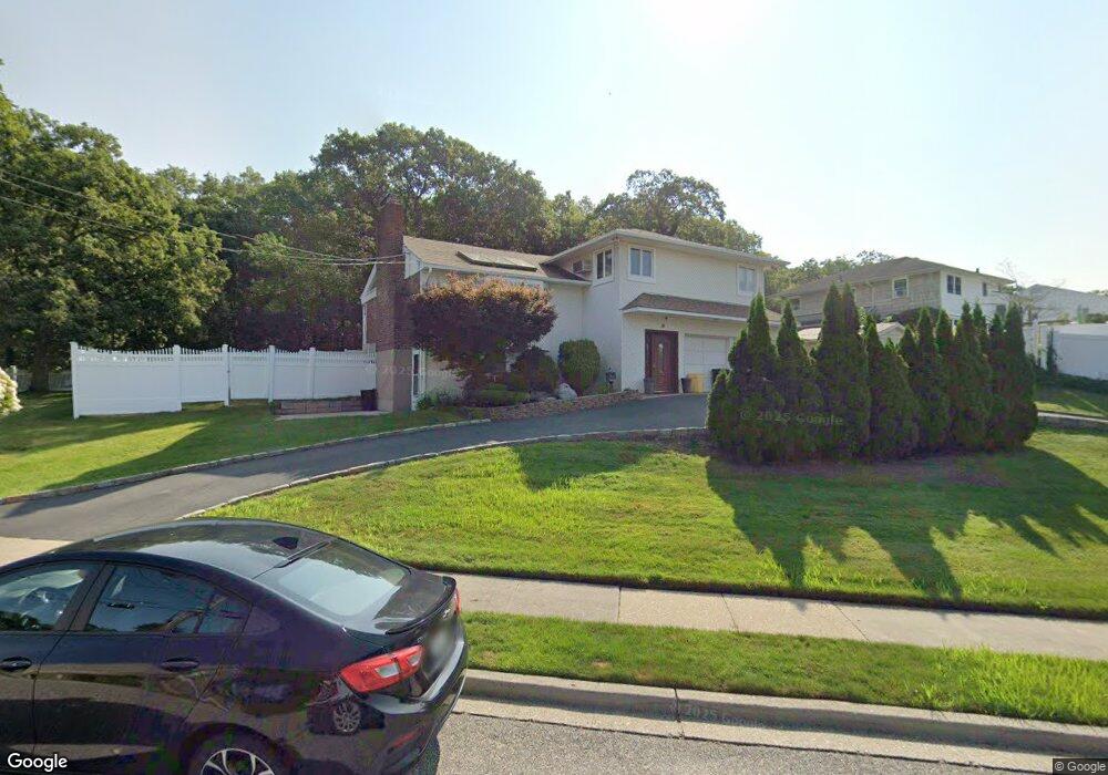
14 Manchester Dr Bethpage, NY 11714
Estimated Value: $880,000 - $904,555
--
Bed
3
Baths
1,400
Sq Ft
$637/Sq Ft
Est. Value
About This Home
This home is located at 14 Manchester Dr, Bethpage, NY 11714 and is currently estimated at $892,278, approximately $637 per square foot. 14 Manchester Dr is a home located in Nassau County with nearby schools including Charles Campagne Elementary School, John F Kennedy Middle School, and Bethpage Senior High School.
Ownership History
Date
Name
Owned For
Owner Type
Purchase Details
Closed on
Jan 26, 2023
Sold by
Cusicanqui Danny and Estate Of Luis Cusicanqui
Bought by
Cusu Bros Ii Llc
Current Estimated Value
Purchase Details
Closed on
Mar 25, 2009
Sold by
Cusicanqui Luis and Cusicanqui Maria
Bought by
Cusicanqui Luis and Mercado Maria
Create a Home Valuation Report for This Property
The Home Valuation Report is an in-depth analysis detailing your home's value as well as a comparison with similar homes in the area
Home Values in the Area
Average Home Value in this Area
Purchase History
| Date | Buyer | Sale Price | Title Company |
|---|---|---|---|
| Cusu Bros Ii Llc | -- | None Available | |
| Cusu Bros Ii Llc | -- | None Available | |
| Cusu Bros Ii Llc | -- | None Available | |
| Cusicanqui Luis | -- | Commonwealth Land Title | |
| Cusicanqui Luis | -- | Commonwealth Land Title | |
| Cusicanqui Luis | -- | Commonwealth Land Title |
Source: Public Records
Tax History Compared to Growth
Tax History
| Year | Tax Paid | Tax Assessment Tax Assessment Total Assessment is a certain percentage of the fair market value that is determined by local assessors to be the total taxable value of land and additions on the property. | Land | Improvement |
|---|---|---|---|---|
| 2025 | $17,168 | $615 | $378 | $237 |
| 2024 | $5,818 | $615 | $378 | $237 |
| 2023 | $14,443 | $615 | $378 | $237 |
| 2022 | $14,244 | $615 | $378 | $237 |
| 2021 | $14,173 | $597 | $367 | $230 |
| 2020 | $13,397 | $764 | $522 | $242 |
| 2019 | $12,329 | $764 | $522 | $242 |
| 2018 | $11,258 | $764 | $0 | $0 |
| 2017 | $6,281 | $798 | $522 | $276 |
| 2016 | $10,382 | $798 | $496 | $302 |
| 2015 | $3,618 | $798 | $496 | $302 |
| 2014 | $3,618 | $798 | $496 | $302 |
| 2013 | $3,453 | $840 | $522 | $318 |
Source: Public Records
Map
Nearby Homes
- 49 Norcross Ave
- 68 Caroline St
- 9 Revere Ave
- 198 Central Ave
- 189 N Windhorst Ave
- 12 Enness Ave
- 54 S 1st St
- 5 Totten St
- 26 Kearney Ave
- 35 Jackson Ave
- 3 East Ct
- 128 N Windhorst Ave
- 234 S Pershing Ave
- 1450 Merritts Rd
- 338 Stewart Ave
- 22 Sherman Ave
- 23 Arthur Ave
- 96 S Windhorst Ave
- 26 Bradford Ln
- 131 S 5th St
- 15 Plainview Rd
- 12 Manchester Dr
- 19 Manchester Dr
- 21 Manchester Dr
- 17 Manchester Dr
- 23 Manchester Dr
- 11 Plainview Rd
- 15 Manchester Dr
- 10 Manchester Dr
- 9 Plainview Rd
- 25 Manchester Dr
- 11 Manchester Dr
- 8 Manchester Dr
- 7 Plainview Rd
- 9 Manchester Dr
- 6 Manchester Dr
- 5 Plainview Rd
- 7 Manchester Dr
- 4 Manchester Dr
- 3 Plainview Rd