14 Manitou Rd Westport, CT 06880
Saugatuck NeighborhoodEstimated Value: $2,186,000 - $7,542,000
4
Beds
4
Baths
3,166
Sq Ft
$1,595/Sq Ft
Est. Value
About This Home
This home is located at 14 Manitou Rd, Westport, CT 06880 and is currently estimated at $5,049,347, approximately $1,594 per square foot. 14 Manitou Rd is a home located in Fairfield County with nearby schools including Green's Farms School, Bedford Middle School, and Staples High School.
Ownership History
Date
Name
Owned For
Owner Type
Purchase Details
Closed on
Nov 30, 2018
Sold by
Lane Amy F
Bought by
Amy Frances Lane Ret
Current Estimated Value
Create a Home Valuation Report for This Property
The Home Valuation Report is an in-depth analysis detailing your home's value as well as a comparison with similar homes in the area
Home Values in the Area
Average Home Value in this Area
Purchase History
| Date | Buyer | Sale Price | Title Company |
|---|---|---|---|
| Amy Frances Lane Ret | -- | -- | |
| Amy Frances Lane Ret | -- | -- |
Source: Public Records
Tax History
| Year | Tax Paid | Tax Assessment Tax Assessment Total Assessment is a certain percentage of the fair market value that is determined by local assessors to be the total taxable value of land and additions on the property. | Land | Improvement |
|---|---|---|---|---|
| 2025 | $50,130 | $2,658,000 | $855,200 | $1,802,800 |
| 2024 | $49,492 | $2,658,000 | $855,200 | $1,802,800 |
| 2023 | $48,774 | $2,658,000 | $855,200 | $1,802,800 |
| 2022 | $43,251 | $2,393,500 | $855,200 | $1,538,300 |
| 2021 | $43,251 | $2,393,500 | $855,200 | $1,538,300 |
| 2020 | $39,735 | $2,377,900 | $665,700 | $1,712,200 |
| 2019 | $40,091 | $2,377,900 | $665,700 | $1,712,200 |
| 2018 | $40,091 | $2,377,900 | $665,700 | $1,712,200 |
| 2017 | $40,091 | $2,377,900 | $665,700 | $1,712,200 |
| 2016 | $45,377 | $2,691,400 | $665,700 | $2,025,700 |
| 2015 | $12,992 | $718,200 | $578,200 | $140,000 |
| 2014 | $15,708 | $875,600 | $578,200 | $297,400 |
Source: Public Records
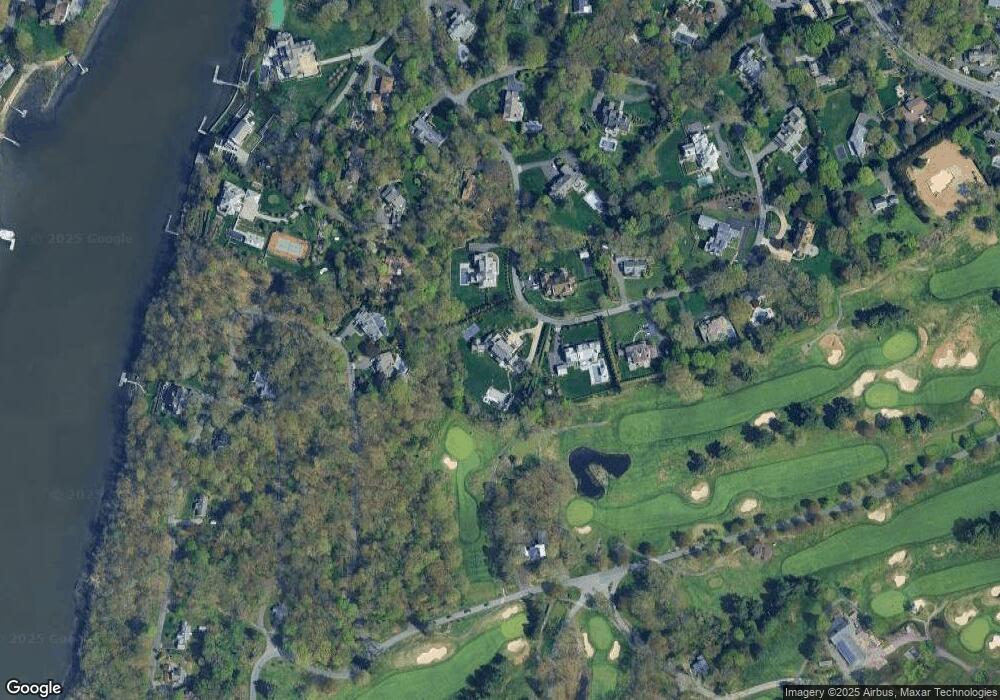
Map
Nearby Homes
- 11 Manitou Ct
- 32 Narrow Rocks Rd
- 14 Owenoke Park
- 31 Franklin St
- 24 Compo Pkwy
- 39 Compo Pkwy
- 23 Bridge St
- 26 Treadwell Ave
- 9 Pond Edge Rd
- 5 Franklin Ave
- 7 Hale St
- 5 Inwood Ln
- 3 Laurel Ln
- 9 Spriteview Ave
- 150 Hillspoint Rd
- 50 Kings Hwy S
- 80 County St Unit 9K
- 80 County St Unit 11K
- 69 Grove Point
- 102 Compo Rd S
Your Personal Tour Guide
Ask me questions while you tour the home.