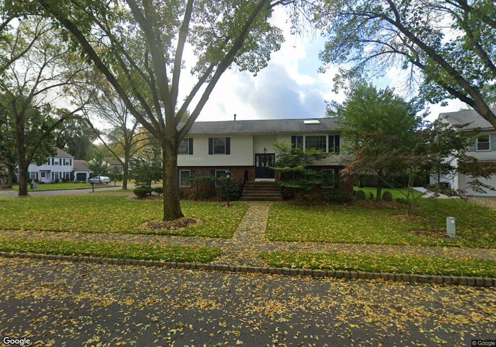
14 Manning Rd Paramus, NJ 07652
Estimated Value: $1,086,264 - $1,304,000
Studio
--
Bath
2,548
Sq Ft
$470/Sq Ft
Est. Value
About This Home
This home is located at 14 Manning Rd, Paramus, NJ 07652 and is currently estimated at $1,197,566, approximately $470 per square foot. 14 Manning Rd is a home located in Bergen County with nearby schools including Paramus High School, David Gregory School, and Paramus Catholic High School.
Ownership History
Date
Name
Owned For
Owner Type
Purchase Details
Closed on
Nov 3, 2000
Bought by
Mckiernan Patrick
Current Estimated Value
Home Financials for this Owner
Home Financials are based on the most recent Mortgage that was taken out on this home.
Original Mortgage
$125,000
Outstanding Balance
$45,896
Interest Rate
7.83%
Estimated Equity
$1,151,670
Purchase Details
Closed on
Oct 12, 1999
Sold by
Rocklin Elaine S and Rocklin Arnold S
Bought by
Kiernan Patrick M and Mckiernan Phyllis
Home Financials for this Owner
Home Financials are based on the most recent Mortgage that was taken out on this home.
Original Mortgage
$175,000
Interest Rate
7.83%
Create a Home Valuation Report for This Property
The Home Valuation Report is an in-depth analysis detailing your home's value as well as a comparison with similar homes in the area
Home Values in the Area
Average Home Value in this Area
Purchase History
| Date | Buyer | Sale Price | Title Company |
|---|---|---|---|
| Mckiernan Patrick | -- | -- | |
| Mckiernan Patrick | -- | -- | |
| Kiernan Patrick M | $425,000 | -- |
Source: Public Records
Mortgage History
| Date | Status | Borrower | Loan Amount |
|---|---|---|---|
| Open | Mckiernan Patrick | $125,000 | |
| Closed | Mckiernan Patrick | $125,000 | |
| Previous Owner | Kiernan Patrick M | $175,000 |
Source: Public Records
Tax History
| Year | Tax Paid | Tax Assessment Tax Assessment Total Assessment is a certain percentage of the fair market value that is determined by local assessors to be the total taxable value of land and additions on the property. | Land | Improvement |
|---|---|---|---|---|
| 2025 | $12,188 | $887,500 | $435,700 | $451,800 |
| 2024 | $11,856 | $805,000 | $375,800 | $429,200 |
| 2023 | $11,236 | $772,900 | $358,300 | $414,600 |
| 2022 | $11,236 | $724,000 | $334,600 | $389,400 |
| 2021 | $10,953 | $662,200 | $304,600 | $357,600 |
| 2020 | $10,551 | $661,500 | $309,600 | $351,900 |
| 2019 | $10,665 | $574,600 | $303,800 | $270,800 |
| 2018 | $10,532 | $574,600 | $303,800 | $270,800 |
| 2017 | $10,349 | $574,600 | $303,800 | $270,800 |
| 2016 | $10,067 | $574,600 | $303,800 | $270,800 |
| 2015 | $9,964 | $574,600 | $303,800 | $270,800 |
| 2014 | $9,877 | $574,600 | $303,800 | $270,800 |
Source: Public Records
Map
Nearby Homes
Your Personal Tour Guide
Ask me questions while you tour the home.