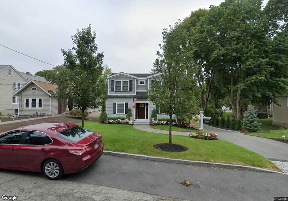
14 Manning Rd Waltham, MA 02452
North Waltham NeighborhoodEstimated Value: $808,000 - $933,000
3
Beds
2
Baths
1,597
Sq Ft
$540/Sq Ft
Est. Value
About This Home
This home is located at 14 Manning Rd, Waltham, MA 02452 and is currently estimated at $862,127, approximately $539 per square foot. 14 Manning Rd is a home located in Middlesex County with nearby schools including Northeast Elementary School, John F Kennedy Middle School, and Waltham Sr High School.
Ownership History
Date
Name
Owned For
Owner Type
Purchase Details
Closed on
Aug 8, 2017
Sold by
Donovan Daniel D
Bought by
Digiacomandrea Matthew W
Current Estimated Value
Home Financials for this Owner
Home Financials are based on the most recent Mortgage that was taken out on this home.
Original Mortgage
$529,237
Outstanding Balance
$440,891
Interest Rate
3.9%
Mortgage Type
FHA
Estimated Equity
$421,236
Purchase Details
Closed on
Jan 25, 1994
Sold by
Tupper Betty L Est
Bought by
Donovan Daniel D
Create a Home Valuation Report for This Property
The Home Valuation Report is an in-depth analysis detailing your home's value as well as a comparison with similar homes in the area
Home Values in the Area
Average Home Value in this Area
Purchase History
| Date | Buyer | Sale Price | Title Company |
|---|---|---|---|
| Digiacomandrea Matthew W | $539,000 | -- | |
| Donovan Daniel D | $159,000 | -- |
Source: Public Records
Mortgage History
| Date | Status | Borrower | Loan Amount |
|---|---|---|---|
| Open | Digiacomandrea Matthew W | $529,237 |
Source: Public Records
Tax History
| Year | Tax Paid | Tax Assessment Tax Assessment Total Assessment is a certain percentage of the fair market value that is determined by local assessors to be the total taxable value of land and additions on the property. | Land | Improvement |
|---|---|---|---|---|
| 2025 | $7,457 | $759,400 | $454,600 | $304,800 |
| 2024 | $7,065 | $732,900 | $433,300 | $299,600 |
| 2023 | $6,995 | $677,800 | $393,900 | $283,900 |
| 2022 | $7,269 | $652,500 | $386,100 | $266,400 |
| 2021 | $6,798 | $600,500 | $370,300 | $230,200 |
| 2020 | $6,780 | $567,400 | $346,700 | $220,700 |
| 2019 | $6,672 | $527,000 | $331,900 | $195,100 |
| 2018 | $6,150 | $487,700 | $307,300 | $180,400 |
| 2017 | $5,779 | $460,100 | $279,700 | $180,400 |
| 2016 | $5,487 | $448,300 | $267,900 | $180,400 |
| 2015 | $5,163 | $393,200 | $240,300 | $152,900 |
Source: Public Records
Map
Nearby Homes
- 100 Shirley Rd
- 43 S Cottage Rd Unit 43
- 43 Agassiz Ave
- 50 Moraine St
- 51 Harrington St Unit 51
- 256 Sycamore St Unit 256
- 43-43A Chandler St
- 40 Knowles Rd
- 144-146 White St
- 56 Ralph St Unit 3
- 910 Belmont St Unit 910
- 918 Belmont St
- 52 Hawthorne St Unit 1
- 17 Tennyson Rd
- 54 Clements Rd
- 9 Henry St Unit 9
- 78 Barbara Rd Unit 1
- 67 Longfellow Rd
- 38 Carey Ave Unit 3
- 38 Carey Ave Unit 6
- 12 Manning Rd
- 22 Manning Rd
- 8 Manning Rd
- 35 Upton Rd
- 26 Manning Rd
- 19 Upton Rd
- 15 Upton Rd
- 80 Trapelo Rd Unit 88
- 92 Trapelo Rd Unit 94
- 94 Trapelo Rd Unit 94
- 11 Upton Rd
- 41 Upton Rd
- 15 Manning Rd Unit D
- 15 Manning Rd Unit 5
- 15 Manning Rd Unit 4
- 15 Manning Rd Unit 3
- 15 Manning Rd Unit 2
- 15 Manning Rd Unit 1
- 15 Manning Rd
- 15 Manning Rd Unit A
Your Personal Tour Guide
Ask me questions while you tour the home.