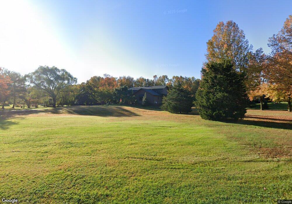
14 Marriott Dr Lumberton, NJ 08048
Estimated Value: $642,851 - $801,000
Studio
--
Bath
2,419
Sq Ft
$301/Sq Ft
Est. Value
About This Home
This home is located at 14 Marriott Dr, Lumberton, NJ 08048 and is currently estimated at $729,213, approximately $301 per square foot. 14 Marriott Dr is a home located in Burlington County with nearby schools including Ashbrook Elementary School, Bobby’s Run School, and Lumberton Middle School.
Ownership History
Date
Name
Owned For
Owner Type
Purchase Details
Closed on
Dec 17, 2001
Sold by
Maher Barbara and Framo Barbara
Bought by
Framo Barbara
Current Estimated Value
Home Financials for this Owner
Home Financials are based on the most recent Mortgage that was taken out on this home.
Original Mortgage
$236,500
Outstanding Balance
$21,911
Interest Rate
6.72%
Estimated Equity
$707,302
Purchase Details
Closed on
Apr 28, 1995
Sold by
Votta James A and Votta Rose Marie A
Bought by
Krause Michael and Krause Eileen J
Create a Home Valuation Report for This Property
The Home Valuation Report is an in-depth analysis detailing your home's value as well as a comparison with similar homes in the area
Home Values in the Area
Average Home Value in this Area
Purchase History
| Date | Buyer | Sale Price | Title Company |
|---|---|---|---|
| Framo Barbara | -- | Freedom Title & Abstract | |
| Krause Michael | $175,000 | Federation Title Agency Inc |
Source: Public Records
Mortgage History
| Date | Status | Borrower | Loan Amount |
|---|---|---|---|
| Open | Framo Barbara | $236,500 |
Source: Public Records
Tax History
| Year | Tax Paid | Tax Assessment Tax Assessment Total Assessment is a certain percentage of the fair market value that is determined by local assessors to be the total taxable value of land and additions on the property. | Land | Improvement |
|---|---|---|---|---|
| 2025 | $10,656 | $400,300 | $160,900 | $239,400 |
| 2024 | $10,020 | $400,300 | $160,900 | $239,400 |
| 2023 | $10,020 | $400,300 | $160,900 | $239,400 |
| 2022 | $9,787 | $400,300 | $160,900 | $239,400 |
| 2021 | $9,759 | $400,300 | $160,900 | $239,400 |
| 2020 | $9,675 | $400,300 | $160,900 | $239,400 |
| 2019 | $9,567 | $400,300 | $160,900 | $239,400 |
| 2018 | $9,423 | $400,300 | $160,900 | $239,400 |
| 2017 | $9,247 | $400,300 | $160,900 | $239,400 |
| 2016 | $9,047 | $400,300 | $160,900 | $239,400 |
| 2015 | $8,979 | $400,300 | $160,900 | $239,400 |
| 2014 | $8,638 | $400,300 | $160,900 | $239,400 |
Source: Public Records
Map
Nearby Homes
- 52 Phillips Rd
- 40 Phillips Rd
- 56 Phillips Rd
- 11 Stirling Way
- 15 Millway Rd
- 11 Chase Rd
- 4503A Albridge Way Unit 4503A
- 914 Hainesport Mount Laurel Rd
- 6 Easton Way
- 4108B Waterperry Ct Unit 4108B
- 9 Cloverdale Ct
- 2407 Shurlock Ct
- 2907A Tarnbrook Dr
- 2507A Shurlock Ct
- 9 Jazz Way
- 9 Cottonwood Dr
- 414 Bischoff Ave
- 2603A Yarmouth Ln Unit 2603
- 20 Jasmine Rd
- 505A Ralston Dr Unit A
Your Personal Tour Guide
Ask me questions while you tour the home.