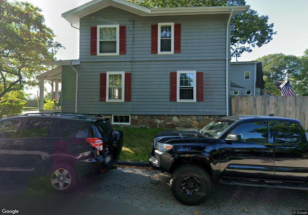
14 Marshfield St Gloucester, MA 01930
West Gloucester NeighborhoodEstimated Value: $611,000 - $678,000
3
Beds
2
Baths
1,516
Sq Ft
$425/Sq Ft
Est. Value
About This Home
This home is located at 14 Marshfield St, Gloucester, MA 01930 and is currently estimated at $643,761, approximately $424 per square foot. 14 Marshfield St is a home located in Essex County with nearby schools including West Parish, Ralph B O'maley Middle School, and Gloucester High School.
Ownership History
Date
Name
Owned For
Owner Type
Purchase Details
Closed on
Aug 16, 1990
Sold by
Mcfarland Albert M
Bought by
Meg Inc
Current Estimated Value
Home Financials for this Owner
Home Financials are based on the most recent Mortgage that was taken out on this home.
Original Mortgage
$150,000
Interest Rate
9.96%
Mortgage Type
Purchase Money Mortgage
Create a Home Valuation Report for This Property
The Home Valuation Report is an in-depth analysis detailing your home's value as well as a comparison with similar homes in the area
Home Values in the Area
Average Home Value in this Area
Purchase History
| Date | Buyer | Sale Price | Title Company |
|---|---|---|---|
| Meg Inc | $150,000 | -- |
Source: Public Records
Mortgage History
| Date | Status | Borrower | Loan Amount |
|---|---|---|---|
| Closed | Meg Inc | $150,000 | |
| Previous Owner | Meg Inc | $40,000 |
Source: Public Records
Tax History
| Year | Tax Paid | Tax Assessment Tax Assessment Total Assessment is a certain percentage of the fair market value that is determined by local assessors to be the total taxable value of land and additions on the property. | Land | Improvement |
|---|---|---|---|---|
| 2025 | $4,813 | $495,200 | $153,600 | $341,600 |
| 2024 | $4,747 | $487,900 | $146,300 | $341,600 |
| 2023 | $4,546 | $429,300 | $130,600 | $298,700 |
| 2022 | $4,406 | $375,600 | $113,600 | $262,000 |
| 2021 | $4,256 | $342,100 | $103,300 | $238,800 |
| 2020 | $4,189 | $339,700 | $103,300 | $236,400 |
| 2019 | $3,987 | $314,200 | $103,300 | $210,900 |
| 2018 | $3,826 | $295,900 | $103,300 | $192,600 |
| 2017 | $3,709 | $281,200 | $98,400 | $182,800 |
| 2016 | $3,618 | $265,800 | $102,600 | $163,200 |
| 2015 | $3,462 | $253,600 | $102,600 | $151,000 |
Source: Public Records
Map
Nearby Homes
- 5 Marshfield St
- 13 Leslie o Johnson Rd
- 145 Essex Ave Unit 402
- 15 Harvard St
- 24 Cobblestone Ln Unit 603
- 5 Lepage Ln
- 20 Beacon St
- 20 Beacon St Unit 2
- 20 Beacon St Unit 1
- 120 Washington St
- 33 Middle St
- 35 Middle St Unit 4
- 6 Monroe Ct
- 3 Rockland St
- 5 Samoset Rd Unit B
- 33 Maplewood Ave Unit 310
- 98 Maplewood Ave
- 191 Main St Unit 3
- 191 Main St Unit 2A
- 113 Pleasant St
- 12 Marshfield St
- 19 Bond St
- 17 Marshfield St
- 10 Marshfield St
- 17 Bond St
- 17 Bond St Unit 2
- 17 Bond St Unit 1
- 11 Marshfield St
- 23 Bond St
- 9 & 9R Marshfield St
- 9 & 9 1/2 Marshfield St
- 9 Marshfield St
- 19A Marshfield St
- 19 Marshfield St
- 19 Marshfield St Unit A
- 19R Marshfield St
- 19R Marshfield St
- 7 Marshfield St
- 22 Bond St
- 20 Bond St
Your Personal Tour Guide
Ask me questions while you tour the home.