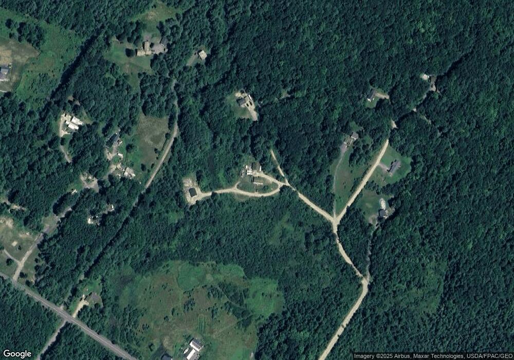
14 Meadow Brook Ln Buxton, ME 04093
Estimated Value: $461,000 - $562,000
3
Beds
2
Baths
1,008
Sq Ft
$501/Sq Ft
Est. Value
About This Home
This home is located at 14 Meadow Brook Ln, Buxton, ME 04093 and is currently estimated at $505,487, approximately $501 per square foot. 14 Meadow Brook Ln is a home with nearby schools including Bonny Eagle High School.
Ownership History
Date
Name
Owned For
Owner Type
Purchase Details
Closed on
Dec 7, 2018
Sold by
Paulsen Julie M and Paulsen Julie
Bought by
Paulsen Julie M and Paulsen Scott
Current Estimated Value
Home Financials for this Owner
Home Financials are based on the most recent Mortgage that was taken out on this home.
Original Mortgage
$145,850
Outstanding Balance
$114,028
Interest Rate
4.9%
Mortgage Type
New Conventional
Estimated Equity
$391,459
Create a Home Valuation Report for This Property
The Home Valuation Report is an in-depth analysis detailing your home's value as well as a comparison with similar homes in the area
Home Values in the Area
Average Home Value in this Area
Purchase History
| Date | Buyer | Sale Price | Title Company |
|---|---|---|---|
| Paulsen Julie M | -- | -- |
Source: Public Records
Mortgage History
| Date | Status | Borrower | Loan Amount |
|---|---|---|---|
| Open | Paulsen Julie M | $145,850 |
Source: Public Records
Tax History Compared to Growth
Tax History
| Year | Tax Paid | Tax Assessment Tax Assessment Total Assessment is a certain percentage of the fair market value that is determined by local assessors to be the total taxable value of land and additions on the property. | Land | Improvement |
|---|---|---|---|---|
| 2024 | $4,963 | $451,600 | $111,500 | $340,100 |
| 2023 | $4,710 | $451,600 | $111,500 | $340,100 |
| 2022 | $4,742 | $463,100 | $121,800 | $341,300 |
| 2021 | $4,186 | $313,767 | $86,800 | $226,967 |
| 2020 | $4,210 | $313,767 | $86,800 | $226,967 |
| 2019 | $4,136 | $279,100 | $86,800 | $192,300 |
| 2018 | $3,457 | $264,500 | $86,800 | $177,700 |
| 2017 | $3,057 | $244,800 | $86,800 | $158,000 |
| 2016 | $3,195 | $244,800 | $86,800 | $158,000 |
| 2015 | $3,170 | $244,800 | $86,800 | $158,000 |
| 2014 | $2,995 | $235,800 | $86,800 | $149,000 |
| 2013 | $2,948 | $235,800 | $86,800 | $149,000 |
Source: Public Records
Map
Nearby Homes
- Lot #13 Johnson Farm Rd
- 380 Portland Rd
- 9 Bonita Way
- 00 Deering Dr
- 1255 Long Plains Rd
- 7 Mathew Way
- 13 Mathew Way
- 10 Mathew Way
- 1228 Long Plains Rd
- 14 David Dr
- 20 River Woods
- 7 Julia Dr
- 15 Silver Brook Cir
- 430 Narragansett Trail
- 121 Rankin Rd
- 44 Evergreen Dr
- 30 Boreal Dr
- 48 Tickle Way
- 245 Narragansett St
- 12 Richard Rd
- 12 Meadow Brook Ln
- 28 Meadow Brook Ln
- 60 Tracy Rd
- 45 Tracy Rd
- 55 Tracy Rd
- 88 Tracy Rd
- 31 Bruce Woods Rd
- 60 Oak Creek
- 1542 Long Plains Rd
- 1520 Long Plains Rd
- 96 Tracy Rd
- 1500 Long Plains Rd
- 0 Tracy
- 00 Tracy Rd
- 4 Bruce Woods Rd
- 41 Pleasant Ridge Rd
- 35 Pleasant Ridge Rd
- 1564 Long Plains Rd
- 45 Pleasant Ridge Rd
- 46 Pleasant Ridge Rd
