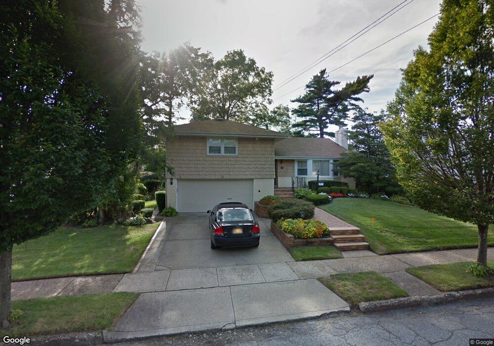
14 Meadow Ln Freeport, NY 11520
Estimated Value: $786,856 - $872,000
Studio
3
Baths
1,686
Sq Ft
$492/Sq Ft
Est. Value
About This Home
This home is located at 14 Meadow Ln, Freeport, NY 11520 and is currently estimated at $829,428, approximately $491 per square foot. 14 Meadow Ln is a home located in Nassau County with nearby schools including Baldwin Senior High School and Roosevelt Children's Academy.
Ownership History
Date
Name
Owned For
Owner Type
Purchase Details
Closed on
Nov 30, 2009
Sold by
Jones Frederick A and Edwards Valerie
Bought by
Atako David N and Atako Ann M
Current Estimated Value
Home Financials for this Owner
Home Financials are based on the most recent Mortgage that was taken out on this home.
Original Mortgage
$424,297
Outstanding Balance
$278,450
Interest Rate
5.02%
Mortgage Type
FHA
Estimated Equity
$550,978
Purchase Details
Closed on
Aug 22, 1995
Sold by
Pair Peggy
Bought by
Jones Frederick and Edwards Valerie
Create a Home Valuation Report for This Property
The Home Valuation Report is an in-depth analysis detailing your home's value as well as a comparison with similar homes in the area
Home Values in the Area
Average Home Value in this Area
Purchase History
| Date | Buyer | Sale Price | Title Company |
|---|---|---|---|
| Atako David N | -- | -- | |
| Jones Frederick | $195,000 | -- |
Source: Public Records
Mortgage History
| Date | Status | Borrower | Loan Amount |
|---|---|---|---|
| Open | Atako David N | $424,297 |
Source: Public Records
Tax History
| Year | Tax Paid | Tax Assessment Tax Assessment Total Assessment is a certain percentage of the fair market value that is determined by local assessors to be the total taxable value of land and additions on the property. | Land | Improvement |
|---|---|---|---|---|
| 2025 | $13,222 | $530 | $162 | $368 |
| 2024 | $1,234 | $530 | $162 | $368 |
Source: Public Records
Map
Nearby Homes
- 315 Maryland Ave
- 980 Wallace Ave
- 1 Willowbrook Ln
- 200 Evans Ave
- 938 Wallace Ave
- 156 Brookside Ave
- 915 Wallace Ave
- 139 New York Ave
- 1850 Voshage St
- 1503 Paul St
- 215 N Brookside Ave
- 89 Delaware Ave
- 365 Wallace St
- 1459 Prince St
- 1009 Centennial Ave
- 810 Wallace Ave
- 63 Prince Ave
- 858 Seaman Ave E
- 20 Sterling Place
- 1690 Grand Ave Unit A15
Your Personal Tour Guide
Ask me questions while you tour the home.