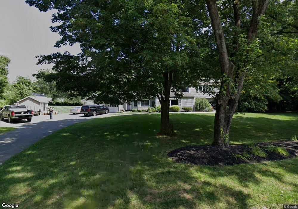
14 Meadowlark Rd West Simsbury, CT 06092
Estimated Value: $686,000 - $835,000
5
Beds
3
Baths
3,093
Sq Ft
$238/Sq Ft
Est. Value
About This Home
This home is located at 14 Meadowlark Rd, West Simsbury, CT 06092 and is currently estimated at $735,891, approximately $237 per square foot. 14 Meadowlark Rd is a home located in Hartford County with nearby schools including Tootin' Hills School, Henry James Memorial School, and Simsbury High School.
Ownership History
Date
Name
Owned For
Owner Type
Purchase Details
Closed on
Aug 9, 2018
Sold by
Starr Jonathan M and Cieslak Jessica S
Bought by
Starr Jonathan M and Starr Jessica C
Current Estimated Value
Purchase Details
Closed on
Jan 3, 2014
Sold by
Vignati Paul V and Vignati Susan H
Bought by
Cieslak Jessica S and Starr Jonathan M
Home Financials for this Owner
Home Financials are based on the most recent Mortgage that was taken out on this home.
Original Mortgage
$285,000
Interest Rate
4.24%
Purchase Details
Closed on
Jan 9, 1998
Sold by
Pendergast Paul
Bought by
Carr Kevin and Carr Randa
Purchase Details
Closed on
Mar 31, 1994
Sold by
Baker William and Baker Linda
Bought by
Vignati Paul and Vignati Susan
Create a Home Valuation Report for This Property
The Home Valuation Report is an in-depth analysis detailing your home's value as well as a comparison with similar homes in the area
Home Values in the Area
Average Home Value in this Area
Purchase History
| Date | Buyer | Sale Price | Title Company |
|---|---|---|---|
| Starr Jonathan M | -- | -- | |
| Cieslak Jessica S | $385,000 | -- | |
| Carr Kevin | $320,000 | -- | |
| Vignati Paul | $230,000 | -- |
Source: Public Records
Mortgage History
| Date | Status | Borrower | Loan Amount |
|---|---|---|---|
| Previous Owner | Vignati Paul | $135,000 | |
| Previous Owner | Vignati Paul | $285,000 | |
| Previous Owner | Vignati Paul | $290,124 |
Source: Public Records
Tax History Compared to Growth
Tax History
| Year | Tax Paid | Tax Assessment Tax Assessment Total Assessment is a certain percentage of the fair market value that is determined by local assessors to be the total taxable value of land and additions on the property. | Land | Improvement |
|---|---|---|---|---|
| 2025 | $12,554 | $367,500 | $82,670 | $284,830 |
| 2024 | $12,241 | $367,500 | $82,670 | $284,830 |
| 2023 | $11,694 | $367,500 | $82,670 | $284,830 |
| 2022 | $10,737 | $277,950 | $89,680 | $188,270 |
| 2021 | $10,737 | $277,950 | $89,680 | $188,270 |
| 2020 | $10,309 | $277,950 | $89,680 | $188,270 |
| 2019 | $10,373 | $277,950 | $89,680 | $188,270 |
| 2018 | $10,448 | $277,950 | $89,680 | $188,270 |
| 2017 | $9,933 | $256,260 | $87,430 | $168,830 |
| 2016 | $9,512 | $256,260 | $87,430 | $168,830 |
| 2015 | $9,512 | $256,260 | $87,430 | $168,830 |
| 2014 | $9,517 | $256,260 | $87,430 | $168,830 |
Source: Public Records
Map
Nearby Homes
- 18 Meadowlark Rd
- 5 Fox Den Rd
- 16 Stratton Forest Way
- 10 Sachems Trail
- 40 Firetown Rd Unit 39
- 302 Bushy Hill Rd
- 301 Bushy Hill Rd
- 3 Stebbins Brook Ln
- 141 Firetown Rd
- 1 West St Unit 206
- 48 Library Ln Unit 48
- 15 Sand Hill Rd
- 143 N Mountain Rd
- 25 Barry Ln
- 21 Christmas Tree Hill
- 23 Red Fox Run
- 308 Hopmeadow St
- 395 Bushy Hill Rd
- 269 W Mountain Rd
- 3 Minister Brook Dr
- 5 Farmstead Ln
- 10 Meadowlark Rd
- 9 Farmstead Ln
- 181 Farms Village Rd
- 15 Meadowlark Rd
- 1 Farmstead Ln
- 1 Farmstead Ln
- 15 Farmstead Ln
- 6 Meadowlark Rd
- 5 Meadowlark Rd
- 6 Farmstead Ln
- 10 Farmstead Ln
- 21 Meadowlark Rd
- 184 Farms Village Rd
- 173 Farms Village Rd
- 184 Farms Village Rd
- 23 Farmstead Ln
- 180 Farms Village Rd
- 29 Farmstead Ln
- 14 Farmstead Ln