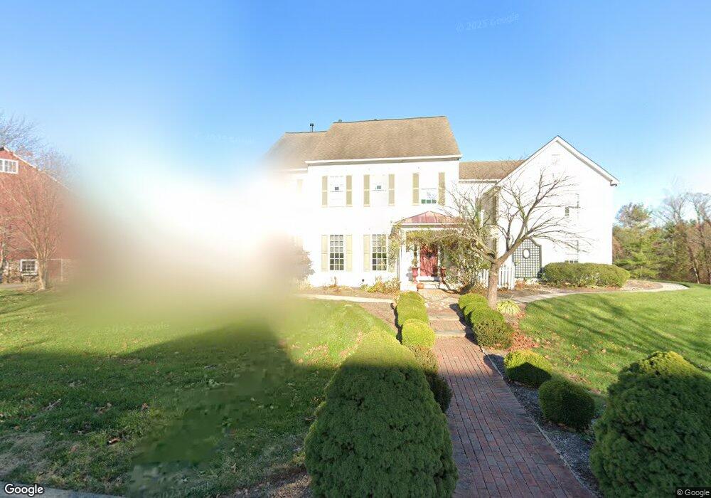
14 Millers Rd Newtown, PA 18940
Estimated Value: $1,394,072 - $1,775,000
4
Beds
4
Baths
4,000
Sq Ft
$403/Sq Ft
Est. Value
About This Home
This home is located at 14 Millers Rd, Newtown, PA 18940 and is currently estimated at $1,610,691, approximately $402 per square foot. 14 Millers Rd is a home located in Bucks County with nearby schools including Sol Feinstone Elementary School, Newtown Middle School, and Council Rock High School North.
Ownership History
Date
Name
Owned For
Owner Type
Purchase Details
Closed on
Oct 19, 2012
Sold by
Borge Julie E
Bought by
Borge Richard P and Borge Julie E
Current Estimated Value
Home Financials for this Owner
Home Financials are based on the most recent Mortgage that was taken out on this home.
Original Mortgage
$417,000
Outstanding Balance
$287,532
Interest Rate
3.42%
Mortgage Type
New Conventional
Estimated Equity
$1,323,159
Purchase Details
Closed on
Jul 10, 2009
Sold by
Borge Richard C and Borge Julie E
Bought by
Borge Julie E
Create a Home Valuation Report for This Property
The Home Valuation Report is an in-depth analysis detailing your home's value as well as a comparison with similar homes in the area
Home Values in the Area
Average Home Value in this Area
Purchase History
| Date | Buyer | Sale Price | Title Company |
|---|---|---|---|
| Borge Richard P | -- | Transtar National Title | |
| Borge Julie E | -- | None Available |
Source: Public Records
Mortgage History
| Date | Status | Borrower | Loan Amount |
|---|---|---|---|
| Open | Borge Richard P | $417,000 |
Source: Public Records
Tax History
| Year | Tax Paid | Tax Assessment Tax Assessment Total Assessment is a certain percentage of the fair market value that is determined by local assessors to be the total taxable value of land and additions on the property. | Land | Improvement |
|---|---|---|---|---|
| 2025 | $18,270 | $102,800 | $12,720 | $90,080 |
| 2024 | $18,270 | $102,800 | $12,720 | $90,080 |
| 2023 | $3,656 | $102,800 | $12,720 | $90,080 |
| 2022 | $17,142 | $102,800 | $12,720 | $90,080 |
| 2021 | $16,875 | $102,800 | $12,720 | $90,080 |
| 2020 | $16,063 | $102,800 | $12,720 | $90,080 |
| 2019 | $15,683 | $102,800 | $12,720 | $90,080 |
| 2018 | $15,385 | $102,800 | $12,720 | $90,080 |
| 2017 | $14,852 | $102,800 | $12,720 | $90,080 |
| 2016 | $14,749 | $102,800 | $12,720 | $90,080 |
| 2015 | -- | $102,800 | $12,720 | $90,080 |
| 2014 | -- | $102,800 | $12,720 | $90,080 |
Source: Public Records
Map
Nearby Homes
- 220 Stoopville Rd
- Lot 4 Ava Ct
- 271 Stoopville Rd
- 3206 Society Place
- 1405 Society Place
- 2034 Woodland Rd
- 95 Rittenhouse Cir Unit 92
- 19 Goldney Dr
- 805 Society Place Unit 8H1
- 7 Woodland Rd
- 7 Augusta Dr
- 0 Augusta Dr Unit KINGSWOOD
- 0 Augusta Dr Unit MAYWEATHER
- 0 Augusta Dr Unit RAINTREE
- 0 Augusta Dr Unit CLOVERFIELD
- 0 Augusta Dr Unit ROLLINS
- 0 Augusta Dr Unit LANEY
- 19 Augusta Dr
- 20 Augusta Dr
- 21 Augusta Dr
Your Personal Tour Guide
Ask me questions while you tour the home.