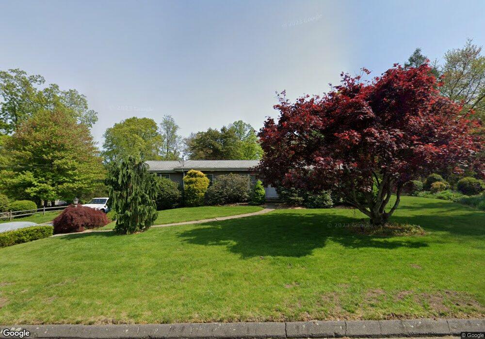
14 Mohawk Dr Easton, CT 06612
Estimated Value: $749,000 - $798,000
3
Beds
2
Baths
1,757
Sq Ft
$440/Sq Ft
Est. Value
About This Home
This home is located at 14 Mohawk Dr, Easton, CT 06612 and is currently estimated at $773,938, approximately $440 per square foot. 14 Mohawk Dr is a home located in Fairfield County with nearby schools including Samuel Staples Elementary School, Helen Keller Middle School, and Joel Barlow High School.
Ownership History
Date
Name
Owned For
Owner Type
Purchase Details
Closed on
May 16, 2001
Sold by
Atkins Linda L and Atkins Brent D
Bought by
Mceachern Brian
Current Estimated Value
Home Financials for this Owner
Home Financials are based on the most recent Mortgage that was taken out on this home.
Original Mortgage
$225,000
Interest Rate
7.03%
Purchase Details
Closed on
Aug 28, 1997
Sold by
Monk Susan K
Bought by
Atkins Brent D and Atkins Linda L
Purchase Details
Closed on
Jun 30, 1992
Sold by
Gribko Richard J
Bought by
Monk Robert K
Create a Home Valuation Report for This Property
The Home Valuation Report is an in-depth analysis detailing your home's value as well as a comparison with similar homes in the area
Home Values in the Area
Average Home Value in this Area
Purchase History
| Date | Buyer | Sale Price | Title Company |
|---|---|---|---|
| Mceachern Brian | $365,000 | -- | |
| Mceachern Brian | $365,000 | -- | |
| Atkins Brent D | $283,000 | -- | |
| Atkins Brent D | $283,000 | -- | |
| Monk Robert K | $240,750 | -- |
Source: Public Records
Mortgage History
| Date | Status | Borrower | Loan Amount |
|---|---|---|---|
| Open | Monk Robert K | $160,000 | |
| Closed | Monk Robert K | $225,000 |
Source: Public Records
Tax History Compared to Growth
Tax History
| Year | Tax Paid | Tax Assessment Tax Assessment Total Assessment is a certain percentage of the fair market value that is determined by local assessors to be the total taxable value of land and additions on the property. | Land | Improvement |
|---|---|---|---|---|
| 2025 | $10,123 | $326,550 | $195,300 | $131,250 |
| 2024 | $9,646 | $326,550 | $195,300 | $131,250 |
| 2023 | $9,457 | $326,550 | $195,300 | $131,250 |
| 2022 | $9,287 | $326,550 | $195,300 | $131,250 |
| 2021 | $8,673 | $268,100 | $191,850 | $76,250 |
| 2020 | $8,311 | $268,100 | $191,850 | $76,250 |
| 2019 | $8,400 | $268,100 | $191,850 | $76,250 |
| 2018 | $8,413 | $268,100 | $191,850 | $76,250 |
| 2017 | $8,949 | $268,100 | $191,850 | $76,250 |
| 2016 | $8,865 | $287,740 | $195,320 | $92,420 |
| 2015 | $8,742 | $287,740 | $195,320 | $92,420 |
| 2014 | $8,603 | $287,740 | $195,320 | $92,420 |
Source: Public Records
Map
Nearby Homes
- 68 High Ridge Rd
- 35 Sturbridge Rd
- 38 Chester Rd
- 63 Flat Rock Dr
- 16 Manor Ln
- 83 Buck Hill Rd
- 305 Sport Hill Rd
- 93 Tersana Dr
- 48 Sunset Rd
- 39 Sunset Rd
- 26 Wendy Rd
- 42 Wendy Rd
- 340 Morehouse Rd
- lot 194 Prospect Ave
- 132 Merrimac Dr
- 4293 Madison Ave
- 10 Aragon Dr
- 38 Smith Place
- 76 Hilary Cir Unit 76
- 34 Merrimac Dr
- 5 Mohawk Dr
- 11 Mohawk Dr
- 19 Mohawk Dr
- 79 High Ridge Rd
- 29 Mohawk Dr
- 95 High Ridge Rd
- 11 Hillside Dr
- 55 High Ridge Rd
- 30 Mohawk Dr
- 12 Hillside Dr
- 5 Ferndale Dr
- 20 Hillside Dr
- 103 High Ridge Rd
- 8 Ferndale Dr
- 56 High Ridge Rd
- 112 High Ridge Rd
- 45 High Ridge Rd
- 50 Morningside Dr
- 31 Hillside Dr
- 111 High Ridge Rd