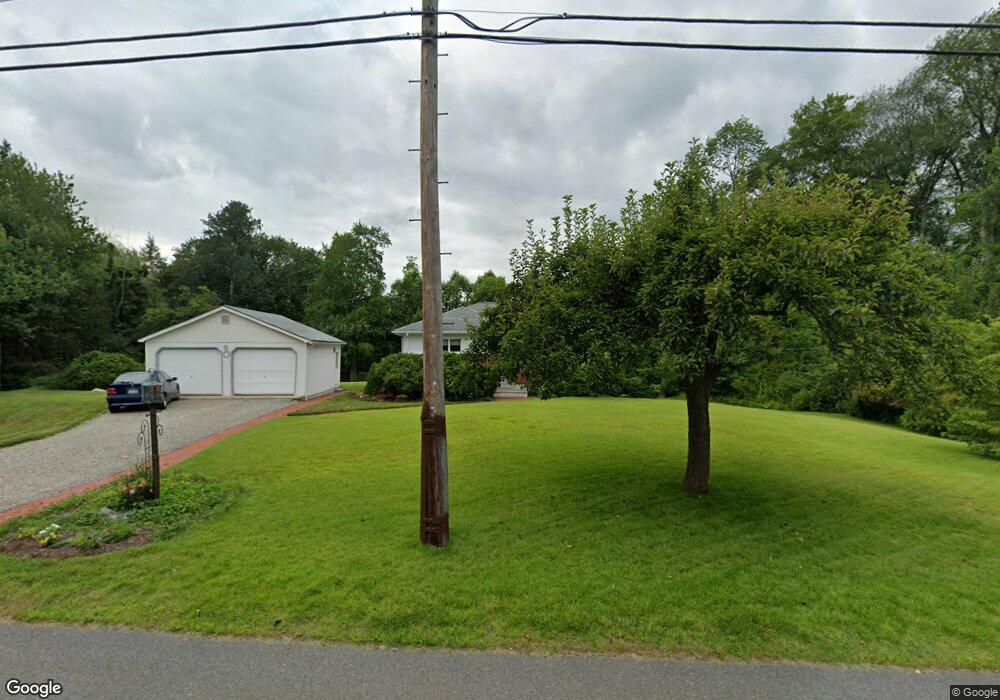
14 Morningside Ln Lincoln, MA 01773
Estimated Value: $866,000 - $1,046,000
3
Beds
1
Bath
1,607
Sq Ft
$595/Sq Ft
Est. Value
About This Home
This home is located at 14 Morningside Ln, Lincoln, MA 01773 and is currently estimated at $956,676, approximately $595 per square foot. 14 Morningside Ln is a home located in Middlesex County with nearby schools including Lincoln-Sudbury Regional High School, Tremont School, and Concord Academy.
Ownership History
Date
Name
Owned For
Owner Type
Purchase Details
Closed on
Aug 31, 1993
Sold by
Swanson Richard E and Swanson Nancy L
Bought by
Frank Espen and Frank Cynthia E
Current Estimated Value
Home Financials for this Owner
Home Financials are based on the most recent Mortgage that was taken out on this home.
Original Mortgage
$188,000
Interest Rate
7.06%
Mortgage Type
Purchase Money Mortgage
Create a Home Valuation Report for This Property
The Home Valuation Report is an in-depth analysis detailing your home's value as well as a comparison with similar homes in the area
Home Values in the Area
Average Home Value in this Area
Purchase History
| Date | Buyer | Sale Price | Title Company |
|---|---|---|---|
| Frank Espen | $235,000 | -- |
Source: Public Records
Mortgage History
| Date | Status | Borrower | Loan Amount |
|---|---|---|---|
| Open | Frank Espen | $163,000 | |
| Closed | Frank Espen | $188,000 |
Source: Public Records
Tax History Compared to Growth
Tax History
| Year | Tax Paid | Tax Assessment Tax Assessment Total Assessment is a certain percentage of the fair market value that is determined by local assessors to be the total taxable value of land and additions on the property. | Land | Improvement |
|---|---|---|---|---|
| 2025 | $113 | $884,600 | $666,700 | $217,900 |
| 2024 | $11,164 | $866,100 | $653,700 | $212,400 |
| 2023 | $11,091 | $796,800 | $602,100 | $194,700 |
| 2022 | $10,718 | $717,900 | $544,300 | $173,600 |
| 2021 | $12,636 | $641,000 | $481,600 | $159,400 |
| 2020 | $9,824 | $639,600 | $481,600 | $158,000 |
| 2019 | $0 | $610,400 | $466,500 | $143,900 |
| 2018 | $8,301 | $610,400 | $466,500 | $143,900 |
| 2017 | $0 | $582,900 | $440,400 | $142,500 |
| 2016 | $7,951 | $568,300 | $427,300 | $141,000 |
| 2015 | $7,553 | $533,800 | $395,600 | $138,200 |
| 2014 | $7,018 | $487,000 | $354,400 | $132,600 |
Source: Public Records
Map
Nearby Homes
- 29 S Commons Unit D
- 5 South Commons Unit D
- 36 Indian Camp Ln Unit D
- 16 Old Cambridge Turnpike
- 22 Old Cambridge Turnpike
- 241 Shadyside Ave
- 9 Garland Rd
- 10 Reiling Pond Rd
- 646 Cambridge Turnpike
- 84 Davison Dr
- 69 Page Rd
- 22 Lincoln Rd
- 8 Stratford Way
- 60 Baker Bridge Rd
- 44 Baker Bridge Rd
- 16 Hatch Farm Ln
- 10 Hatch Farm Ln
- 28 Hatch Farm Ln
- 96 Independence Rd
- 2663 Massachusetts Ave
- 15 Morningside Ln
- 12 Morningside Ln
- 20 Morningside Ln
- 17 Morningside Ln
- 10 Morningside Ln
- 23 Morningside Ln
- 26 Morningside Ln
- 26 Morningside Ln Unit 1
- 19 Morningside Ln
- 10 Bedford Ln
- 8 Bedford Ln
- 5 Morningside Ln
- 25 Morningside Ln
- 30 Morningside Ln
- 30 Morningside Ln
- 9 Bedford Ln
- 34 Morningside Ln
- 4 Morningside Ln
- 27 Morningside Ln
- 146 Bedford Rd