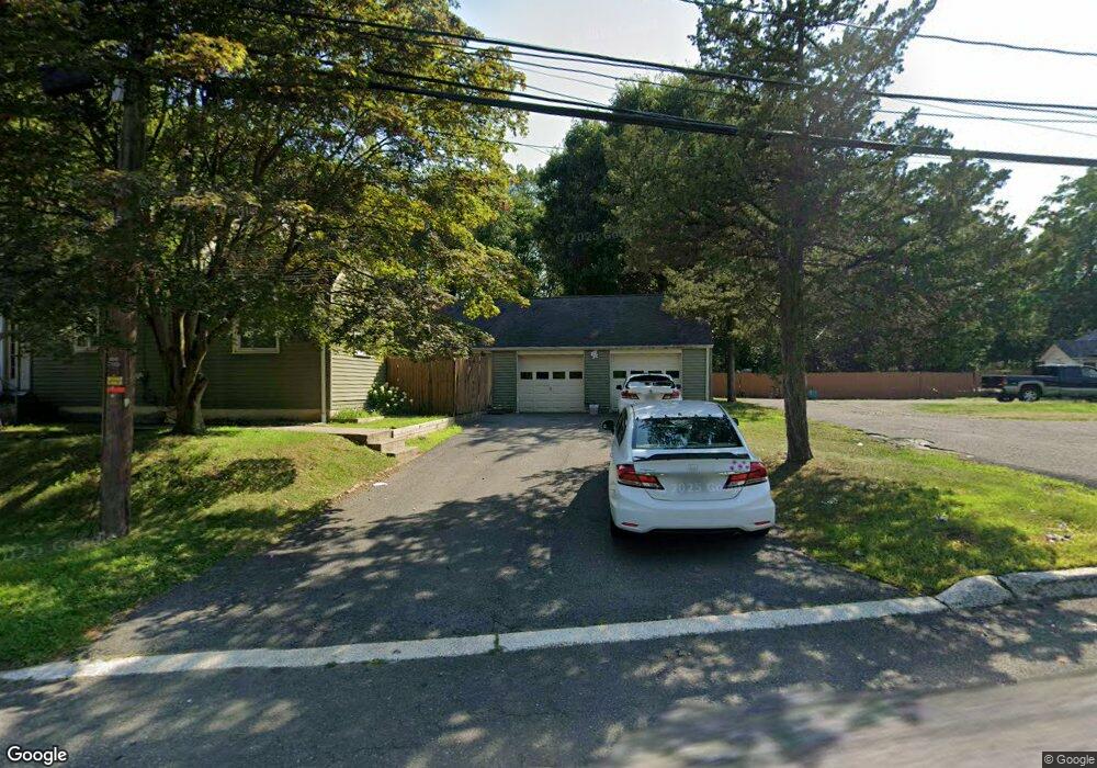
14 Mountainside Ave Mahwah, NJ 07430
Estimated Value: $681,000 - $915,000
4
Beds
3
Baths
1,374
Sq Ft
$560/Sq Ft
Est. Value
About This Home
This home is located at 14 Mountainside Ave, Mahwah, NJ 07430 and is currently estimated at $769,351, approximately $559 per square foot. 14 Mountainside Ave is a home located in Bergen County with nearby schools including Mahwah High School.
Ownership History
Date
Name
Owned For
Owner Type
Purchase Details
Closed on
Jul 31, 2020
Sold by
Marchesi Meredith and Estate Of Richard Marchesi
Bought by
Dourado Mizael F and Alcantara Luci
Current Estimated Value
Home Financials for this Owner
Home Financials are based on the most recent Mortgage that was taken out on this home.
Original Mortgage
$307,500
Interest Rate
2.9%
Mortgage Type
New Conventional
Purchase Details
Closed on
Oct 4, 2005
Sold by
Reeder Donald
Bought by
Macri Meredith
Home Financials for this Owner
Home Financials are based on the most recent Mortgage that was taken out on this home.
Original Mortgage
$292,800
Interest Rate
5.78%
Purchase Details
Closed on
Aug 14, 2002
Sold by
Roe Robert R
Bought by
Marchesi Richard
Home Financials for this Owner
Home Financials are based on the most recent Mortgage that was taken out on this home.
Original Mortgage
$229,500
Interest Rate
6.57%
Create a Home Valuation Report for This Property
The Home Valuation Report is an in-depth analysis detailing your home's value as well as a comparison with similar homes in the area
Home Values in the Area
Average Home Value in this Area
Purchase History
| Date | Buyer | Sale Price | Title Company |
|---|---|---|---|
| Dourado Mizael F | $650,000 | Westcor Land Title Ins Co | |
| Macri Meredith | $366,000 | -- | |
| Marchesi Richard | $255,000 | -- |
Source: Public Records
Mortgage History
| Date | Status | Borrower | Loan Amount |
|---|---|---|---|
| Previous Owner | Dourado Mizael F | $307,500 | |
| Previous Owner | Macri Meredith | $292,800 | |
| Previous Owner | Marchesi Richard | $229,500 |
Source: Public Records
Tax History Compared to Growth
Tax History
| Year | Tax Paid | Tax Assessment Tax Assessment Total Assessment is a certain percentage of the fair market value that is determined by local assessors to be the total taxable value of land and additions on the property. | Land | Improvement |
|---|---|---|---|---|
| 2025 | $7,649 | $370,600 | $239,800 | $130,800 |
| 2024 | $7,549 | $370,600 | $239,800 | $130,800 |
| 2023 | $7,308 | $370,600 | $239,800 | $130,800 |
| 2022 | $7,308 | $370,600 | $239,800 | $130,800 |
| 2021 | $7,230 | $370,600 | $239,800 | $130,800 |
| 2020 | $7,056 | $370,600 | $239,800 | $130,800 |
| 2019 | $6,823 | $370,600 | $239,800 | $130,800 |
| 2018 | $6,726 | $370,600 | $239,800 | $130,800 |
| 2017 | $6,619 | $370,600 | $239,800 | $130,800 |
| 2016 | $6,474 | $370,600 | $239,800 | $130,800 |
| 2015 | $6,385 | $370,600 | $239,800 | $130,800 |
| 2014 | $6,278 | $370,600 | $239,800 | $130,800 |
Source: Public Records
Map
Nearby Homes
- 18 Avenue A
- 36 Hines Ave
- 128 Grove St
- 145 Catherine Ave
- 136 Catherine Ave
- 13 Jersey Ave
- 38 N Railroad Ave
- 34 N Railroad Ave
- 0 Stag Hill Rd
- 79 N Ramapo Ave
- 142 Island Rd
- 23 Meadow Ave
- 17 W Maple Ave
- 172 Orange Ave
- 25 Rockland Terrace
- 11 Split Rock Rd
- 102 Washington Ave
- 24 Rockland Terrace
- 59 E Maple Ave
- 609 Glasmere Rd
- 12 Mountainside Ave
- 11 Mountainside Ave
- 9 Mountainside Ave
- 7 Mountainside Ave
- 10 Mountainside Ave
- 5 Mountainside Ave
- 0 Mountain Land Unit 3745538
- 0 Mountain Land Unit 3700975
- 0 Mountain Land Unit 1835033
- 0 Mountain Land Unit 1849549
- 0 Mountain Land Unit 3496229
- 3 Mountainside Ave
- 1 Mountainside Ave
- 0 Route 17n Unit 3730660
- 21 Clovebrook Rd
- 7 Clovebrook Rd
- 7 Clove Brook Rd
- 1106 Ramapo Brae Ln
- 223 Clark St
- 1105 Ramapo Brae Ln