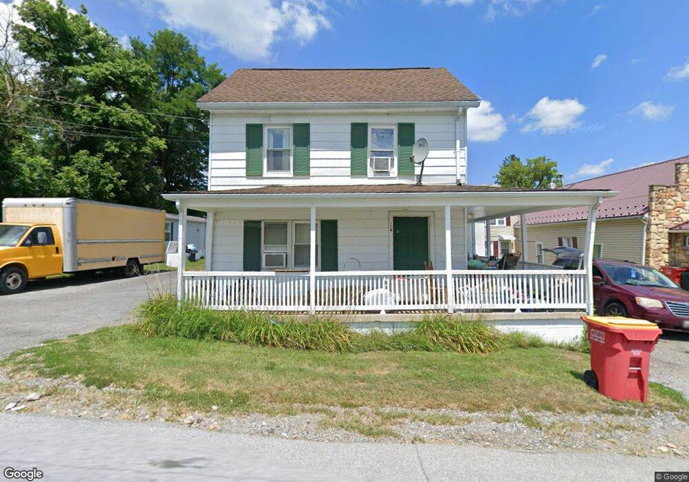
14 Mulberry Street B Clear Spring, MD 21722
Estimated Value: $272,421 - $1,196,000
--
Bed
2
Baths
1,346
Sq Ft
$394/Sq Ft
Est. Value
About This Home
This home is located at 14 Mulberry Street B, Clear Spring, MD 21722 and is currently estimated at $530,855, approximately $394 per square foot. 14 Mulberry Street B is a home located in Washington County with nearby schools including Clear Spring Elementary School, Clear Spring Middle School, and Clear Spring High School.
Ownership History
Date
Name
Owned For
Owner Type
Purchase Details
Closed on
Dec 27, 2023
Sold by
Petre Filip
Bought by
Mark Richard Rentals Llc
Current Estimated Value
Purchase Details
Closed on
May 1, 2003
Sold by
Sylvester Roy A
Bought by
Petre Filip
Purchase Details
Closed on
Dec 11, 1998
Sold by
Marie Taylor F and Marie Albert
Bought by
Sylvester Roy A
Create a Home Valuation Report for This Property
The Home Valuation Report is an in-depth analysis detailing your home's value as well as a comparison with similar homes in the area
Home Values in the Area
Average Home Value in this Area
Purchase History
| Date | Buyer | Sale Price | Title Company |
|---|---|---|---|
| Mark Richard Rentals Llc | -- | None Listed On Document | |
| Petre Filip | $100,000 | -- | |
| Sylvester Roy A | $100,000 | -- |
Source: Public Records
Mortgage History
| Date | Status | Borrower | Loan Amount |
|---|---|---|---|
| Closed | Sylvester Roy A | -- |
Source: Public Records
Tax History Compared to Growth
Tax History
| Year | Tax Paid | Tax Assessment Tax Assessment Total Assessment is a certain percentage of the fair market value that is determined by local assessors to be the total taxable value of land and additions on the property. | Land | Improvement |
|---|---|---|---|---|
| 2025 | $1,749 | $213,667 | $0 | $0 |
| 2024 | $1,749 | $192,033 | $0 | $0 |
| 2023 | $1,552 | $170,400 | $77,700 | $92,700 |
| 2022 | $1,518 | $166,600 | $0 | $0 |
| 2021 | $1,522 | $162,800 | $0 | $0 |
| 2020 | $1,480 | $159,000 | $77,700 | $81,300 |
| 2019 | $1,487 | $159,000 | $77,700 | $81,300 |
| 2018 | $1,487 | $159,000 | $77,700 | $81,300 |
| 2017 | $1,513 | $161,800 | $0 | $0 |
| 2016 | -- | $160,200 | $0 | $0 |
| 2015 | -- | $158,633 | $0 | $0 |
| 2014 | $1,388 | $157,000 | $0 | $0 |
Source: Public Records
Map
Nearby Homes
- 154 Cumberland St
- 12343 Big Spring Rd
- 20 N Martin St
- 13407 Rhodes Ct
- 0 Boyd Rd Unit MDWA2028012
- 13013 Draper Rd
- 13140 Blairs Valley Rd
- 12530 Ashton Rd
- 11737 Ashton Rd
- 0 National Pike Unit MDWA2025232
- 11868 National Pike
- 11705 Ashton Rd
- 12524 Big Pool Rd
- 11431 Ashton Rd
- 13609 Blairs Valley Rd
- 13707 Blairs Valley Rd
- 11430 National Pike
- Block 139 Lot 56 Boo Blvd
- 11915 Cove Rd
- 11408 National Pike
- 14 Mulberry St
- 0 Mulberry St
- 20 Mulberry St
- 10 Mulberry St
- 132 S Hawbaker Cir
- 132 S Hawbaker Cir
- 120 S Hawbaker Cir
- 120 Hawbaker Circle B S
- 9 Mulberry St
- 120 S Hawbaker Cir
- 135 Cumberland 137 St
- 141 Cumberland St
- 135 E Cumberland St
- 121 Cumberland St
- 22 S Martin St
- 131 Cumberland St
- 131 Cumberland St Unit 4
- 131 Cumberland St Unit 1
- 131 Cumberland St Unit 3
- 151 Cumberland St