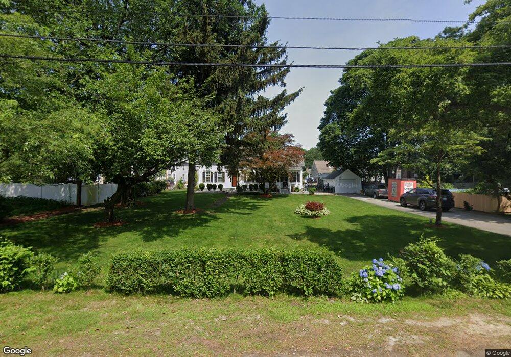
14 Newport St Providence, RI 02904
Wanskuck NeighborhoodEstimated Value: $439,268 - $516,000
4
Beds
2
Baths
1,984
Sq Ft
$240/Sq Ft
Est. Value
About This Home
This home is located at 14 Newport St, Providence, RI 02904 and is currently estimated at $477,067, approximately $240 per square foot. 14 Newport St is a home located in Providence County with nearby schools including Asa Messer Elementary School, Charles N. Fortes Elementary School, and Veazie Street Elementary School.
Ownership History
Date
Name
Owned For
Owner Type
Purchase Details
Closed on
Aug 3, 2010
Sold by
Carloni Dolores E
Bought by
Jackson Carnell J
Current Estimated Value
Home Financials for this Owner
Home Financials are based on the most recent Mortgage that was taken out on this home.
Original Mortgage
$165,767
Outstanding Balance
$110,484
Interest Rate
4.78%
Mortgage Type
Purchase Money Mortgage
Estimated Equity
$366,583
Create a Home Valuation Report for This Property
The Home Valuation Report is an in-depth analysis detailing your home's value as well as a comparison with similar homes in the area
Home Values in the Area
Average Home Value in this Area
Purchase History
| Date | Buyer | Sale Price | Title Company |
|---|---|---|---|
| Jackson Carnell J | $168,000 | -- |
Source: Public Records
Mortgage History
| Date | Status | Borrower | Loan Amount |
|---|---|---|---|
| Open | Jackson Carnell J | $17,400 | |
| Closed | Jackson Carnell J | $9,500 | |
| Open | Jackson Carnell J | $165,767 | |
| Closed | Jackson Carnell J | $2,500 |
Source: Public Records
Tax History Compared to Growth
Tax History
| Year | Tax Paid | Tax Assessment Tax Assessment Total Assessment is a certain percentage of the fair market value that is determined by local assessors to be the total taxable value of land and additions on the property. | Land | Improvement |
|---|---|---|---|---|
| 2025 | $3,613 | $430,100 | $145,600 | $284,500 |
| 2024 | $5,927 | $323,000 | $86,400 | $236,600 |
| 2023 | $5,927 | $323,000 | $86,400 | $236,600 |
| 2022 | $5,749 | $323,000 | $86,400 | $236,600 |
| 2021 | $6,305 | $256,700 | $83,600 | $173,100 |
| 2020 | $6,305 | $256,700 | $83,600 | $173,100 |
| 2019 | $6,305 | $256,700 | $83,600 | $173,100 |
| 2018 | $4,756 | $148,800 | $60,700 | $88,100 |
| 2017 | $4,756 | $148,800 | $60,700 | $88,100 |
| 2016 | $4,756 | $148,800 | $60,700 | $88,100 |
| 2015 | $5,309 | $160,400 | $75,900 | $84,500 |
| 2014 | $5,414 | $160,400 | $75,900 | $84,500 |
| 2013 | $5,414 | $160,400 | $75,900 | $84,500 |
Source: Public Records
Map
Nearby Homes
- 149 Woodward Rd
- 199 Langdon St
- 10 Burleigh St Unit 9
- 3 Victor Emanuel Ave
- 16 Raphael Ave
- 874 Branch Ave
- 56 Hyacinth St
- 17 Hagan St
- 41 Henrietta St
- 559 Branch Ave
- 817 Charles St
- 862 Charles St
- 555 Branch Ave
- 272 Veazie St
- 47 Vandewater St
- 37 Hurdis St
- 111 Raphael Ave
- 825 Douglas Ave
- 20 Hurdis St Unit 6
- 93 Paul St