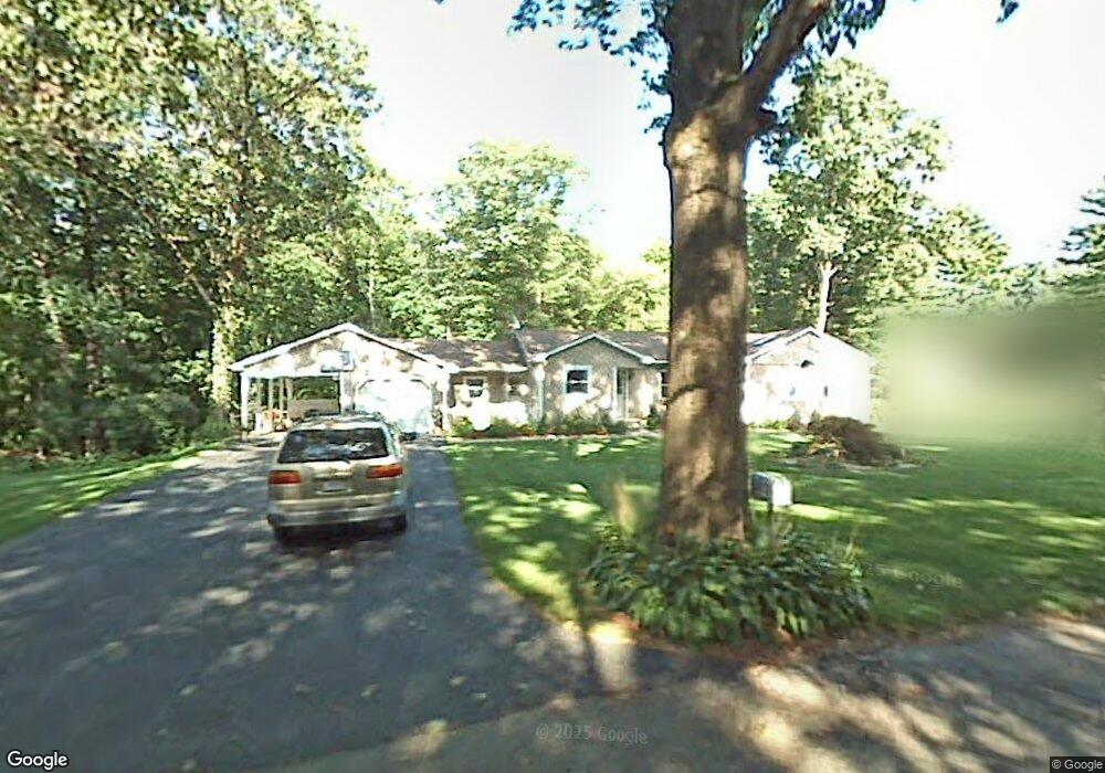
14 Nokomis Rd Wilbraham, MA 01095
Estimated Value: $332,000 - $430,000
2
Beds
1
Bath
958
Sq Ft
$391/Sq Ft
Est. Value
About This Home
This home is located at 14 Nokomis Rd, Wilbraham, MA 01095 and is currently estimated at $374,980, approximately $391 per square foot. 14 Nokomis Rd is a home located in Hampden County with nearby schools including Minnechaug Regional High School and Wilbraham & Monson Academy.
Ownership History
Date
Name
Owned For
Owner Type
Purchase Details
Closed on
May 10, 2000
Sold by
Louder Sandra S
Bought by
Skoczylas Stanislaw M and Skoczylas Barbara
Current Estimated Value
Home Financials for this Owner
Home Financials are based on the most recent Mortgage that was taken out on this home.
Original Mortgage
$75,000
Interest Rate
8.21%
Mortgage Type
Purchase Money Mortgage
Purchase Details
Closed on
Jan 23, 1998
Sold by
Lachapelle Jeannine R
Bought by
Louder Sandra S
Home Financials for this Owner
Home Financials are based on the most recent Mortgage that was taken out on this home.
Original Mortgage
$45,000
Interest Rate
7.11%
Mortgage Type
Purchase Money Mortgage
Create a Home Valuation Report for This Property
The Home Valuation Report is an in-depth analysis detailing your home's value as well as a comparison with similar homes in the area
Home Values in the Area
Average Home Value in this Area
Purchase History
| Date | Buyer | Sale Price | Title Company |
|---|---|---|---|
| Skoczylas Stanislaw M | $100,000 | -- | |
| Louder Sandra S | $100,000 | -- |
Source: Public Records
Mortgage History
| Date | Status | Borrower | Loan Amount |
|---|---|---|---|
| Open | Louder Sandra S | $128,800 | |
| Closed | Louder Sandra S | $75,000 | |
| Closed | Louder Sandra S | $75,000 | |
| Previous Owner | Louder Sandra S | $45,000 |
Source: Public Records
Tax History Compared to Growth
Tax History
| Year | Tax Paid | Tax Assessment Tax Assessment Total Assessment is a certain percentage of the fair market value that is determined by local assessors to be the total taxable value of land and additions on the property. | Land | Improvement |
|---|---|---|---|---|
| 2025 | $5,048 | $282,300 | $76,700 | $205,600 |
| 2024 | $4,760 | $257,300 | $76,700 | $180,600 |
| 2023 | $4,430 | $244,100 | $76,700 | $167,400 |
| 2022 | $4,430 | $216,200 | $76,700 | $139,500 |
| 2021 | $4,275 | $186,200 | $83,100 | $103,100 |
| 2020 | $4,167 | $186,200 | $83,100 | $103,100 |
| 2019 | $4,061 | $186,300 | $83,100 | $103,200 |
| 2018 | $3,874 | $171,100 | $83,100 | $88,000 |
| 2017 | $3,764 | $171,100 | $83,100 | $88,000 |
| 2016 | $3,501 | $162,100 | $82,200 | $79,900 |
| 2015 | $3,385 | $162,100 | $82,200 | $79,900 |
Source: Public Records
Map
Nearby Homes
- 2 Vista Rd
- 35 Lake Dr
- 4 Hillcrest Dr
- 54 High Pine Cir
- 69 High Pine Cir
- 46 Washington Rd
- 88-90 Miller St
- 182 Mountain Rd
- 28 Decorie Dr
- 20 Old Orchard Rd
- 229 Miller St Unit F-13
- 229 Miller St Unit C-1
- 229 Miller St Unit B2
- 38 King Dr
- 474-480 Mountain Rd
- 22 Balsam Hill Rd
- 2 Bayberry Dr Unit 51
- 19 Linwood Dr
- 319 Ventura St
- 51 Newcrest St