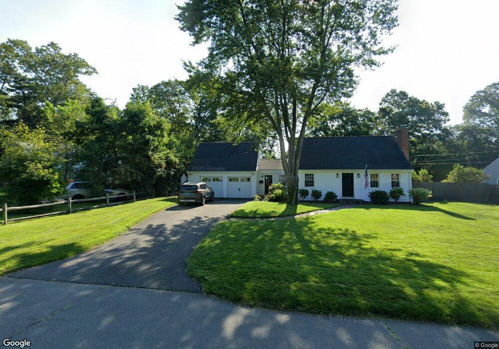
14 Northfield Rd Simsbury, CT 06070
Estimated Value: $482,545 - $551,000
4
Beds
3
Baths
1,984
Sq Ft
$261/Sq Ft
Est. Value
About This Home
This home is located at 14 Northfield Rd, Simsbury, CT 06070 and is currently estimated at $518,636, approximately $261 per square foot. 14 Northfield Rd is a home located in Hartford County with nearby schools including Central School, Henry James Memorial School, and Simsbury High School.
Ownership History
Date
Name
Owned For
Owner Type
Purchase Details
Closed on
Dec 21, 2010
Sold by
Burell Ft and Burrell
Bought by
Burrell Ryan Parker
Current Estimated Value
Home Financials for this Owner
Home Financials are based on the most recent Mortgage that was taken out on this home.
Original Mortgage
$215,250
Outstanding Balance
$139,008
Interest Rate
3.63%
Estimated Equity
$379,628
Purchase Details
Closed on
Mar 29, 1996
Sold by
Perry Duane and Perry Ruth
Bought by
Matteo Edward and Matteo Mariz
Create a Home Valuation Report for This Property
The Home Valuation Report is an in-depth analysis detailing your home's value as well as a comparison with similar homes in the area
Home Values in the Area
Average Home Value in this Area
Purchase History
| Date | Buyer | Sale Price | Title Company |
|---|---|---|---|
| Burrell Ryan Parker | -- | -- | |
| Matteo Edward | $146,200 | -- |
Source: Public Records
Mortgage History
| Date | Status | Borrower | Loan Amount |
|---|---|---|---|
| Open | Matteo Edward | $59,000 | |
| Open | Matteo Edward | $215,250 | |
| Previous Owner | Matteo Edward | $109,000 | |
| Previous Owner | Matteo Edward | $150,000 |
Source: Public Records
Tax History Compared to Growth
Tax History
| Year | Tax Paid | Tax Assessment Tax Assessment Total Assessment is a certain percentage of the fair market value that is determined by local assessors to be the total taxable value of land and additions on the property. | Land | Improvement |
|---|---|---|---|---|
| 2025 | $7,551 | $221,060 | $70,070 | $150,990 |
| 2024 | $7,364 | $221,060 | $70,070 | $150,990 |
| 2023 | $7,034 | $221,060 | $70,070 | $150,990 |
| 2022 | $6,368 | $164,840 | $79,440 | $85,400 |
| 2021 | $6,368 | $164,840 | $79,440 | $85,400 |
| 2020 | $6,114 | $164,840 | $79,440 | $85,400 |
| 2019 | $6,152 | $164,840 | $79,440 | $85,400 |
| 2018 | $6,196 | $164,840 | $79,440 | $85,400 |
| 2017 | $5,938 | $153,200 | $79,440 | $73,760 |
| 2016 | $5,687 | $153,200 | $79,440 | $73,760 |
| 2015 | $5,687 | $153,200 | $79,440 | $73,760 |
| 2014 | $5,690 | $153,200 | $79,440 | $73,760 |
Source: Public Records
Map
Nearby Homes
- 25 Barry Ln
- 26 Winterset Ln
- 48 Library Ln Unit 48
- 40 Firetown Rd Unit 39
- 9 Gretel Ln
- 45 Hoskins Rd
- 2 North Dr
- 324 Firetown Rd
- 87 Cambridge Ct
- 19 Simsbury Landing
- 69 Cambridge Ct
- 15 Pinnacle Mountain Rd
- 10 Pepperidge Ct
- 24 Hunting Ridge Dr
- 3 Stebbins Brook Ln
- 4 Stebbins Brook Ln
- 16 Stratton Forest Way
- 7 Tamarack Ln
- 14 Gordon St
- 158 Tariffville Rd