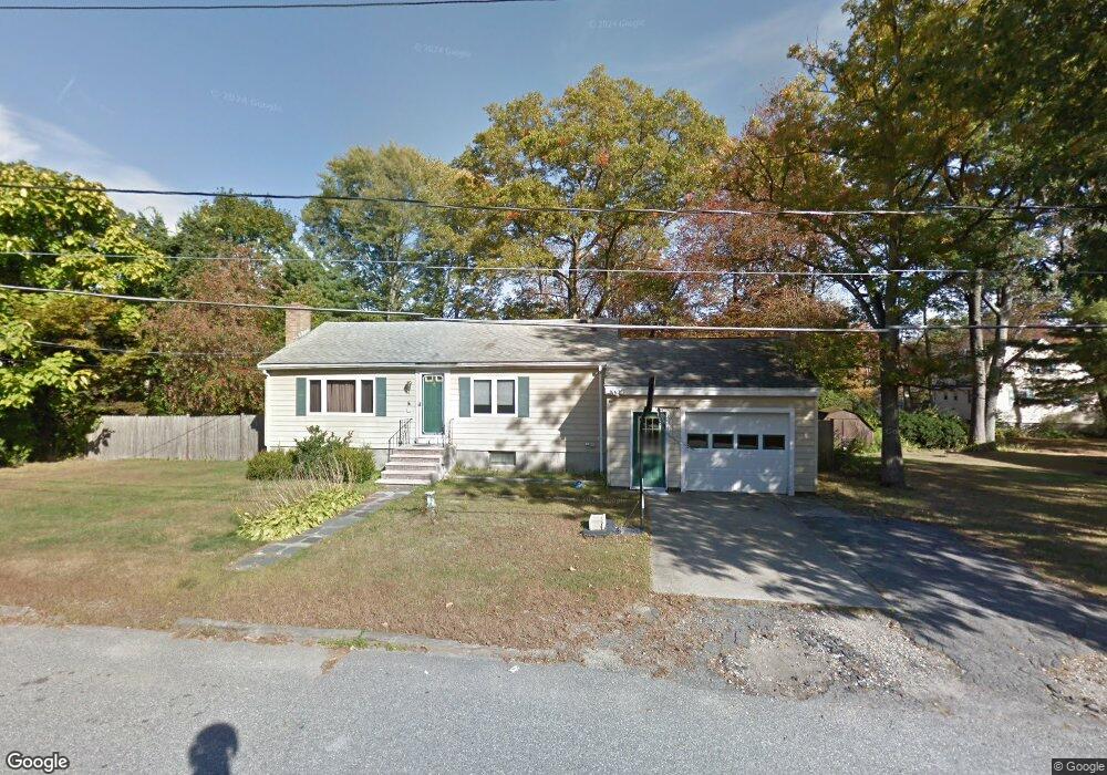
14 Oakdale Rd Wilmington, MA 01887
North Wilmington NeighborhoodEstimated Value: $595,265 - $1,604,000
3
Beds
1
Bath
912
Sq Ft
$939/Sq Ft
Est. Value
About This Home
This home is located at 14 Oakdale Rd, Wilmington, MA 01887 and is currently estimated at $856,566, approximately $939 per square foot. 14 Oakdale Rd is a home located in Middlesex County with nearby schools including Wilmington Middle School, Wilmington High School, and Abundant Life Christian School and Childcare.
Ownership History
Date
Name
Owned For
Owner Type
Purchase Details
Closed on
Jul 30, 1999
Sold by
Murphy Scott T
Bought by
Lacambria John M
Current Estimated Value
Home Financials for this Owner
Home Financials are based on the most recent Mortgage that was taken out on this home.
Original Mortgage
$156,000
Outstanding Balance
$44,689
Interest Rate
7.61%
Mortgage Type
Purchase Money Mortgage
Estimated Equity
$811,877
Purchase Details
Closed on
Nov 30, 1994
Sold by
Perella Joseph and Perella Susan
Bought by
Murphy Scott T
Home Financials for this Owner
Home Financials are based on the most recent Mortgage that was taken out on this home.
Original Mortgage
$103,200
Interest Rate
8.81%
Mortgage Type
Purchase Money Mortgage
Create a Home Valuation Report for This Property
The Home Valuation Report is an in-depth analysis detailing your home's value as well as a comparison with similar homes in the area
Home Values in the Area
Average Home Value in this Area
Purchase History
| Date | Buyer | Sale Price | Title Company |
|---|---|---|---|
| Lacambria John M | $195,000 | -- | |
| Murphy Scott T | $129,000 | -- |
Source: Public Records
Mortgage History
| Date | Status | Borrower | Loan Amount |
|---|---|---|---|
| Open | Murphy Scott T | $156,000 | |
| Previous Owner | Murphy Scott T | $110,000 | |
| Previous Owner | Murphy Scott T | $103,200 |
Source: Public Records
Tax History Compared to Growth
Tax History
| Year | Tax Paid | Tax Assessment Tax Assessment Total Assessment is a certain percentage of the fair market value that is determined by local assessors to be the total taxable value of land and additions on the property. | Land | Improvement |
|---|---|---|---|---|
| 2025 | $6,086 | $531,500 | $305,800 | $225,700 |
| 2024 | $5,873 | $513,800 | $305,800 | $208,000 |
| 2023 | $5,680 | $475,700 | $278,100 | $197,600 |
| 2022 | $5,363 | $411,600 | $231,700 | $179,900 |
| 2021 | $5,319 | $384,300 | $210,600 | $173,700 |
| 2020 | $5,041 | $371,200 | $210,600 | $160,600 |
| 2019 | $4,950 | $360,000 | $200,400 | $159,600 |
| 2018 | $4,640 | $322,000 | $191,000 | $131,000 |
| 2017 | $4,517 | $312,600 | $191,000 | $121,600 |
| 2016 | $4,330 | $296,000 | $182,000 | $114,000 |
| 2015 | $4,117 | $286,500 | $182,000 | $104,500 |
| 2014 | $3,836 | $269,400 | $173,400 | $96,000 |
Source: Public Records
Map
Nearby Homes
- 16 Oakdale Rd
- 26 Shady Lane Dr
- 28 Shady Lane Dr
- 17 Oakdale Rd
- 24 Shady Lane Dr
- 18 Oakdale Rd
- 27 Shady Lane Dr
- 25 Shady Lane Dr
- 30 Shady Lane Dr
- 12 Birchwood Rd
- 19 Oakdale Rd
- 10 Birchwood Rd
- 22 Shady Lane Dr
- 20 Oakdale Rd
- 23 Shady Lane Dr
- 21 Shady Lane Dr
- 21 Oakdale Rd
- 9 Oakdale Rd
- 31 Shady Lane Dr
- 32 Shady Lane Dr