14 Ocean Park Way West Dennis, MA 2670
West Dennis NeighborhoodEstimated Value: $1,122,000 - $1,569,000
2
Beds
2
Baths
1,509
Sq Ft
$935/Sq Ft
Est. Value
About This Home
This home is located at 14 Ocean Park Way, West Dennis, MA 2670 and is currently estimated at $1,411,226, approximately $935 per square foot. 14 Ocean Park Way is a home located in Barnstable County with nearby schools including Dennis-Yarmouth Regional High School and St. Pius X. School.
Ownership History
Date
Name
Owned For
Owner Type
Purchase Details
Closed on
Mar 30, 2022
Sold by
Kelly Cheryl W
Bought by
Cheryl W Kelly 2010 Ret
Current Estimated Value
Purchase Details
Closed on
Jul 11, 1997
Sold by
Howard John E and Howard Eleanor M
Bought by
Kelly Joseph E and Kelly Cheryl W
Create a Home Valuation Report for This Property
The Home Valuation Report is an in-depth analysis detailing your home's value as well as a comparison with similar homes in the area
Home Values in the Area
Average Home Value in this Area
Purchase History
| Date | Buyer | Sale Price | Title Company |
|---|---|---|---|
| Cheryl W Kelly 2010 Ret | -- | None Available | |
| Joseph E Kelly 2010 Ret | -- | None Available | |
| Kelly Joseph E | -- | None Available | |
| Kelly Joseph E | -- | None Available | |
| Kelly Joseph E | $167,000 | -- |
Source: Public Records
Mortgage History
| Date | Status | Borrower | Loan Amount |
|---|---|---|---|
| Previous Owner | Kelly Joseph E | $450,000 | |
| Previous Owner | Kelly Joseph E | $80,000 | |
| Previous Owner | Kelly Joseph E | $100,000 |
Source: Public Records
Tax History Compared to Growth
Tax History
| Year | Tax Paid | Tax Assessment Tax Assessment Total Assessment is a certain percentage of the fair market value that is determined by local assessors to be the total taxable value of land and additions on the property. | Land | Improvement |
|---|---|---|---|---|
| 2025 | $5,440 | $1,256,400 | $708,300 | $548,100 |
| 2024 | $5,330 | $1,214,200 | $681,200 | $533,000 |
| 2023 | $5,179 | $1,109,100 | $619,200 | $489,900 |
| 2022 | $5,206 | $929,600 | $557,800 | $371,800 |
| 2021 | $4,821 | $799,500 | $495,300 | $304,200 |
| 2020 | $4,789 | $785,100 | $495,300 | $289,800 |
| 2019 | $4,603 | $746,000 | $485,600 | $260,400 |
| 2018 | $4,825 | $761,100 | $510,400 | $250,700 |
| 2017 | $4,681 | $761,200 | $510,500 | $250,700 |
| 2016 | $4,254 | $651,400 | $452,700 | $198,700 |
| 2015 | $4,169 | $651,400 | $452,700 | $198,700 |
| 2014 | $3,665 | $577,100 | $384,800 | $192,300 |
Source: Public Records
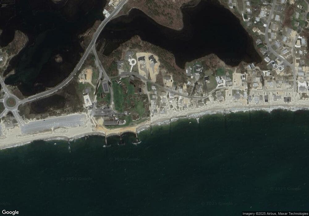
Map
Nearby Homes
- 178 School St
- 6 Baker Way
- 14 Schoolhouse Ln
- 2 Rita Mary Way
- 23 Doric Ave
- 61 Trotters Ln
- 401 Main St Unit 201
- 401 Main St Unit 101
- 209 Main St Unit 3
- 209 Main St Unit 6
- 209 Main St Unit 1
- 209 Main St Unit 2
- 209 Main St Unit 4
- 209 Main St Unit 5
- 467 Main St
- 10 Grindell Ave
- 37 Ocean Dr Unit 2
- 112 Old Wharf Rd Unit E4
- 112 Old Wharf Rd Unit E1
- 64 Beaten Rd
- 12 Ocean Park Way
- 12 Ocean Park Way
- 16 Ocean Park Way
- 5 Ocean Ave
- 10 Ocean Park Way
- 3 Ocean Ave
- 7 Ocean Ave
- 3 Ocean Ave
- 7 Ocean Ave
- 1 Ocean Ave
- 25 Uncle Stevens Rd
- 6 Ocean Ave
- 8 Ocean Ave
- 2 Ocean Ave
- 0 Uncle Stephens Rd
- 37 Uncle Stephens Rd
- 2 Ocean Ave
- 4 Ocean Ave
- 37A Uncle Stephens Rd
- 37B Uncle Stevens Rd