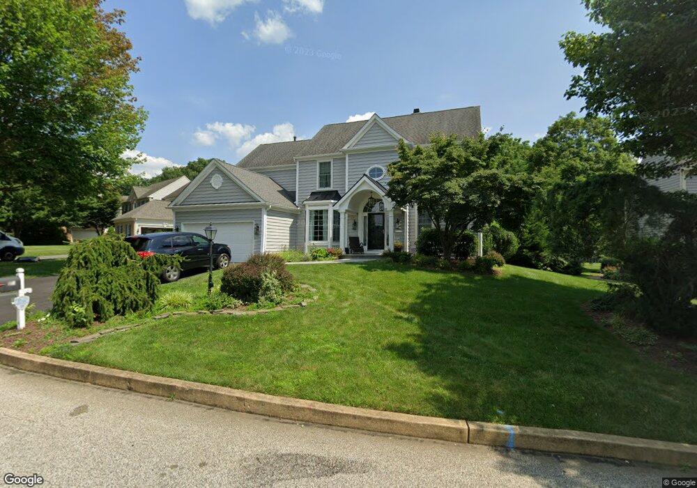
14 Palmer Dr Glen Mills, PA 19342
Concord Township Delaware NeighborhoodEstimated Value: $971,875 - $1,253,000
4
Beds
3
Baths
4,038
Sq Ft
$268/Sq Ft
Est. Value
About This Home
This home is located at 14 Palmer Dr, Glen Mills, PA 19342 and is currently estimated at $1,083,469, approximately $268 per square foot. 14 Palmer Dr is a home located in Delaware County with nearby schools including Garnet Valley High School, St Cornelius School, and St. Thomas Apostle School.
Ownership History
Date
Name
Owned For
Owner Type
Purchase Details
Closed on
Feb 7, 1998
Sold by
Schlesing William G and Schlesing Michelle N
Bought by
Mochulski John and Mochulski Joan
Current Estimated Value
Home Financials for this Owner
Home Financials are based on the most recent Mortgage that was taken out on this home.
Original Mortgage
$261,000
Interest Rate
6.89%
Mortgage Type
Purchase Money Mortgage
Purchase Details
Closed on
Sep 20, 1996
Sold by
Pulte Home Corp Of The Delaware Valley
Bought by
Schlesing William G and Schlesing Michelle N
Home Financials for this Owner
Home Financials are based on the most recent Mortgage that was taken out on this home.
Original Mortgage
$207,000
Interest Rate
7.43%
Mortgage Type
Purchase Money Mortgage
Create a Home Valuation Report for This Property
The Home Valuation Report is an in-depth analysis detailing your home's value as well as a comparison with similar homes in the area
Home Values in the Area
Average Home Value in this Area
Purchase History
| Date | Buyer | Sale Price | Title Company |
|---|---|---|---|
| Mochulski John | $290,000 | Commonwealth Land Title Ins | |
| Schlesing William G | $277,860 | Fidelity National Title |
Source: Public Records
Mortgage History
| Date | Status | Borrower | Loan Amount |
|---|---|---|---|
| Previous Owner | Mochulski John | $261,000 | |
| Previous Owner | Schlesing William G | $207,000 |
Source: Public Records
Tax History Compared to Growth
Tax History
| Year | Tax Paid | Tax Assessment Tax Assessment Total Assessment is a certain percentage of the fair market value that is determined by local assessors to be the total taxable value of land and additions on the property. | Land | Improvement |
|---|---|---|---|---|
| 2025 | $13,461 | $591,240 | $171,090 | $420,150 |
| 2024 | $13,461 | $591,240 | $171,090 | $420,150 |
| 2023 | $13,125 | $591,240 | $171,090 | $420,150 |
| 2022 | $12,980 | $591,240 | $171,090 | $420,150 |
| 2021 | $21,826 | $591,240 | $171,090 | $420,150 |
| 2020 | $11,239 | $284,440 | $72,010 | $212,430 |
| 2019 | $11,073 | $284,440 | $72,010 | $212,430 |
| 2018 | $10,903 | $284,440 | $0 | $0 |
| 2017 | $10,681 | $284,440 | $0 | $0 |
| 2016 | $1,561 | $284,440 | $0 | $0 |
| 2015 | $1,593 | $284,440 | $0 | $0 |
| 2014 | $1,593 | $284,440 | $0 | $0 |
Source: Public Records
Map
Nearby Homes
- 20 Hunters Way Unit 121
- 2203 William Campbell Way Unit 345
- 1604 E Fox Brushs Way
- 1402 S Hunting Horn Turn Unit 383
- 990 Smithbridge Rd
- 995 Smithbridge Rd
- 603 W Gray Fox Ln Unit 455
- 1000 N Phipps Woods Ct Unit 486
- 138 S Buck Tavern Way
- 134 S Buck Tavern Way Unit 10803
- 210 N Buck Tavern Way Unit 10603
- 124 S Buck Tavern Way Unit 10903
- 119 S Buck Tavern Way
- 129 S Buck Tavern Way Unit 11504
- 135 S Buck Tavern Way Unit 11501
- 4 Rigby Ct
- 348 Milton Stamp Dr
- 153 Kirk Rd
- 9 Molly Ln
- 48 Partridge Ln